Old Maps of Racket, Missouri for Hiking & Exploration
Hike through history with 17 historic maps of Racket. Explore old trails, ghost towns, and forgotten backroads — perfect for outdoor adventurers and local explorers.
- Rediscover forgotten places: Map out old mining camps, roads, and footpaths that no longer exist on modern maps.
- Layer with modern tools: Combine with LiDAR or satellite views to plan hikes through historical terrain.
- Made for exploration: Popular among hikers, overlanders, and local history lovers.
Use these maps to find adventure and explore the hidden past of Racket.
Racket, MO maps
(17)- 1887 Map of Warsaw
 1887 Warsaw1887 Print · USGSBenton County was a land of river junctions and railheads in the late 1880s. Local historians can trace the early footprints of Warsaw, the winding Missouri Pacific Railroad, and riverside settlements like Fairfield and Duroc.
 - 1894 Map of Warsaw
 1894 Warsaw1894 Print · USGSBenton County and its neighbors are shown here in the mid-1880s, centered on the river junctions that shaped early Missouri commerce. Genealogists can trace family roots through old rural centers like Fairfield, Boylers Mills, and Cross Timbers before the river valleys were transformed.4 unique versions available
 - 1936 Map of Shawnee Bend
 1936 Shawnee Bend1936 Print · USGSBenton County was undergoing a massive transformation in the mid-1930s as the newly formed Lake of the Ozarks reshaped the river valleys. Genealogists and local historians can trace family locations near Baugh Cem, the settlement of Racket, and numerous rural schoolhouses like Shawnee Bend Sch.
 - 1947 Map of Jefferson City, 1949 Print
 1947 Jefferson City1949 Print · USGSCentral Missouri and the northern Ozarks come into focus in this late 1940s survey of the river-and-rail landscape. Genealogists and historians can trace the growth of Jefferson City and Sedalia or locate family roots near Bagnell Dam and the Lake of the Ozarks.
 - 1954 Map of Jefferson City
 1954 Jefferson City1954 Print · USGSCentral Missouri in the early postwar years showcases a landscape defined by the winding Lake of the Ozarks and the state capital at Jefferson City. Researchers can trace the mid-century rail networks of the Missouri Pacific RR and locate rural communities like Tuscumbia, St Elizabeth, and St Anthony.2 unique versions available
 - 1955 Map of Shawnee Bend
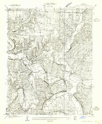 1955 Shawnee Bend1955 Print · USGSBenton County was a land of winding river valleys and ridge-top farmsteads during the mid-thirties and fifties. Genealogists and historians can trace the exact locations of local landmarks like Shawnee Bend Sch, Baugh Cem, and Shady Grove Ch.
 - 1955 Map of Jefferson City, 1967 Print
 1955 Jefferson City1967 Print · USGSCentral Missouri in the mid-fifties is defined by the winding Missouri River and the expanding reach of Lake of the Ozarks. Researchers can trace the rail corridors of the Missouri Pacific or locate the early footprint of Whiteman AFB and Jefferson City.4 unique versions available
 - 1958 Map of Jefferson City
 1958 Jefferson City1958 Print · USGSCentral Missouri in the late fifties shows a region transforming through the growth of Whiteman Air Force Base and the Lake of the Ozarks. Researchers can trace rail lines like the Missouri Pacific or find family roots at Enloe Cemetery and Mount Pleasant Cem.
 - 1959 Map of Jefferson City
 1959 Jefferson City1959 Print · USGSCentral Missouri is captured during the mid-fifties as the river economy and rail networks like the Missouri Pacific met the rise of the automobile. Local researchers can trace family landmarks and rural infrastructure from the Lake of the Ozarks up to Providence Cemetery and Knob Noster State Park.
 - 1959 Map of Shawnee Bend, 1960 Print
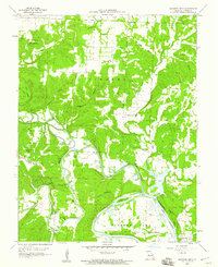 1959 Shawnee Bend1960 Print · USGSBenton County river life is captured here in the late fifties, where the Osage and Grand rivers meet at the head of the Ozarks. Researchers can locate vanished rural landmarks like Racket Sch, Sunnyside Ch, and the high ridges of Devils Backbone.3 unique versions available
 - 1980 Map of Shawnee Bend, 1982 Print
 1980 Shawnee Bend1982 Print · USGSBenton County was undergoing a massive transformation in the early eighties as new waters reshaped the landscape. Trace the fingers of the Harry S Truman Reservoir as they reach toward Warsaw and the small settlement at Racket.
 - 1983 Map of Shawnee Bend
 1983 Shawnee Bend1983 Print · USGSBenton County was undergoing a massive geographic shift in the early eighties as the new reservoir reshaped the river valleys. Genealogists can locate several family burial sites like Tindle Cem and Lane Cem, or trace older settlements such as Rackett and Macks Camp.
 - 1983 Map of Harry S Truman Reservoir, 1984 Print
 1983 Harry S Truman Reservoir1984 Print · USGSBenton and Henry counties center on the vast Harry S Truman Reservoir in the early 1980s as the landscape adapted to its new shoreline. Genealogists and historians can trace old river crossings like Bledsoe Ferry, local landmarks like Mt Zion Ch, and unique settlements such as Tightwad.
 - 2011 Map of Shawnee Bend, 2011 Print
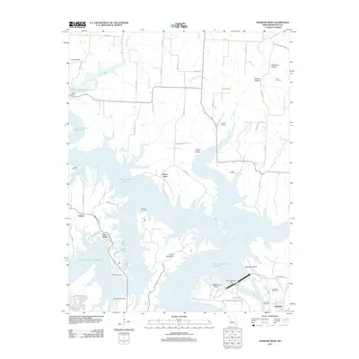 2011 Shawnee Bend2011 Print · USGSThe Benton County shoreline and the city of Warsaw are shown here in the early twenty-first century, following the massive hydrological shifts of the reservoir era. Genealogists can trace several local burial sites like Riverside Cemetery, Poe Cemetery, and Downing Cemetery.
 - 2014 Map of Shawnee Bend, 2014 Print
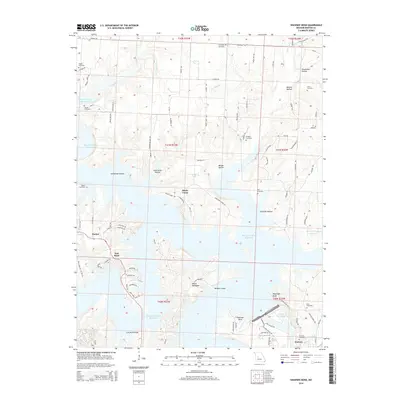 2014 Shawnee Bend2014 Print · USGSThe shorelines of the Harry S Truman Reservoir and Lake of the Ozarks meet in this modern look at Warsaw and the surrounding hollows. Local historians and genealogists can trace numerous family burial sites, including Sunnyside Cemetery, Dice Cemetery, and Baugh Cemetery.
 - 2017 Map of Shawnee Bend, 2017 Print
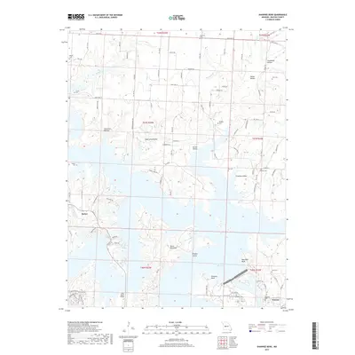 2017 Shawnee Bend2017 Print · USGSBenton County's river-cut landscape is transformed by the meeting of massive reservoirs in this mid-2010s survey. Researchers can trace family history at Riverside Cem and Osborn Cem or locate the distinctive ridge of Devils Backbone.
 - 2021 Map of Shawnee Bend, 2021 Print
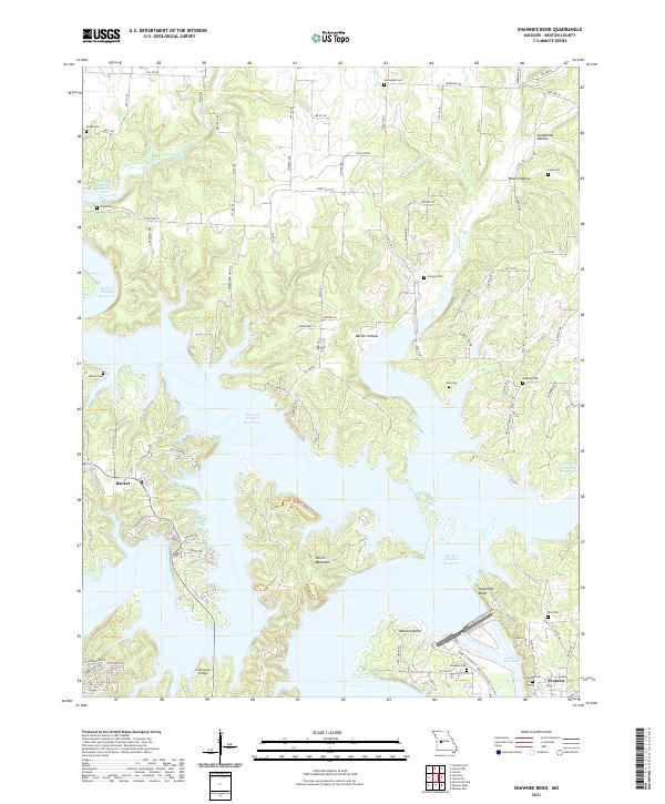 2021 Shawnee Bend2021 Print · USGSBenton County is shown at a time when the waters of the Harry S Truman Reservoir have reshaped the Missouri landscape. Researchers can trace family history through numerous burial sites like Baugh Cem and Poe Cem, or locate the crossing at Long Shoal Bridge.
End of results
Showing maps 1-17 of 17
Top cities near Racket
- Windsor historical maps
- Warsaw historical maps
- Lincoln historical maps
- Leesville historical maps
- Lowry City historical maps
- Calhoun historical maps
See more
Frequently asked questions
- What are the different types of historical maps available for Racket?
- What is the oldest map of Racket?
- Where can I purchase historical maps of Racket for my home or office?
- Where can I download high-res historical maps of Racket?
- Are there historical topographic maps available for Racket?
- Is there historical aerial imagery available for Racket?
- Where are historical maps of Racket sourced from?