2000s (21st Century) Maps of Marble Hill, Missouri
Explore 8 historic maps of Marble Hill from the 2000s (21st Century). These maps offer a rare glimpse into what life looked like during the 2000s — showing old roads, neighborhoods, homes, and landmarks that have changed or disappeared over time.
Whether you're researching your family's past, planning a metal detecting trip, or studying how Marble Hill's landscape evolved across the 2000s, these high-resolution maps are a powerful tool for exploring the history of this region.
- Focus on a specific era: All maps on this page are from the 2000s, giving you a focused view of this time period.
- See what’s changed: Compare century-old streets, trails, and buildings to today's modern landscape using overlays and satellite layers.
- Research with precision: Use these maps for genealogy, historical research, land use analysis, or educational projects.
- View, download, or print: Maps are fully viewable online in high resolution, and can be downloaded or printed for your own records.
Start exploring Marble Hill's history through authentic maps from the 2000s. This is your window into the past.
Marble Hill, MO maps
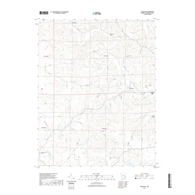
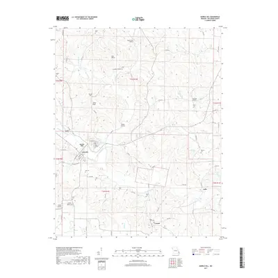
(8)- 2011 Map of Glenallen, 2011 Print
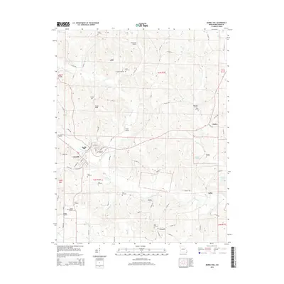
 2011 Glenallen2011 Print · USGSCovers Marble Hill, including Grassy, Bessville, and other nearby areas
 - 2012 Map of Marble Hill, 2012 Print
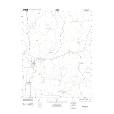 2012 Marble Hill2012 Print · USGSCovers Marble Hill, including Huskey, Laflin, and other nearby areas
 - 2015 Map of Glenallen, 2015 Print
 2015 Glenallen2015 Print · USGSCovers Marble Hill, including Grassy, Bessville, and other nearby areas
 - 2015 Map of Marble Hill, 2015 Print
 2015 Marble Hill2015 Print · USGSCovers Marble Hill, including Huskey, Laflin, and other nearby areas
 - 2017 Map of Glenallen, 2017 Print
 2017 Glenallen2017 Print · USGSCovers Marble Hill, including Grassy, Bessville, and other nearby areas
 - 2017 Map of Marble Hill, 2017 Print
 2017 Marble Hill2017 Print · USGSCovers Marble Hill, including Huskey, Laflin, and other nearby areas
 - 2021 Map of Marble Hill, 2021 Print
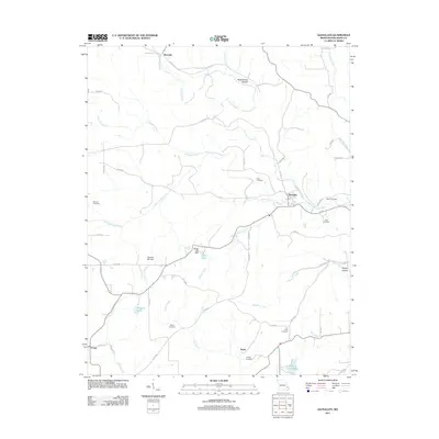
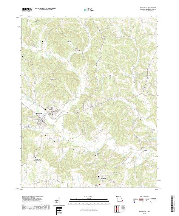 2021 Marble Hill2021 Print · USGSMarble Hill and the surrounding Bollinger County hills appear here in the early twenty-first century, centered on the historic Bollinger County Courthouse. Genealogists can trace decades of local heritage through numerous family burial sites, including Saint Johns Cem, Salybaugh Cem, and Laflin Cem.
 - 2021 Map of Glenallen, 2021 Print
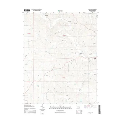
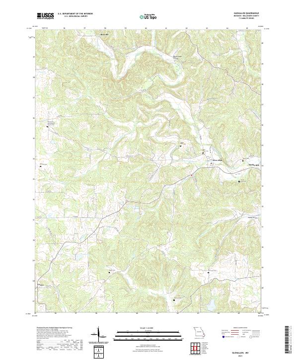 2021 Glenallen2021 Print · USGSBollinger County at the start of the 2020s shows a landscape of deep creek valleys and small rural settlements. Genealogists can trace family sites at the Glen Allen Cem, Shelton Cem, and the historic New Trace Creek Baptist Church Cem.
End of results
Showing maps 1-8 of 8
Top cities near Marble Hill
- Advance historical maps
- Marquand historical maps
- Sedgewickville historical maps
- Whitewater historical maps
- Allenville historical maps
- Zalma historical maps
Top neighborhoods of Marble Hill
Frequently asked questions
- What are the different types of historical maps available for Marble Hill?
- What is the oldest map of Marble Hill?
- Where can I purchase historical maps of Marble Hill for my home or office?
- Where can I download high-res historical maps of Marble Hill?
- Are there historical topographic maps available for Marble Hill?
- Is there historical aerial imagery available for Marble Hill?
- Where are historical maps of Marble Hill sourced from?