Old Maps of Camdenton, Missouri
Explore 25 old maps of Camdenton, spanning from 1888 to today. These high-resolution historic maps reveal how streets, neighborhoods, landmarks, and natural features evolved over time — perfect for genealogy, metal detecting, research, and local history exploration.
What you can do with these maps:
- See how Camdenton changed over time: Compare historical maps to modern-day views to trace roads, homesites, rail lines & more.
- View detailed metadata: Each map includes creators, publishers, year, scale, and archive source.
- Overlay maps with satellite & LiDAR: Visualize the past alongside modern tools to explore terrain & human change.
- Trusted historical sources: Maps sourced from the USGS, Library of Congress, and other archives.
- Access maps your way: View online, download high-res files, or order prints for personal or research use.
Start exploring old maps of Camdenton to uncover forgotten places, hidden landmarks, and the deep history beneath your feet.
Camdenton, MO maps
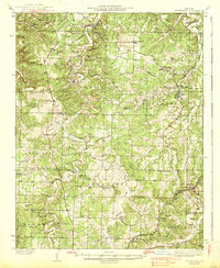
(25)- 1888 Map of Versailles
 1888 Versailles1888 Print · USGSCovers Camdenton, including Eldon, Osage Beach, and other nearby areas
 - 1893 Map of Versailles
 1893 Versailles1893 Print · USGSCovers Camdenton, including Eldon, Osage Beach, and other nearby areas4 unique versions available
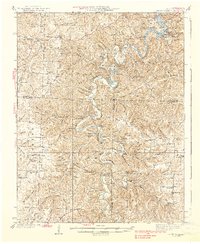
 - 1932 Map of Versailles No 4
 1932 Versailles No 41932 Print · USGSCovers Camdenton, including Osage Beach, Four Seasons, and other nearby areas
 - 1933 Map of Stoutland, 1962 Print
 1933 Stoutland1962 Print · USGSCovers Camdenton, including Decaturville, Delmar, and other nearby areas2 unique versions available
 - 1934 Map of Macks Creek
 1934 Macks Creek1934 Print · USGSCovers Camdenton, including Macks Creek, Leadmine, and other nearby areas4 unique versions available
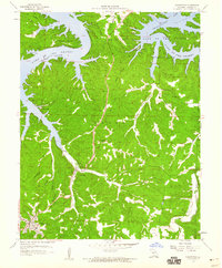
 - 1934 Map of Camdenton
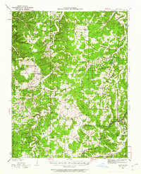
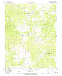
 1934 Camdenton1934 Print · USGSCovers Camdenton, including Osage Beach, Linn Creek, and other nearby areas
 - 1934 Map of Green Bay Terrace
 1934 Green Bay Terrace1934 Print · USGSCovers Camdenton, including Neongwah, Greenview, and other nearby areas2 unique versions available
 - 1938 Map of Stoutland
 1938 Stoutland1938 Print · USGSCovers Camdenton, including Decaturville, Delmar, and other nearby areas
 - 1939 Map of Macks Creek
 1939 Macks Creek1939 Print · USGSCovers Camdenton, including Macks Creek, Leadmine, and other nearby areas2 unique versions available
 - 1947 Map of Jefferson City, 1949 Print
 1947 Jefferson City1949 Print · USGSCovers Camdenton, including Columbia, Jefferson City, and other nearby areas2 unique versions available
 - 1954 Map of Jefferson City
 1954 Jefferson City1954 Print · USGSCovers Camdenton, including Columbia, Jefferson City, and other nearby areas2 unique versions available
 - 1954 Map of Springfield
 1954 Springfield1954 Print · USGSCovers Camdenton, including Springfield, Nixa, and other nearby areas6 unique versions available
 - 1955 Map of Jefferson City, 1967 Print
 1955 Jefferson City1967 Print · USGSCovers Camdenton, including Columbia, Jefferson City, and other nearby areas4 unique versions available
 - 1958 Map of Jefferson City
 1958 Jefferson City1958 Print · USGSCovers Camdenton, including Columbia, Jefferson City, and other nearby areas
 - 1958 Map of Springfield
 1958 Springfield1958 Print · USGSCovers Camdenton, including Springfield, Nixa, and other nearby areas
 - 1959 Map of Jefferson City
 1959 Jefferson City1959 Print · USGSCovers Camdenton, including Columbia, Jefferson City, and other nearby areas
 - 1959 Map of Springfield
 1959 Springfield1959 Print · USGSCovers Camdenton, including Springfield, Nixa, and other nearby areas
 - 1959 Map of Camdenton, 1960 Print
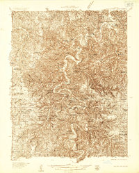
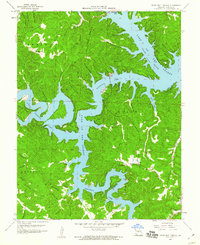
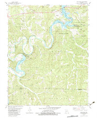
 1959 Camdenton1960 Print · USGSCovers Camdenton, including Osage Beach, Linn Creek, and other nearby areas3 unique versions available
 - 1959 Map of Green Bay Terrace, 1960 Print
 1959 Green Bay Terrace1960 Print · USGSCovers Camdenton, including Neongwah, Greenview, and other nearby areas3 unique versions available
 - 1975 Map of Decaturville, 1978 Print
 1975 Decaturville1978 Print · USGSCovers Camdenton, including Decaturville, Hugo, and other nearby areas
 - 1982 Map of Hahatonka, 1983 Print
 1982 Hahatonka1983 Print · USGSCovers Camdenton, including Hahatonka, White City, and other nearby areas2 unique versions available
 - 1982 Map of Lebanon, 1983 Print
 1982 Lebanon1983 Print · USGSCovers Camdenton, including Lebanon, Saint Robert, and other nearby areas
 - 1983 Map of Camdenton
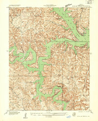
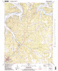 1983 Camdenton1983 Print · USGSCovers Camdenton, including Osage Beach, Linn Creek, and other nearby areas2 unique versions available
 - 1983 Map of Green Bay Terrace
 1983 Green Bay Terrace1983 Print · USGSCovers Camdenton, including Neongwah, Greenview, and other nearby areas2 unique versions available
 - 1983 Map of Lake Of The Ozarks, 1984 Print
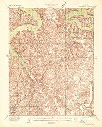
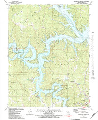
 1983 Lake Of The Ozarks1984 Print · USGSCovers Camdenton, including Eldon, Osage Beach, and other nearby areas
End of results
Showing maps 1-25 of 25
Top cities near Camdenton
- Osage Beach historical maps
- Four Seasons historical maps
- Lake Ozark historical maps
- Laurie historical maps
- Sunrise Beach historical maps
- Linn Creek historical maps
See more
Frequently asked questions
- What are the different types of historical maps available for Camdenton?
- What is the oldest map of Camdenton?
- Where can I purchase historical maps of Camdenton for my home or office?
- Where can I download high-res historical maps of Camdenton?
- Are there historical topographic maps available for Camdenton?
- Is there historical aerial imagery available for Camdenton?
- Where are historical maps of Camdenton sourced from?