Old Maps of Cape Girardeau County, Missouri for Hiking & Exploration
Hike through history with 65 historic maps of Cape Girardeau County. Explore old trails, ghost towns, and forgotten backroads — perfect for outdoor adventurers and local explorers.
- Rediscover forgotten places: Map out old mining camps, roads, and footpaths that no longer exist on modern maps.
- Layer with modern tools: Combine with LiDAR or satellite views to plan hikes through historical terrain.
- Made for exploration: Popular among hikers, overlanders, and local history lovers.
Use these maps to find adventure and explore the hidden past of Cape Girardeau County.
Cape Girardeau County, MO maps
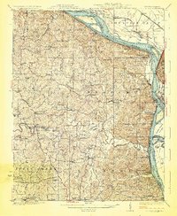
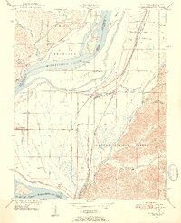
(65)- 1918 Map of Altenburg
 1918 Altenburg1918 Print · USGSCovers Cape Girardeau County, including Grand Tower, Altenburg, and other nearby areas
 - 1920 Map of Jonesboro
 1920 Jonesboro1920 Print · USGSCovers Cape Girardeau County, including Cape Girardeau, Anna, and other nearby areas
 - 1922 Map of Cape Girardeau, 1954 Print
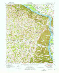
 1922 Cape Girardeau1954 Print · USGSCovers Cape Girardeau County, including Cape Girardeau, Jackson, and other nearby areas3 unique versions available
 - 1923 Map of Jonesboro
 1923 Jonesboro1923 Print · USGSCovers Cape Girardeau County, including Cape Girardeau, Anna, and other nearby areas2 unique versions available
 - 1923 Map of Perryville, 1960 Print
 1923 Perryville1960 Print · USGSCovers Cape Girardeau County, including Perryville, Sedgewickville, and other nearby areas2 unique versions available
 - 1924 Map of Cape Girardeau
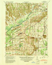
 1924 Cape Girardeau1924 Print · USGSCovers Cape Girardeau County, including Cape Girardeau, Jackson, and other nearby areas2 unique versions available
 - 1924 Map of Perryville
 1924 Perryville1924 Print · USGSCovers Cape Girardeau County, including Perryville, Sedgewickville, and other nearby areas2 unique versions available
 - 1924 Map of Alto Pass
 1924 Alto Pass1924 Print · USGSCovers Cape Girardeau County, including Carbondale, Murphysboro, and other nearby areas2 unique versions available
 - 1925 Map of Altenburg
 1925 Altenburg1925 Print · USGSCovers Cape Girardeau County, including Grand Tower, Altenburg, and other nearby areas3 unique versions available
 - 1933 Map of Marble Hill, 1964 Print
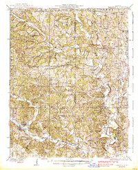
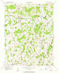
 1933 Marble Hill1964 Print · USGSCovers Cape Girardeau County, including Marble Hill, Mayfield, and other nearby areas3 unique versions available
 - 1934 Map of Thebes
 1934 Thebes1934 Print · USGSCovers Cape Girardeau County, including Scott City, Tamms, and other nearby areas4 unique versions available
 - 1934 Map of Morley
 1934 Morley1934 Print · USGSCovers Cape Girardeau County, including Cape Girardeau, Scott City, and other nearby areas3 unique versions available
 - 1934 Map of Advance
 1934 Advance1934 Print · USGSCovers Cape Girardeau County, including Advance, Bell City, and other nearby areas3 unique versions available
 - 1937 Map of Marble Hill
 1937 Marble Hill1937 Print · USGSCovers Cape Girardeau County, including Marble Hill, Mayfield, and other nearby areas2 unique versions available
 - 1939 Map of Morley, 1942 Print
 1939 Morley1942 Print · USGSCovers Cape Girardeau County, including Cape Girardeau, Scott City, and other nearby areas2 unique versions available
 - 1939 Map of Advance, 1942 Print
 1939 Advance1942 Print · USGSCovers Cape Girardeau County, including Advance, Bell City, and other nearby areas
 - 1939 Map of Thebes, 1946 Print
 1939 Thebes1946 Print · USGSCovers Cape Girardeau County, including Scott City, Tamms, and other nearby areas
 - 1947 Map of Jonesboro, 1954 Print
 1947 Jonesboro1954 Print · USGSCovers Cape Girardeau County, including Cape Girardeau, Anna, and other nearby areas3 unique versions available
 - 1947 Map of Alto Pass, 1954 Print
 1947 Alto Pass1954 Print · USGSCovers Cape Girardeau County, including Carbondale, Murphysboro, and other nearby areas2 unique versions available
 - 1947 Map of Mc Clure, 1954 Print
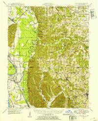
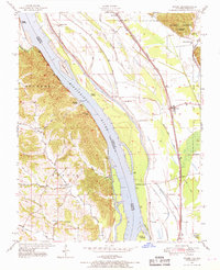
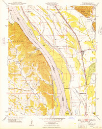
 1947 Mc Clure1954 Print · USGSCovers Cape Girardeau County, including Cape Girardeau, McClure, and other nearby areas3 unique versions available
 - 1947 Map of Oak Ridge, 1964 Print
 1947 Oak Ridge1964 Print · USGSCovers Cape Girardeau County, including Oak Ridge, Pocahontas, and other nearby areas2 unique versions available
 - 1947 Map of Wolf Lake, 1966 Print
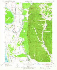 1947 Wolf Lake1966 Print · USGSCovers Cape Girardeau County, including Grand Tower, Wolf Lake, and other nearby areas3 unique versions available
 - 1947 Map of Ware, 1969 Print
 1947 Ware1969 Print · USGSCovers Cape Girardeau County, including Ware, Egypt Mills, and other nearby areas3 unique versions available
 - 1947 Map of Altenburg, 1976 Print
 1947 Altenburg1976 Print · USGSCovers Cape Girardeau County, including Grand Tower, Altenburg, and other nearby areas
 - 1948 Map of Ware
 1948 Ware1948 Print · USGSCovers Cape Girardeau County, including Ware, Egypt Mills, and other nearby areas2 unique versions available
Showing maps 1-25 of 65
Top cities of Cape Girardeau County
- Cape Girardeau historical maps
- Jackson historical maps
- Delta historical maps
- Gordonville historical maps
- Oak Ridge historical maps
- Pocahontas historical maps
See more
Frequently asked questions
- What are the different types of historical maps available for Cape Girardeau County?
- What is the oldest map of Cape Girardeau County?
- Where can I purchase historical maps of Cape Girardeau County for my home or office?
- Where can I download high-res historical maps of Cape Girardeau County?
- Are there historical topographic maps available for Cape Girardeau County?
- Is there historical aerial imagery available for Cape Girardeau County?
- Where are historical maps of Cape Girardeau County sourced from?