Old Maps of Sumner, Missouri for Metal Detecting
Plan your next treasure hunt with 11 historic maps of Sumner. Find old homesites, ghost towns, trails, and gathering spots that may be lost to time — perfect for identifying promising metal detecting locations.
- Locate forgotten sites: Uncover places like long-lost settlements, abandoned rail lines, or gathering spots.
- Plan better hunts: Use map overlays combined with LiDAR or satellite views to narrow in on historically rich areas.
- Made for detectorists: Thousands of hobbyists use these maps to discover relics, coins, and hidden history.
Use these historic maps to boost your research and find new opportunities beneath the surface of Sumner.
Sumner, MO maps
(11)- 1949 Map of Sumner
 1949 Sumner1949 Print · USGSThe rail-and-river landscape of Chariton County is captured here in the late 1940s as agriculture and conservation efforts began to shape the terrain. Researchers can locate vanished landmarks like the Forker Boomer PO, rural schools such as Kaye Sch, and local resting places like Purvis Cem.2 unique versions available
 - 1950 Map of Sumner
 1950 Sumner1950 Print · USGSMid-century Chariton County comes to life at this rail junction where the Wabash line intersects the Chicago Burlington and Quincy. Genealogists can trace local roots at Purvis Cem, Prairie Mound Sch, and the Forker Boomer PO.2 unique versions available
 - 1953 Map of Moberly
 1953 Moberly1953 Print · USGSMid-century north-central Missouri is documented here as a bustling intersection of river commerce and heavy rail. Researchers can trace historic family-named landmarks and transport hubs from the Missouri River corridor to the rail yards of Moberly, Chillicothe, and Macon.
 - 1954 Map of Moberly, 1969 Print
 1954 Moberly1969 Print · USGSMid-century Missouri is captured here during a period of transition for its river towns and rail hubs. Genealogists and historians can trace the paths of the Wabash railroad through Moberly or explore the riverside layout of Lexington and Brunswick.3 unique versions available
 - 1957 Map of Moberly
 1957 Moberly1957 Print · USGSNorth-central Missouri in the late nineteen-forties and fifties remains a landscape defined by its great rivers and a dense network of steam and diesel rail lines. Genealogists and historians can trace the paths of the Wabash RR and Santa Fe RR through historic junctions like Moberly, Brookfield, and Macon.
 - 1960 Map of Moberly
 1960 Moberly1960 Print · USGSCentral Missouri comes alive in the mid-twentieth century as a bustling network of river towns and significant rail corridors. Genealogists and historians can trace the paths of the Wabash RR through Moberly or explore the riverfronts of Lexington and Brunswick.
 - 1981 Map of Chillicothe
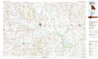 1981 Chillicothe1981 Print · USGSNorth Missouri's Grand River basin comes into focus during the early 1980s, showcasing a network of vital rail lines and river settlements. Genealogists and historians can trace rail-town development from Gallatin to Brookfield and explore extensive conservation lands like Swan Lake National Wildlife Refuge.
 - 2012 Map of Sumner, 2012 Print
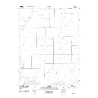 2012 Sumner2012 Print · USGSChariton County, Missouri, at the turn of the decade is defined by its vast wetlands and rural farmsteads. Researchers can trace family history at Purvis Cemetery, locate the historic Forker Boomer Post Office, or study the managed hydrology of the Swan Lake National Wildlife Ref.
 - 2015 Map of Sumner, 2015 Print
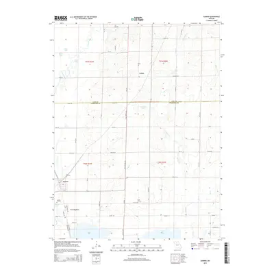 2015 Sumner2015 Print · USGSThe river-bottom country of Linn and Chariton Counties is captured here in the mid-2010s, showing a landscape defined by water and wetlands. Researchers can trace local lineage through sites like Purvis Cemetery or locate family homesteads near Sumner and Forker.
 - 2017 Map of Sumner, 2017 Print
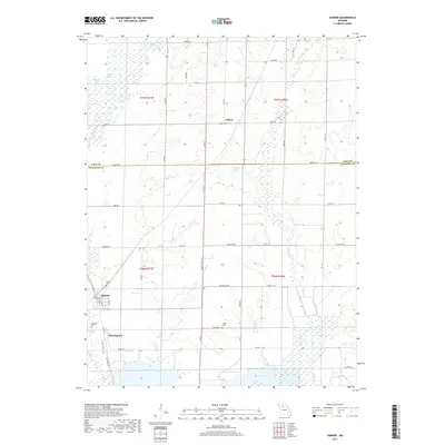 2017 Sumner2017 Print · USGSChariton County's prairie and wetlands are mapped here in the modern era, showing the enduring agricultural layout of Sumner and Cunningham. Genealogists can locate family sites like Purvis Cem and Taylor Cem among the many oxbows of Locust Creek.
 - 2021 Map of Sumner, 2021 Print
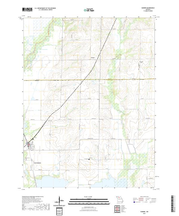 2021 Sumner2021 Print · USGSThe river-bottom country of Chariton County is captured here in the early 2020s, showing a landscape defined by wetlands and rural outposts. Researchers can trace family history at Purvis Cem and Lakeside Cem or locate the small settlements of Sumner and Forker.
End of results
Showing maps 1-11 of 11
Top cities near Sumner
- Brookfield historical maps
- Brunswick historical maps
- Hale historical maps
- Meadville historical maps
- Laclede historical maps
- Bosworth historical maps
See more
Frequently asked questions
- What are the different types of historical maps available for Sumner?
- What is the oldest map of Sumner?
- Where can I purchase historical maps of Sumner for my home or office?
- Where can I download high-res historical maps of Sumner?
- Are there historical topographic maps available for Sumner?
- Is there historical aerial imagery available for Sumner?
- Where are historical maps of Sumner sourced from?