2000s (21st Century) Maps of Otterville, Missouri
Explore 8 historic maps of Otterville from the 2000s (21st Century). These maps offer a rare glimpse into what life looked like during the 2000s — showing old roads, neighborhoods, homes, and landmarks that have changed or disappeared over time.
Whether you're researching your family's past, planning a metal detecting trip, or studying how Otterville's landscape evolved across the 2000s, these high-resolution maps are a powerful tool for exploring the history of this region.
- Focus on a specific era: All maps on this page are from the 2000s, giving you a focused view of this time period.
- See what’s changed: Compare century-old streets, trails, and buildings to today's modern landscape using overlays and satellite layers.
- Research with precision: Use these maps for genealogy, historical research, land use analysis, or educational projects.
- View, download, or print: Maps are fully viewable online in high resolution, and can be downloaded or printed for your own records.
Start exploring Otterville's history through authentic maps from the 2000s. This is your window into the past.
Otterville, MO maps
(8)- 2011 Map of Otterville West, 2011 Print
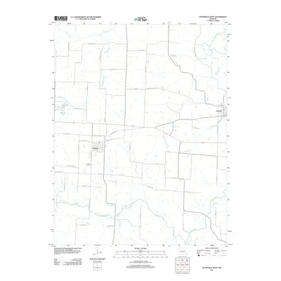 2011 Otterville West2011 Print · USGSCovers Otterville, including Smithton, Pettis County, and other nearby areas
 - 2011 Map of Otterville East, 2011 Print
 2011 Otterville East2011 Print · USGSCovers Otterville, including Syracuse, Morgan County, and other nearby areas
 - 2014 Map of Otterville West, 2014 Print
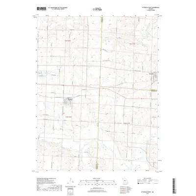
 2014 Otterville West2014 Print · USGSCovers Otterville, including Smithton, Pettis County, and other nearby areas
 - 2015 Map of Otterville East, 2015 Print
 2015 Otterville East2015 Print · USGSCovers Otterville, including Syracuse, Morgan County, and other nearby areas
 - 2017 Map of Otterville East, 2017 Print
 2017 Otterville East2017 Print · USGSCovers Otterville, including Syracuse, Morgan County, and other nearby areas
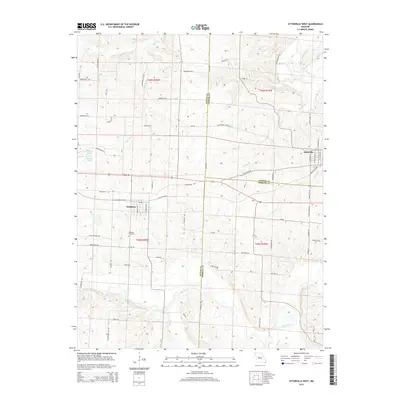
 - 2017 Map of Otterville West, 2017 Print
 2017 Otterville West2017 Print · USGSCovers Otterville, including Smithton, Pettis County, and other nearby areas
 - 2021 Map of Otterville West, 2021 Print
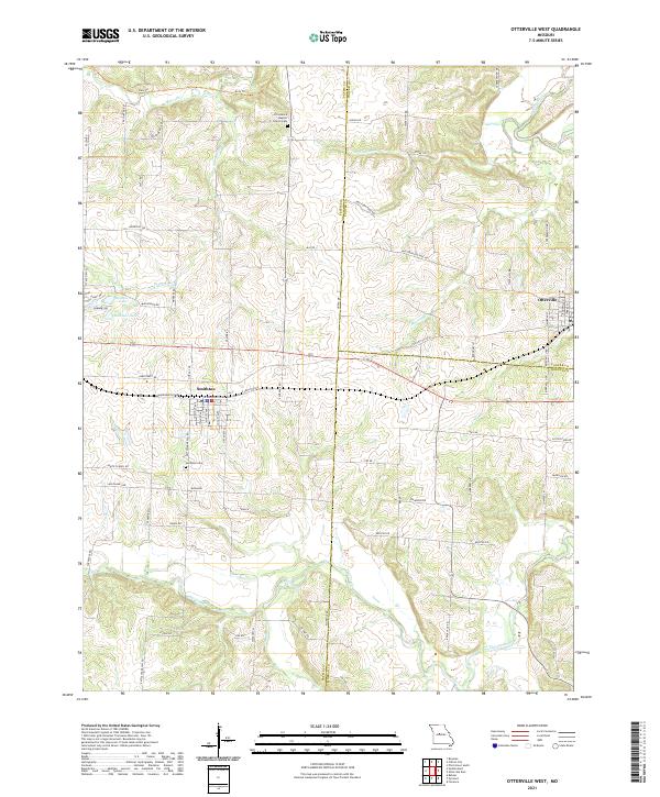 2021 Otterville West2021 Print · USGSPettis County and the Cooper County border are captured here in the early twenty-first century, showing a landscape of scattered farmsteads and rural towns. Researchers can trace historic travel corridors like the Katy Trl and Butterfield Stage Rd or locate family roots at the Smithton Cem.
 - 2021 Map of Otterville East, 2021 Print
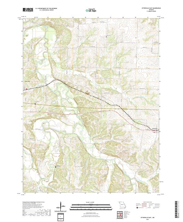 2021 Otterville East2021 Print · USGSCentral Missouri's rural landscape at the start of the 2020s shows the enduring settlements along the Cooper and Morgan county line. Researchers can locate family landmarks like Finley-Dinwiddie Family Cem and the waters of Flat Creek.
End of results
Showing maps 1-8 of 8
Top cities near Otterville
- Sedalia historical maps
- Tipton historical maps
- Pilot Grove historical maps
- Smithton historical maps
- Bunceton historical maps
- Syracuse historical maps
Frequently asked questions
- What are the different types of historical maps available for Otterville?
- What is the oldest map of Otterville?
- Where can I purchase historical maps of Otterville for my home or office?
- Where can I download high-res historical maps of Otterville?
- Are there historical topographic maps available for Otterville?
- Is there historical aerial imagery available for Otterville?
- Where are historical maps of Otterville sourced from?