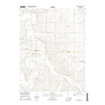
2015 Map of Otterville East
USGS Topo · Published 2015About this map
Otterville and Syracuse anchor this rural landscape in central Missouri, where the terrain is deeply carved by the serpentine Lamine River and its numerous tributaries. The map details a complex hydrologic network including Richland Creek, Flat Creek, and Petite Saline Cr, which define the drainage patterns across the Cooper and Morgan county line. For those researching local history, the placement of Shackleford Cemetery, Antioch Cemetery, and the Finley - Dinwiddie Family Cemetery provides specific locations for ancestral study.
Find a feature on this map
60 named features on this map. Tap any name to fly to it.
Don’t see what you’re looking for? This feature index may not catch every label — zoom into the map to look around manually.
Map Details
Editions of this 2015 Otterville East Map
This is the sole edition of this map. No revisions or reprints were ever made.
Other maps of this area
1887 · Sedalia
USGS Topo · 1:125,000
1888 · Boonville
USGS Topo · 1:125,000
1894 · Sedalia
USGS Topo · 1:125,000
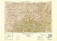
1947 · Jefferson City
USGS Topo · 1:250,000
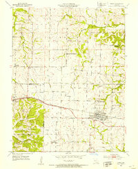
1952 · Tipton
USGS Topo · 1:24,000
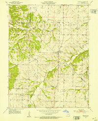
1952 · Fortuna
USGS Topo · 1:24,000
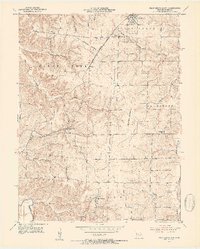
1953 · Pilot Grove South
USGS Topo · 1:24,000
1953 · Florence
USGS Topo · 1:24,000
1953 · Bunceton
USGS Topo · 1:24,000
1953 · Otterville East
USGS Topo · 1:24,000