2000s (21st Century) Maps of Pilot Grove, Missouri
Explore 8 historic maps of Pilot Grove from the 2000s (21st Century). These maps offer a rare glimpse into what life looked like during the 2000s — showing old roads, neighborhoods, homes, and landmarks that have changed or disappeared over time.
Whether you're researching your family's past, planning a metal detecting trip, or studying how Pilot Grove's landscape evolved across the 2000s, these high-resolution maps are a powerful tool for exploring the history of this region.
- Focus on a specific era: All maps on this page are from the 2000s, giving you a focused view of this time period.
- See what’s changed: Compare century-old streets, trails, and buildings to today's modern landscape using overlays and satellite layers.
- Research with precision: Use these maps for genealogy, historical research, land use analysis, or educational projects.
- View, download, or print: Maps are fully viewable online in high resolution, and can be downloaded or printed for your own records.
Start exploring Pilot Grove's history through authentic maps from the 2000s. This is your window into the past.
Pilot Grove, MO maps
(8)- 2011 Map of Pilot Grove South, 2011 Print
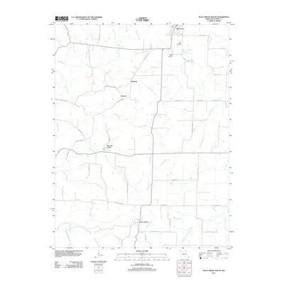 2011 Pilot Grove South2011 Print · USGSCovers Pilot Grove, including Pleasant Green, New Lebanon, and other nearby areas
 - 2011 Map of Pilot Grove North, 2011 Print
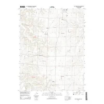
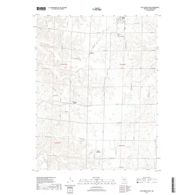
 2011 Pilot Grove North2011 Print · USGSCovers Pilot Grove, including Blackwater, Chouteau Springs, and other nearby areas
 - 2015 Map of Pilot Grove South, 2015 Print
 2015 Pilot Grove South2015 Print · USGSCovers Pilot Grove, including Pleasant Green, New Lebanon, and other nearby areas
 - 2015 Map of Pilot Grove North, 2015 Print
 2015 Pilot Grove North2015 Print · USGSCovers Pilot Grove, including Blackwater, Chouteau Springs, and other nearby areas
 - 2017 Map of Pilot Grove South, 2017 Print
 2017 Pilot Grove South2017 Print · USGSCovers Pilot Grove, including Pleasant Green, New Lebanon, and other nearby areas
 - 2017 Map of Pilot Grove North, 2017 Print
 2017 Pilot Grove North2017 Print · USGSCovers Pilot Grove, including Blackwater, Chouteau Springs, and other nearby areas
 - 2021 Map of Pilot Grove North, 2021 Print
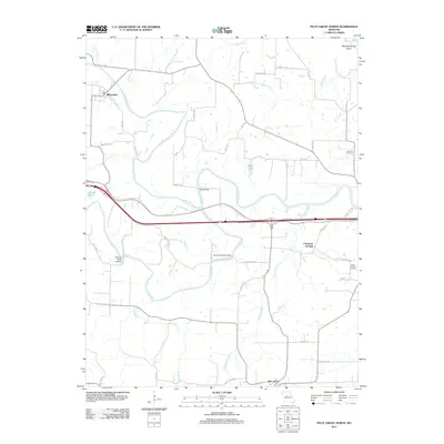
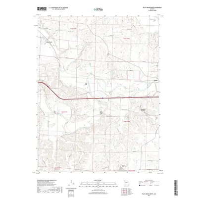
 2021 Pilot Grove North2021 Print · USGSCooper County's river valleys and rural settlements are preserved here in the early twenty-first century. Genealogists and local historians can trace the locations of Old Lamine Cem and Saint Martins Cem, or explore the area around Chouteau Springs and Dicks Bridge.
 - 2021 Map of Pilot Grove South, 2021 Print
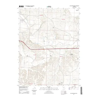
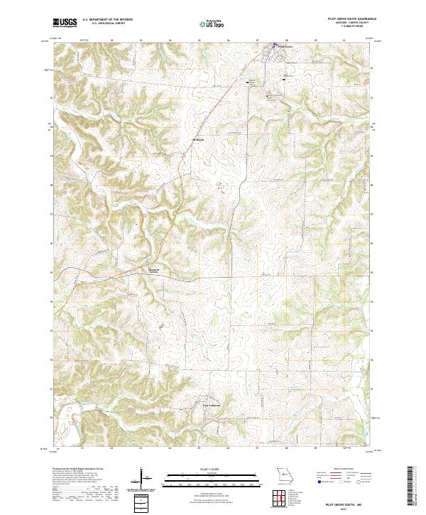 2021 Pilot Grove South2021 Print · USGSCooper County’s agricultural heartland is documented here in the early twenty-first century, showing the rural networks connecting Pilot Grove and Pleasant Green. Genealogists and historians can locate legacy sites like Saint Joseph Cem or trace the path of the Katy Trl.
End of results
Showing maps 1-8 of 8
Top cities near Pilot Grove
- Boonville historical maps
- Tipton historical maps
- New Franklin historical maps
- Smithton historical maps
- Otterville historical maps
- Bunceton historical maps
See more
Frequently asked questions
- What are the different types of historical maps available for Pilot Grove?
- What is the oldest map of Pilot Grove?
- Where can I purchase historical maps of Pilot Grove for my home or office?
- Where can I download high-res historical maps of Pilot Grove?
- Are there historical topographic maps available for Pilot Grove?
- Is there historical aerial imagery available for Pilot Grove?
- Where are historical maps of Pilot Grove sourced from?