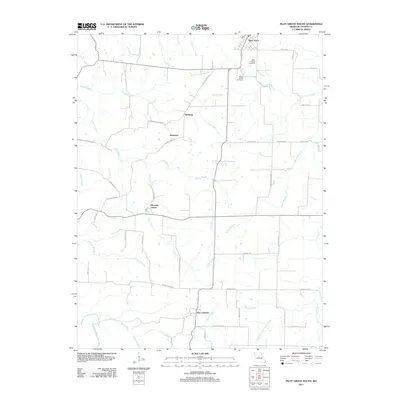
2011 Map of Pilot Grove South
USGS Topo · Published 2011About this map
Pilot Grove anchors the northern edge of this Cooper County landscape, situated where the high prairie begins its descent into a network of creek valleys. The area is defined by its small agricultural settlements, including Pleasant Green and New Lebanon, which are connected by a web of rural routes like Mount Moriah Rd and Georgetown Dr. These communities grew around the fertile drainages of the Lamine River and Honey Creek, reflecting a late-twentieth-century rural character that maintains its historical footprints through sites like Saint Joseph Cemetery and Mount Vernon Cemetery.
Find a feature on this map
48 named features on this map. Tap any name to fly to it.
Don’t see what you’re looking for? This feature index may not catch every label — zoom into the map to look around manually.
Map Details
Editions of this 2011 Pilot Grove South Map
This is the sole edition of this map. No revisions or reprints were ever made.
Other maps of this area

1887 · Sedalia
USGS Topo · 1:125,000

1888 · Boonville
USGS Topo · 1:125,000

1894 · Sedalia
USGS Topo · 1:125,000

1947 · Jefferson City
USGS Topo · 1:250,000

1952 · Tipton
USGS Topo · 1:24,000

1953 · Billingsville
USGS Topo · 1:24,000

1953 · Pilot Grove North
USGS Topo · 1:24,000

1953 · Pilot Grove South
USGS Topo · 1:24,000
1953 · Bunceton
USGS Topo · 1:24,000
1953 · Otterville East
USGS Topo · 1:24,000