Old Maps of Cedar Ridge, Missouri for Hiking & Exploration
Hike through history with 11 historic maps of Cedar Ridge. Explore old trails, ghost towns, and forgotten backroads — perfect for outdoor adventurers and local explorers.
- Rediscover forgotten places: Map out old mining camps, roads, and footpaths that no longer exist on modern maps.
- Layer with modern tools: Combine with LiDAR or satellite views to plan hikes through historical terrain.
- Made for exploration: Popular among hikers, overlanders, and local history lovers.
Use these maps to find adventure and explore the hidden past of Cedar Ridge.
Cedar Ridge, MO maps
(11)- 1939 Map of Long Lane, 1966 Print
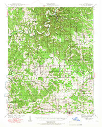 1939 Long Lane1966 Print · USGSDallas and Laclede Counties were defined by the winding Niangua River and the rural rail economy in the late 1930s. Genealogists can find numerous family-named landmarks like Williams Cem and isolated schools such as Blackfoot Sch.
 - 1942 Map of Long Lane
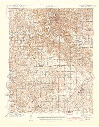 1942 Long Lane1942 Print · USGSThe Ozark plateau comes alive in the early 1940s, showing a land defined by the winding Niangua River and the rural townships of Wilson and Union. Researchers can trace dozens of country schoolhouses like Lonesome Hill Sch and Loudon Smoke Sch or locate ancestors near Shanks Cem.3 unique versions available
 - 1954 Map of Springfield
 1954 Springfield1954 Print · USGSThe Missouri Ozarks are captured here during the post-war era, showing the expansion of Springfield and the surrounding river valleys. Genealogists and historians can trace local landmarks like Mount Comfort Cemetery and the Fort Leonard Wood military grounds.6 unique versions available
 - 1958 Map of Springfield
 1958 Springfield1958 Print · USGSThe Missouri Ozarks are captured during the mid-century era of growth, centered on the bustling hub of Springfield. Genealogists and historians can trace family roots through numerous landmarks like Ebenezer Church, Stockton Cem, and the various county courthouses.
 - 1959 Map of Springfield
 1959 Springfield1959 Print · USGSThe Missouri Ozarks are captured here during a decade of postwar growth and increasing highway connectivity. Researchers can trace the legacy of the St Louis-San Francisco RR and locate early sites in Springfield, Lebanon, and Mountain Grove.
 - 1982 Map of Windyville, 1983 Print
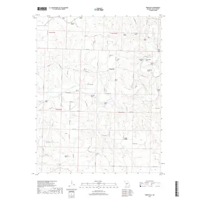
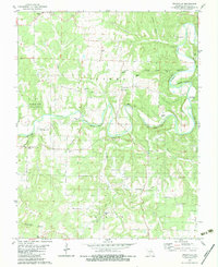 1982 Windyville1983 Print · USGSIn the early 1980s, the Niangua River valley in Dallas County maintained a quiet rural character centered on the settlement of Windyville. Researchers can trace deep family roots through numerous local burial grounds like Scrivner and Fourmile cemeteries or explore the river terrain near Kehler Bluff.
 - 1982 Map of Lebanon, 1983 Print
 1982 Lebanon1983 Print · USGSThe Missouri Ozarks are captured in the early eighties as Interstate 44 and the St Louis-San Francisco rail line link growing towns with the Fort Leonard Wood Military Reservation. Genealogists and historians can trace family-named sites like Flatwood Church and old post offices at Sleeper and Nebo.
 - 2011 Map of Windyville, 2011 Print
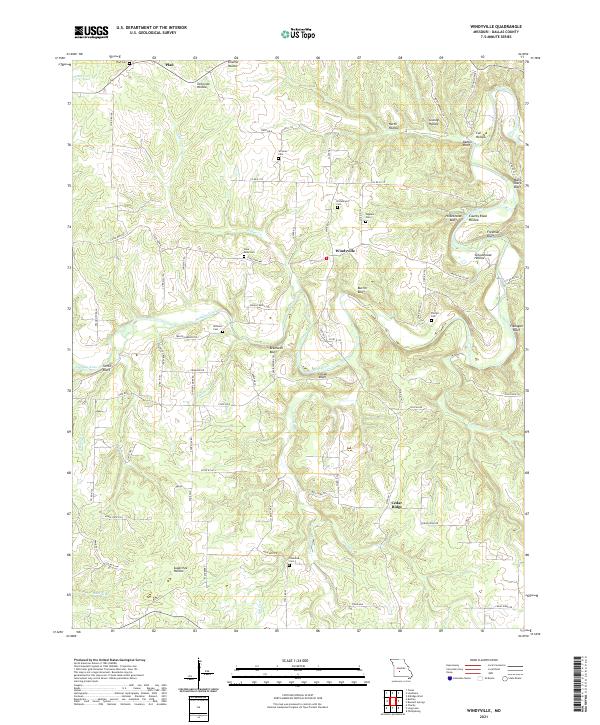
 2011 Windyville2011 Print · USGSCovers Cedar Ridge, including Windyville, Tilden, and other nearby areas
 - 2015 Map of Windyville, 2015 Print
 2015 Windyville2015 Print · USGSCovers Cedar Ridge, including Windyville, Tilden, and other nearby areas
 - 2017 Map of Windyville, 2017 Print
 2017 Windyville2017 Print · USGSCovers Cedar Ridge, including Windyville, Tilden, and other nearby areas
 - 2021 Map of Windyville, 2021 Print
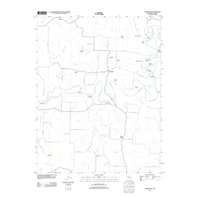
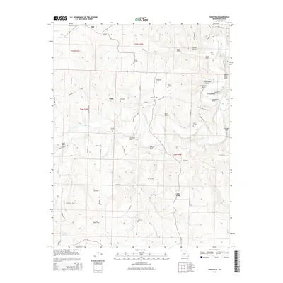
 2021 Windyville2021 Print · USGSDallas County in the early 2020s remains a landscape of river bluffs and rural crossroads. Genealogists and local historians can trace family burial sites like Phillips Cem and Plad Cem or locate old landmarks such as Bramwell Bluff and Windyville.
End of results
Showing maps 1-11 of 11
Top cities near Cedar Ridge
- Lebanon historical maps
- Buffalo historical maps
- Conway historical maps
- Phillipsburg historical maps
- Louisburg historical maps
- Caffeyville historical maps
Frequently asked questions
- What are the different types of historical maps available for Cedar Ridge?
- What is the oldest map of Cedar Ridge?
- Where can I purchase historical maps of Cedar Ridge for my home or office?
- Where can I download high-res historical maps of Cedar Ridge?
- Are there historical topographic maps available for Cedar Ridge?
- Is there historical aerial imagery available for Cedar Ridge?
- Where are historical maps of Cedar Ridge sourced from?