Old Maps of Herrick Ford, Missouri for Metal Detecting
Plan your next treasure hunt with 11 historic maps of Herrick Ford. Find old homesites, ghost towns, trails, and gathering spots that may be lost to time — perfect for identifying promising metal detecting locations.
- Locate forgotten sites: Uncover places like long-lost settlements, abandoned rail lines, or gathering spots.
- Plan better hunts: Use map overlays combined with LiDAR or satellite views to narrow in on historically rich areas.
- Made for detectorists: Thousands of hobbyists use these maps to discover relics, coins, and hidden history.
Use these historic maps to boost your research and find new opportunities beneath the surface of Herrick Ford.
Herrick Ford, MO maps
(11)- 1934 Map of Macks Creek
 1934 Macks Creek1934 Print · USGSIn the central Ozarks during the 1930s, the rugged river valleys supported a landscape of isolated homesteads and country schoolhouses. Genealogists can locate family landmarks like Laughlin Cem, Johnston Castle, and the Tunnel Dam along the Niangua River.4 unique versions available
 - 1939 Map of Macks Creek
 1939 Macks Creek1939 Print · USGSThe Niangua River valley in the late 1930s reveals a landscape of river crossings and early Ozark tourism. Researchers can trace ancestral locations through numerous rural school sites like Barkley Sch or find landmarks like Hahatonka Castle and Tunnel Dam.2 unique versions available
 - 1954 Map of Springfield
 1954 Springfield1954 Print · USGSThe Missouri Ozarks are captured here during the post-war era, showing the expansion of Springfield and the surrounding river valleys. Genealogists and historians can trace local landmarks like Mount Comfort Cemetery and the Fort Leonard Wood military grounds.6 unique versions available
 - 1958 Map of Springfield
 1958 Springfield1958 Print · USGSThe Missouri Ozarks are captured during the mid-century era of growth, centered on the bustling hub of Springfield. Genealogists and historians can trace family roots through numerous landmarks like Ebenezer Church, Stockton Cem, and the various county courthouses.
 - 1959 Map of Springfield
 1959 Springfield1959 Print · USGSThe Missouri Ozarks are captured here during a decade of postwar growth and increasing highway connectivity. Researchers can trace the legacy of the St Louis-San Francisco RR and locate early sites in Springfield, Lebanon, and Mountain Grove.
 - 1982 Map of Lebanon, 1983 Print
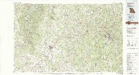 1982 Lebanon1983 Print · USGSThe Missouri Ozarks are captured in the early eighties as Interstate 44 and the St Louis-San Francisco rail line link growing towns with the Fort Leonard Wood Military Reservation. Genealogists and historians can trace family-named sites like Flatwood Church and old post offices at Sleeper and Nebo.
 - 1982 Map of Leadmine, 1983 Print
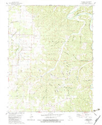 1982 Leadmine1983 Print · USGSDallas County in the early eighties reveals a river-centered landscape shaped by lead extraction and forestry. Genealogists and historians can trace community roots through Leadmine and country landmarks like Kirk Chapel, Pleasant Hill Ch, and the Rambo Mine.
 - 2012 Map of Leadmine, 2012 Print
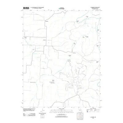 2012 Leadmine2012 Print · USGSThe Niangua River valley in Dallas County is shown here in the early twenty-first century, marked by a legacy of rural industry. Genealogists and historians can trace family sites at Kirk Cemetery or explore the origins of place names like Leadmine, Smelter Hollow, and Herrick Ford.
 - 2015 Map of Leadmine, 2015 Print
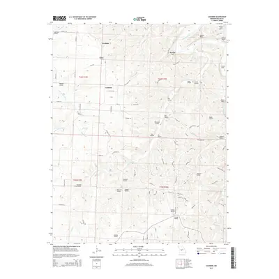 2015 Leadmine2015 Print · USGSMissouri's northern Dallas County hills are meticulously detailed in this recent survey, showing the landscape around the Niangua River and Little Niangua River. Researchers can trace the legacy of local industry and community through sites like Leadmine, Smelter Hollow, and Kirk Cemetery.
 - 2017 Map of Leadmine, 2017 Print
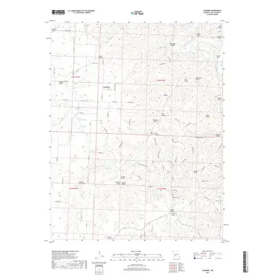 2017 Leadmine2017 Print · USGSThe Leadmine area of Dallas County is shown here during a period of modern residential development atop its river bluffs. Researchers can locate the historic Kirk Cem and trace the paths of the Niangua River and Little Niangua River.
 - 2021 Map of Leadmine, 2021 Print
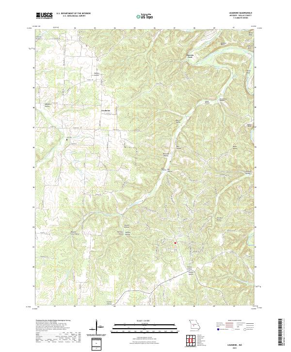 2021 Leadmine2021 Print · USGSDallas County in the 2020s remains defined by its winding river valleys and small rural hubs. You can trace the proximity of Leadmine to several prominent riverside landmarks including Herrick Ford, Berry Bluff, and the historic Kirk Cem.
End of results
Showing maps 1-11 of 11
Top cities near Herrick Ford
- Lebanon historical maps
- Camdenton historical maps
- Buffalo historical maps
- Linn Creek historical maps
- Macks Creek historical maps
- Louisburg historical maps
Frequently asked questions
- What are the different types of historical maps available for Herrick Ford?
- What is the oldest map of Herrick Ford?
- Where can I purchase historical maps of Herrick Ford for my home or office?
- Where can I download high-res historical maps of Herrick Ford?
- Are there historical topographic maps available for Herrick Ford?
- Is there historical aerial imagery available for Herrick Ford?
- Where are historical maps of Herrick Ford sourced from?