Old Maps of Cypress, Missouri for Genealogy
Trace your family roots with 13 historic maps of Cypress. These high-res maps reveal old neighborhoods, homesites, landmarks, and streets — helping you uncover where your ancestors lived and how the area evolved over time.
- Explore historic neighborhoods: Identify where your relatives may have lived in the 1800s or 1900s.
- Compare maps over time: Trace the changes in streets, buildings, and landmarks for multi-generational research.
- Perfect for genealogy & ancestry research: Used by family historians and researchers to map out lineage and migration.
These maps are an incredible resource for exploring your personal connection to Cypress's past.
Cypress, MO maps
(13)- 1925 Map of Pattonsburg
 1925 Pattonsburg1925 Print · USGSDaviess and Gentry counties are shown here in the mid-1920s as a thriving rail and river landscape. Researchers can trace the paths of the Wabash railroad through Pattonsburg or locate rural landmarks like Wesley Chapel and the Everly School.3 unique versions available
 - 1944 Map of Pattonsburg, 1977 Print
 1944 Pattonsburg1977 Print · USGSNorthwest Missouri in the 1940s is defined here by the winding Grand River and the busy WABASH rail line. Genealogists can locate family landmarks like Savage Cem, the Coffey P O and Sta, and rural centers such as Mitchellville.2 unique versions available
 - 1946 Map of Pattonsburg
 1946 Pattonsburg1946 Print · USGSNorthwest Missouri's river valleys and rail lines are captured here in the mid-1940s, showing a landscape defined by small-scale agriculture and close-knit rural communities. Genealogists can locate numerous local institutions like Virginia Ridge Sch, Pattonsburg, and the Crab Orchard Cem.
 - 1948 Map of Pattonsburg
 1948 Pattonsburg1948 Print · USGSDaviess and Gentry counties are shown here just after the war, featuring the winding Grand River and the Wabash rail line. Researchers can locate many former rural landmarks, including Rice Town Sch, Mooney Bridge, and Salem Coffey P O and Sta.2 unique versions available
 - 1955 Map of Nebraska City, 1967 Print
 1955 Nebraska City1967 Print · USGSThe four-state region surrounding the Missouri River valley appears here in the mid-1950s, a landscape of rail-dependent market towns and rural school districts. Genealogists can locate family landmarks like the Rock Bluff School, St Oswald Church, and the Clarinda State Hospital.3 unique versions available
 - 1957 Map of Nebraska City
 1957 Nebraska City1957 Print · USGSThe four-state junction of Nebraska, Iowa, Missouri, and Kansas comes alive in this mid-fifties survey of the Missouri River valley. Genealogists and historians can trace the rail-and-road networks connecting Nebraska City, Maryville, and the Squaw Creek National Wildlife Refuge.
 - 1958 Map of Nebraska City
 1958 Nebraska City1958 Print · USGSThe Missouri River Valley and its fertile four-state borderlands are captured here during the mid-century expansion of the regional highway and rail networks. Genealogists can trace family roots through numerous rural landmarks like Moulton School, Shady Grove Church, and the Clarinda State Hospital.
 - 1984 Map of Coffey, 1985 Print
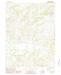 1984 Coffey1985 Print · USGSDaviess County in the early eighties centers on the river bends and creek confluences near the village of Coffey. Researchers can trace the winding course of the Grand River or locate local landmarks like the Sewage Lagoons and Hickory Creek.
 - 1986 Map of Maryville
 1986 Maryville1986 Print · USGSNorthwest Missouri's agricultural heartland is documented here in the mid-1980s, from the campus at Northwest Missouri State University to the Grand River valley. Genealogists can trace family footprints across dozens of local burial grounds like Alanthus Grove Cem and Brooklyn Cem.2 unique versions available
 - 2011 Map of Coffey, 2011 Print
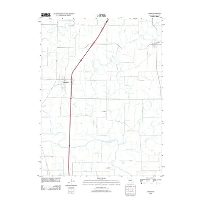 2011 Coffey2011 Print · USGSDaviess County’s rural landscape is captured here in the early twenty-first century as modern highways cut through traditional farming country. Researchers can locate the Waters Cemetery, trace the Grand River valley, and explore the layouts of Pattonsburg and Coffey.
 - 2014 Map of Coffey, 2014 Print
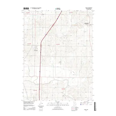 2014 Coffey2014 Print · USGSDaviess County, Missouri, is shown here in the early twenty-first century, a landscape defined by the winding Grand River and rural townships. Genealogists can locate Waters Cemetery or trace the historical site of the Salem Coffey P O and Station.
 - 2017 Map of Coffey, 2017 Print
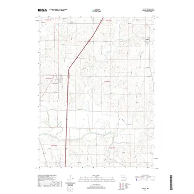 2017 Coffey2017 Print · USGSDaviess County settlement and the winding Grand River are captured in this recent survey. Local researchers can trace family landmarks like Waters Cem and the Mooney Bridge or explore the rural surroundings of Pattonsburg and Coffey.
 - 2021 Map of Coffey, 2021 Print
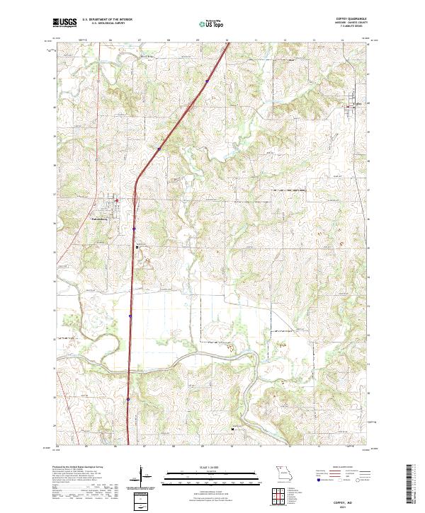 2021 Coffey2021 Print · USGSThe rural landscape of Daviess County in the early twenty-first century is defined by its small towns and intricate river valleys. Researchers can trace the local geography around Pattonsburg and Coffey, or locate family sites near Bethel Cem and Waters Cem.
End of results
Showing maps 1-13 of 13
Top cities near Cypress
- Bethany historical maps
- Gallatin historical maps
- New Hampton historical maps
- Pattonsburg historical maps
- Winston historical maps
- Altamont historical maps
See more
Frequently asked questions
- What are the different types of historical maps available for Cypress?
- What is the oldest map of Cypress?
- Where can I purchase historical maps of Cypress for my home or office?
- Where can I download high-res historical maps of Cypress?
- Are there historical topographic maps available for Cypress?
- Is there historical aerial imagery available for Cypress?
- Where are historical maps of Cypress sourced from?