Old Maps of Anaconda, Missouri for Genealogy
Trace your family roots with 14 historic maps of Anaconda. These high-res maps reveal old neighborhoods, homesites, landmarks, and streets — helping you uncover where your ancestors lived and how the area evolved over time.
- Explore historic neighborhoods: Identify where your relatives may have lived in the 1800s or 1900s.
- Compare maps over time: Trace the changes in streets, buildings, and landmarks for multi-generational research.
- Perfect for genealogy & ancestry research: Used by family historians and researchers to map out lineage and migration.
These maps are an incredible resource for exploring your personal connection to Anaconda's past.
Anaconda, MO maps
(14)- 1903 Map of Sullivan
 1903 Sullivan1903 Print · USGSFranklin and Gasconade counties are captured here at the close of the nineteenth century, as the St. Louis and San Francisco railroad spurred growth in timber and mining. Genealogists can trace early homesteads and river crossings like Hughes Ford, Spring Bluff, and Anthonies Mill.3 unique versions available
 - 1946 Map of Union, 1958 Print
 1946 Union1958 Print · USGSFranklin County just after the war shows a landscape of river-valley settlements and rural school districts. Genealogists and researchers can trace family landmarks like Moser Mill, locate the Old Acid Mine, or find early sites such as Benson Tourist City and Morrellton PO.2 unique versions available
 - 1948 Map of Union
 1948 Union1948 Print · USGSFranklin County in the late nineteen-forties centers on the river bends of the Meramec and Bourbeuse. Local historians can trace old homesteads via the Moser Mill, the Old Acid Mine, and numerous fords like Smith Ford.
 - 1949 Map of Saint Louis
 1949 Saint Louis1949 Print · USGSGreater St. Louis and its surrounding river valleys are captured here just after the war, showing the metropolitan core and the rural Ozark fringe. Researchers can trace the sprawling rail network of the Wabash RR or locate landmarks like Meramec Caverns Airport and Scott Air Force Base.2 unique versions available
 - 1962 Map of St. Louis
 1962 St. Louis1962 Print · USGSThe mid-century gateway to the west shows the metropolitan expansion of St Louis alongside its critical river confluences. Genealogists and historians can trace the rail corridors of the Missouri Pacific RR and settlements from Fulton to De Soto.
 - 1963 Map of St. Louis, 1970 Print
 1963 St. Louis1970 Print · USGSSt. Louis and its surrounding river valleys are captured here during the peak of mid-century suburban expansion and industrial activity. Trace the historic rail routes of the Norfolk and Western Ry or locate the St Louis Ordnance Plant and early stretches of US Highway 66.4 unique versions available
 - 1965 Map of Stanton, 1967 Print
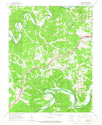 1965 Stanton1967 Print · USGSFranklin County's river-carved landscape is shown here in the mid-1960s, just as modern highways began to parallel the historic St Louis-San Francisco rail line. Researchers can trace local genealogy through sites like Gum Rock Hill Ch and explore the rugged environs of Meramec State Park.3 unique versions available
 - 1966 Map of St. Louis
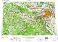 1966 St. Louis1966 Print · USGSThe St. Louis metropolitan area and its surrounding river valleys are captured here during the mid-sixties era of suburban growth and industrial strength. Genealogists and historians can trace the foundations of local communities through sites like Old Pioneer Cem, Parks College, and the Jefferson Barracks Military Reservation.
 - 1980 Map of Stanton, 1982 Print
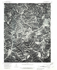 1980 Stanton1982 Print · USGSThe Meramec and Bourbeuse river valleys are captured in photographic detail during the early 1980s. Local researchers can trace the development of Stanton and Anaconda, or study the rural landscape around Twin Springs.
 - 1985 Map of Sullivan
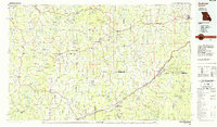 1985 Sullivan1985 Print · USGSMid-1980s Missouri comes into focus here as the Ozark landscape balances industrial mining with river recreation. Genealogists and historians can trace the St Louis-San Francisco RR through Sullivan and locate landmarks like Pea Ridge Mine or St Cloud Church.3 unique versions available
 - 2012 Map of Stanton, 2012 Print
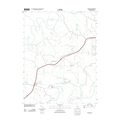 2012 Stanton2012 Print · USGSFranklin County in the early twenty-first century centers on the busy corridor between Stanton and Anaconda. Genealogists and historians can trace land use through local landmarks like Kamper Cemetery, Benson Tourist City, and the winding banks of the Meramec River.
 - 2015 Map of Stanton, 2015 Print
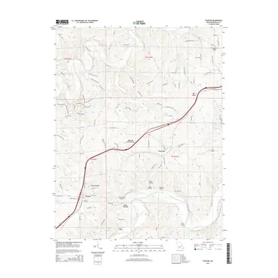 2015 Stanton2015 Print · USGSFranklin County's river valleys and interstate corridors are captured here in the mid-2010s. Researchers can locate family sites at Stanton Cemetery and trace the development of local centers like Anaconda and Charmwood.
 - 2017 Map of Stanton, 2017 Print
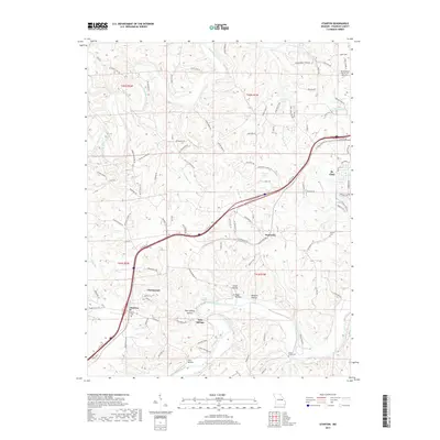 2017 Stanton2017 Print · USGSFranklin County's corridor between the Meramec and Bourbeuse rivers is captured here during the late 2010s. Genealogists and local historians can trace family locations through Green Mound Baptist Cem, Stanton Cem, and the old settlements of Anaconda and Stanton.
 - 2021 Map of Stanton, 2021 Print
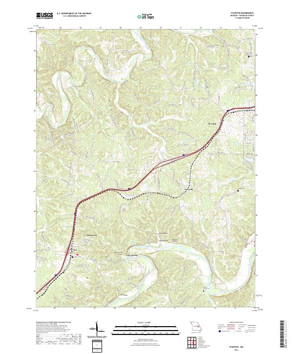 2021 Stanton2021 Print · USGSFranklin County's river valleys and interstate corridors are captured in this recent survey. Local researchers can trace family landmarks and burial sites including Stanton Cem, Kamper Cem, and the quiet rural community of Twin Springs.
End of results
Showing maps 1-14 of 14
Top cities near Anaconda
- Washington historical maps
- Union historical maps
- Sullivan historical maps
- Saint Clair historical maps
- Gray Summit historical maps
- Bourbon historical maps
See more
Frequently asked questions
- What are the different types of historical maps available for Anaconda?
- What is the oldest map of Anaconda?
- Where can I purchase historical maps of Anaconda for my home or office?
- Where can I download high-res historical maps of Anaconda?
- Are there historical topographic maps available for Anaconda?
- Is there historical aerial imagery available for Anaconda?
- Where are historical maps of Anaconda sourced from?