2000s (21st Century) Maps of Battlefield, Missouri
Explore 16 historic maps of Battlefield from the 2000s (21st Century). These maps offer a rare glimpse into what life looked like during the 2000s — showing old roads, neighborhoods, homes, and landmarks that have changed or disappeared over time.
Whether you're researching your family's past, planning a metal detecting trip, or studying how Battlefield's landscape evolved across the 2000s, these high-resolution maps are a powerful tool for exploring the history of this region.
- Focus on a specific era: All maps on this page are from the 2000s, giving you a focused view of this time period.
- See what’s changed: Compare century-old streets, trails, and buildings to today's modern landscape using overlays and satellite layers.
- Research with precision: Use these maps for genealogy, historical research, land use analysis, or educational projects.
- View, download, or print: Maps are fully viewable online in high resolution, and can be downloaded or printed for your own records.
Start exploring Battlefield's history through authentic maps from the 2000s. This is your window into the past.
Battlefield, MO maps
(16)- 2011 Map of Nixa, 2011 Print
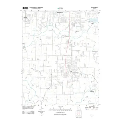 2011 Nixa2011 Print · USGSThe James River corridor south of Springfield is captured here at a moment of significant suburban expansion. Genealogists and historians can locate numerous family burial grounds like James Cemetery or Payne Cemetery, and trace old landmarks such as Nelson Mill Bridge.
 - 2011 Map of Brookline, 2011 Print
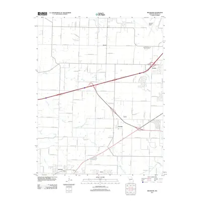 2011 Brookline2011 Print · USGSThe rural-to-suburban transition of Greene County is captured here in the early 21st century. Genealogists can trace family landmarks like Evergreen Cemetery and Harrington Cemetery or the original rail and road layouts at Brookline and Elwood.
 - 2011 Map of Republic, 2011 Print
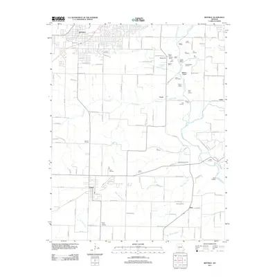 2011 Republic2011 Print · USGSMissouri's Civil War history and rural heritage are preserved here in the early twenty-first century. Genealogists and historians can locate family cemeteries like Lindsey Cemetery and significant battlefield markers including Bloody Hill and the Ray House.
 - 2011 Map of Springfield, 2011 Print
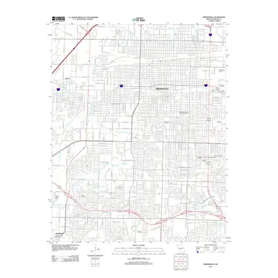 2011 Springfield2011 Print · USGSSpringfield at the start of the 2010s shows a thriving regional hub centered on its historic downtown and university campus. Researchers can trace local heritage through numerous sites like Payne Cemetery, the Downtown Airport, and Chadwick Junction.
 - 2015 Map of Nixa, 2015 Print
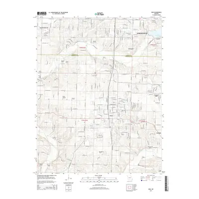 2015 Nixa2015 Print · USGSThe northern Ozarks suburbs south of Springfield come into focus during this period of growth between the Greene and Christian county lines. Genealogists can trace family landmarks and local burial sites like McConnell Cemetery, James Cemetery, and Nokes Cemetery.
 - 2015 Map of Brookline, 2015 Print
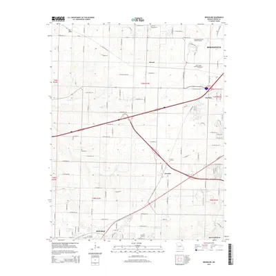 2015 Brookline2015 Print · USGSThe western edge of the Springfield metro area comes into focus here during a period of significant suburban growth. Researchers can trace the development of Republic and Battlefield or locate family sites near Brookline Cemetery and Elwood.
 - 2015 Map of Republic, 2015 Print
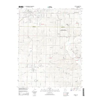 2015 Republic2015 Print · USGSSouthwest Missouri in the early twenty-first century is captured here as the growing residential streets of Republic and Clever meet the preserved terrain of the Civil War. Researchers can locate numerous family-named landmarks and burial sites like Edgar Cemetery, Hale Cemetery, and Gibson Cemetery.
 - 2015 Map of Springfield, 2015 Print
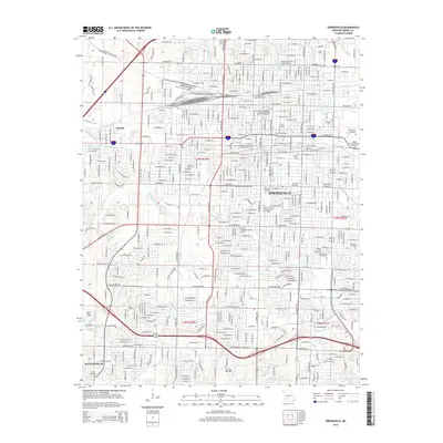 2015 Springfield2015 Print · USGSSpringfield and the community of Battlefield are shown in the mid-2010s during a period of sustained urban development. Researchers can trace historic burial sites like Hazelwood Cemetery and the grounds of Missouri State Univ or the Frisco Highline Trl.
 - 2017 Map of Springfield, 2017 Print
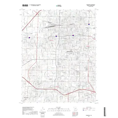 2017 Springfield2017 Print · USGSSpringfield and its surrounding suburbs like Nichols and Battlefield are captured here during a period of significant urban density. Genealogists can locate family sites across numerous grounds including Hazelwood Cem, Maple Park Cem, and Yarbrough Cem.
 - 2017 Map of Nixa, 2017 Print
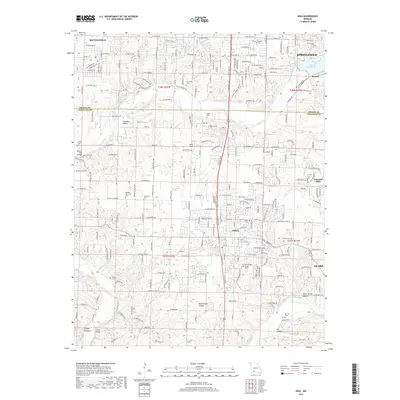 2017 Nixa2017 Print · USGSThe southern Springfield metropolitan area and northern Christian County are captured in this recent survey during a period of significant suburban growth. Genealogists can locate several local burial sites like Bledsoe Memorial Cem and Nokes Cem or trace the winding James River.
 - 2017 Map of Republic, 2017 Print
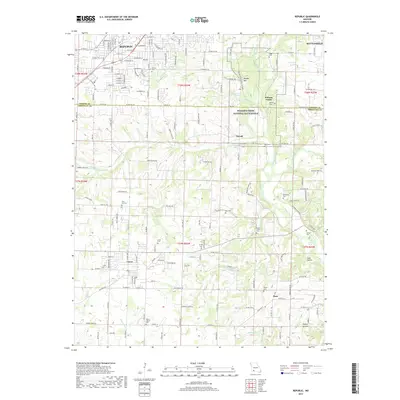 2017 Republic2017 Print · USGSThe northern Ozarks landscape south of Springfield is defined here by the preserved grounds of Wilson's Creek National Battlefield and the growing town of Republic. Genealogists and local historians can trace early settlement patterns through numerous rural burial sites like Mount Carmel Cem and Manley Cem.
 - 2017 Map of Brookline, 2017 Print
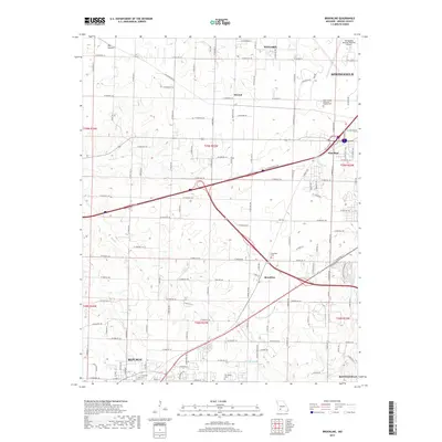 2017 Brookline2017 Print · USGSThe southwestern edge of the Springfield metro area is captured here during a period of steady expansion. You can trace the roots of local families at Brookline Cem or Evergreen Cem, and locate the small communities of Elwood and Haseltine.
 - 2021 Map of Republic, 2021 Print
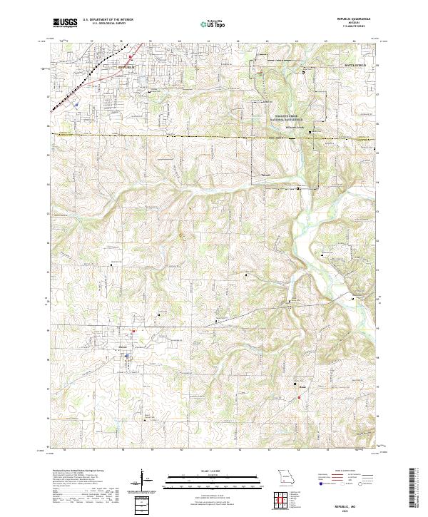 2021 Republic2021 Print · USGSSouthwest of Springfield in the early twenty-first century, this area balances modern growth with deep Civil War history. Researchers can trace family plots at Wise Hill Cem or explore the preserved grounds of Wilson's Creek National Battlefield.
 - 2021 Map of Brookline, 2021 Print
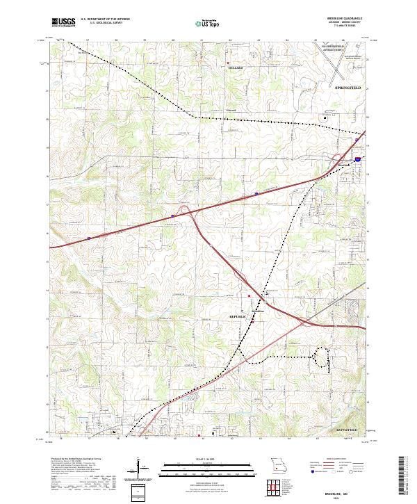 2021 Brookline2021 Print · USGSGreene County communities southwest of Springfield are captured here during a period of rapid suburban and industrial expansion. Researchers can locate family landmarks such as Brookline Cemetery and Harrington Cemetery or trace the early paths of the Sac River and Dailey Spring.
 - 2021 Map of Nixa, 2021 Print
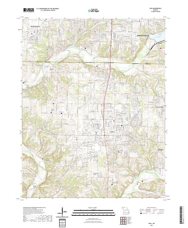 2021 Nixa2021 Print · USGSMissouri's Christian and Greene counties are seen here as residential growth expands between the river valleys during the early twenty-first century. Researchers can trace local heritage through numerous burial sites and landmarks like McLean Cem, Frazier Bridge, and Nelson Mill Bridge.
 - 2021 Map of Springfield, 2021 Print
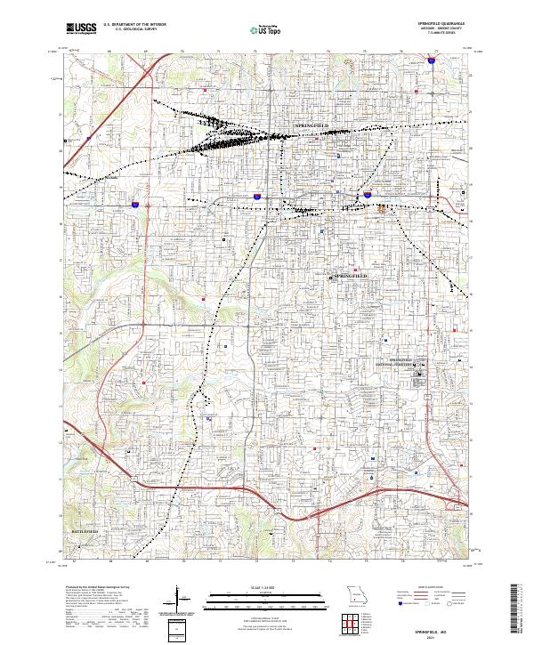 2021 Springfield2021 Print · USGSSpringfield and its southwestern suburbs are shown in 2021 as a major hub of industry, education, and historical preservation. Researchers can locate family sites and landmarks like Springfield National Cemetery, Nichols, and Payne Cemetery.
End of results
Showing maps 1-16 of 16
Top cities near Battlefield
- Springfield historical maps
- Nixa historical maps
- Ozark historical maps
- Republic historical maps
- Willard historical maps
- Strafford historical maps
See more
Frequently asked questions
- What are the different types of historical maps available for Battlefield?
- What is the oldest map of Battlefield?
- Where can I purchase historical maps of Battlefield for my home or office?
- Where can I download high-res historical maps of Battlefield?
- Are there historical topographic maps available for Battlefield?
- Is there historical aerial imagery available for Battlefield?
- Where are historical maps of Battlefield sourced from?