Old Maps of Republic, Missouri for Hiking & Exploration
Hike through history with 26 historic maps of Republic. Explore old trails, ghost towns, and forgotten backroads — perfect for outdoor adventurers and local explorers.
- Rediscover forgotten places: Map out old mining camps, roads, and footpaths that no longer exist on modern maps.
- Layer with modern tools: Combine with LiDAR or satellite views to plan hikes through historical terrain.
- Made for exploration: Popular among hikers, overlanders, and local history lovers.
Use these maps to find adventure and explore the hidden past of Republic.
Republic, MO maps
(26)- 1884 Map of Springfield
 1884 Springfield1884 Print · USGSSpringfield emerged as a critical railroad junction in Southwest Missouri during the 1880s. Local researchers can trace the early layouts of Springfield, Willard, and Republic as they developed along the St. Louis and San Francisco Railroad.
 - 1886 Map of Greenfield
 1886 Greenfield1886 Print · USGSSouthwest Missouri was undergoing a rail-driven transformation in the 1880s, as new lines connected established county seats to outlying farm towns. Genealogists can trace family roots through numerous small settlements like Paris Springs, Dadeville, and the thriving rail hub at Ash Grove.4 unique versions available
 - 1886 Map of Springfield, 1896 Print
 1886 Springfield1896 Print · USGSSouthwest Missouri thrived as a regional rail hub in the 1880s, centering on the growth of Greene and Christian counties. Researchers can trace early rural settlements and rail stops like Springfield, Fair Grove, and Republic before the turn of the century.5 unique versions available
 - 1888 Map of Greenfield, 1898 Print
 1888 Greenfield1898 Print · USGSSouthwest Missouri thrived as a budding rail and agricultural hub in the 1880s. Local researchers can trace the early footprints of Greenfield and Mount Vernon, alongside smaller settlements like Paris Springs and Everton.
 - 1919 Map of Halltown
 1919 Halltown1919 Print · USGSThe Missouri Ozarks are captured here during a time of dense rural settlement across Lawrence and Greene counties. Genealogists can locate dozens of country schools and churches, from Buck Prairie School to Mt Olive Church and Wade Chapel Cemetery.3 unique versions available
 - 1936 Map of Brookline
 1936 Brookline1936 Print · USGSGreene County in the mid-thirties shows a landscape of small farming communities organized around the railway and country schoolhouses. Genealogists can locate family landmarks like Mt Aetna Sch, Brookline Cem, and the rail stops at Haseltine Siding and Elwood.
 - 1954 Map of Springfield
 1954 Springfield1954 Print · USGSThe Missouri Ozarks are captured here during the post-war era, showing the expansion of Springfield and the surrounding river valleys. Genealogists and historians can trace local landmarks like Mount Comfort Cemetery and the Fort Leonard Wood military grounds.6 unique versions available
 - 1958 Map of Springfield
 1958 Springfield1958 Print · USGSThe Missouri Ozarks are captured during the mid-century era of growth, centered on the bustling hub of Springfield. Genealogists and historians can trace family roots through numerous landmarks like Ebenezer Church, Stockton Cem, and the various county courthouses.
 - 1959 Map of Springfield
 1959 Springfield1959 Print · USGSThe Missouri Ozarks are captured here during a decade of postwar growth and increasing highway connectivity. Researchers can trace the legacy of the St Louis-San Francisco RR and locate early sites in Springfield, Lebanon, and Mountain Grove.
 - 1960 Map of Brookline, 1961 Print
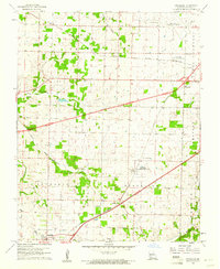 1960 Brookline1961 Print · USGSGreene County is captured during a period of infrastructure expansion in the early sixties as new highways were being built alongside established rail lines. Genealogists and local historians can locate several burial sites like Evergreen Cemetery and trace the original ST LOUIS SAN FRANCISCO rail route through Republic and Brookline.5 unique versions available
 - 1960 Map of Republic, 1961 Print
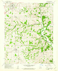 1960 Republic1961 Print · USGSSouthwest Missouri at the start of the 1960s reveals a landscape still deeply connected to its Civil War history and rural roots. Genealogists and historians can trace family locations through numerous sites like Wise Hill Cem, the historic Ray House, and the Wilson Creek Battlefield.4 unique versions available
 - 1969 Map of Billings, 1971 Print
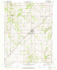 1969 Billings1971 Print · USGSThe Missouri prairie south of Springfield is captured here in the late sixties, centered on the rail junction at Billings. Genealogists and local historians can locate several rural burial grounds and churches, including St Peters Cem, Smart Cem, and Blades Chapel.2 unique versions available
 - 1979 Map of Republic, 1981 Print
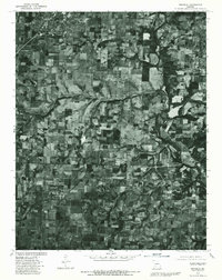 1979 Republic1981 Print · USGSGreene and Christian counties appear at a moment of rural transition in the late seventies. Family historians and researchers can trace land patterns around Republic, Clever, and the small settlement of Boaz near the winding James River.
 - 1982 Map of Springfield, 1983 Print
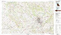 1982 Springfield1983 Print · USGSSpringfield and the surrounding Ozark plateau are captured in the early eighties as the region balanced urban growth with its agricultural roots. Genealogists and researchers can trace the locations of White Chapel, the State Sanatorium, and older rail stops like Brookline.
 - 2011 Map of Billings, 2011 Print
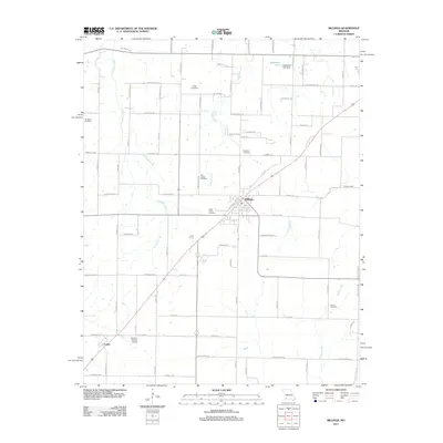 2011 Billings2011 Print · USGSThe Missouri countryside around Billings is documented here during a period of modern agricultural stability. Genealogists and historians can trace family roots through numerous local sites including Laney Cemetery, Saint Peters Cemetery, and the community of Logan.
 - 2011 Map of Brookline, 2011 Print
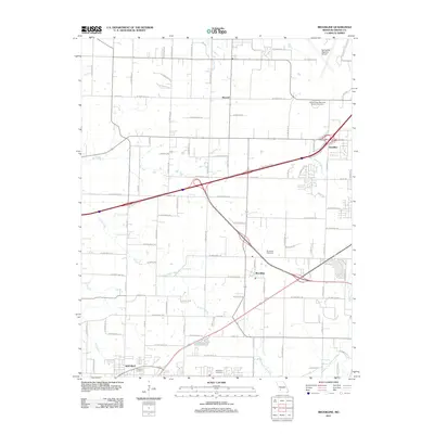 2011 Brookline2011 Print · USGSThe rural-to-suburban transition of Greene County is captured here in the early 21st century. Genealogists can trace family landmarks like Evergreen Cemetery and Harrington Cemetery or the original rail and road layouts at Brookline and Elwood.
 - 2011 Map of Republic, 2011 Print
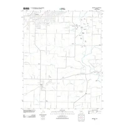 2011 Republic2011 Print · USGSMissouri's Civil War history and rural heritage are preserved here in the early twenty-first century. Genealogists and historians can locate family cemeteries like Lindsey Cemetery and significant battlefield markers including Bloody Hill and the Ray House.
 - 2015 Map of Billings, 2015 Print
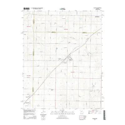 2015 Billings2015 Print · USGSThe rolling hills of southwest Missouri appear in detail at a time when the BNSF Railway still connects the rural communities of Billings and Logan. Genealogists can trace family roots through several well-documented sites like Brashers Cemetery and Laney Cemetery.
 - 2015 Map of Brookline, 2015 Print
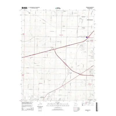 2015 Brookline2015 Print · USGSThe western edge of the Springfield metro area comes into focus here during a period of significant suburban growth. Researchers can trace the development of Republic and Battlefield or locate family sites near Brookline Cemetery and Elwood.
 - 2015 Map of Republic, 2015 Print
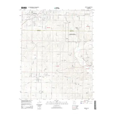 2015 Republic2015 Print · USGSSouthwest Missouri in the early twenty-first century is captured here as the growing residential streets of Republic and Clever meet the preserved terrain of the Civil War. Researchers can locate numerous family-named landmarks and burial sites like Edgar Cemetery, Hale Cemetery, and Gibson Cemetery.
 - 2017 Map of Billings, 2017 Print
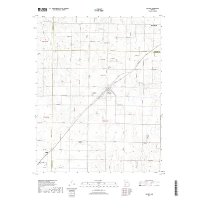 2017 Billings2017 Print · USGSThe rural borderlands of Lawrence and Greene counties are captured here in the late twenty-teens, showing the expansion of Republic and Marionville. Family historians can locate several burial grounds, including Saint Joseph Cem, Laney Cem, and Smart Cem.
 - 2017 Map of Republic, 2017 Print
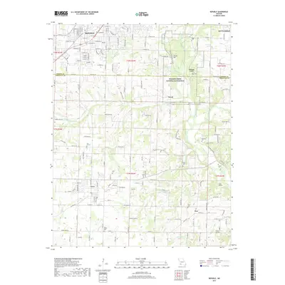 2017 Republic2017 Print · USGSThe northern Ozarks landscape south of Springfield is defined here by the preserved grounds of Wilson's Creek National Battlefield and the growing town of Republic. Genealogists and local historians can trace early settlement patterns through numerous rural burial sites like Mount Carmel Cem and Manley Cem.
 - 2017 Map of Brookline, 2017 Print
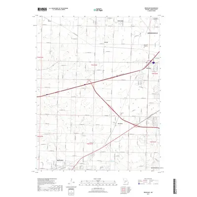 2017 Brookline2017 Print · USGSThe southwestern edge of the Springfield metro area is captured here during a period of steady expansion. You can trace the roots of local families at Brookline Cem or Evergreen Cem, and locate the small communities of Elwood and Haseltine.
 - 2021 Map of Republic, 2021 Print
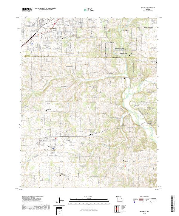 2021 Republic2021 Print · USGSSouthwest of Springfield in the early twenty-first century, this area balances modern growth with deep Civil War history. Researchers can trace family plots at Wise Hill Cem or explore the preserved grounds of Wilson's Creek National Battlefield.
 - 2021 Map of Billings, 2021 Print
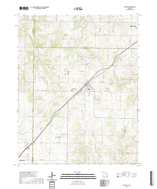 2021 Billings2021 Print · USGSThe rural landscapes of Christian, Greene, and Lawrence counties come together here during a period of steady growth. Genealogists can trace family connections through numerous local burial sites including Blades Chapel Cem, Laney Cem, and Saint Joseph's Cem.
Showing maps 1-25 of 26
Top cities near Republic
- Springfield historical maps
- Nixa historical maps
- Ozark historical maps
- Willard historical maps
- Battlefield historical maps
- Marionville historical maps
See more
Top neighborhoods of Republic
Frequently asked questions
- What are the different types of historical maps available for Republic?
- What is the oldest map of Republic?
- Where can I purchase historical maps of Republic for my home or office?
- Where can I download high-res historical maps of Republic?
- Are there historical topographic maps available for Republic?
- Is there historical aerial imagery available for Republic?
- Where are historical maps of Republic sourced from?