Old Maps of Park Central Square, Springfield for Genealogy
Trace your family roots with 13 historic maps of Park Central Square. These high-res maps reveal old neighborhoods, homesites, landmarks, and streets — helping you uncover where your ancestors lived and how the area evolved over time.
- Explore historic neighborhoods: Identify where your relatives may have lived in the 1800s or 1900s.
- Compare maps over time: Trace the changes in streets, buildings, and landmarks for multi-generational research.
- Perfect for genealogy & ancestry research: Used by family historians and researchers to map out lineage and migration.
These maps are an incredible resource for exploring your personal connection to Park Central Square's past.
Park Central Square, Springfield maps
(13)- 1884 Map of Springfield
 1884 Springfield1884 Print · USGSSpringfield emerged as a critical railroad junction in Southwest Missouri during the 1880s. Local researchers can trace the early layouts of Springfield, Willard, and Republic as they developed along the St. Louis and San Francisco Railroad.
 - 1886 Map of Springfield, 1896 Print
 1886 Springfield1896 Print · USGSSouthwest Missouri thrived as a regional rail hub in the 1880s, centering on the growth of Greene and Christian counties. Researchers can trace early rural settlements and rail stops like Springfield, Fair Grove, and Republic before the turn of the century.5 unique versions available
 - 1935 Map of Springfield
 1935 Springfield1935 Print · USGSSpringfield was a bustling rail and institutional center in the mid-1930s. Researchers can trace the massive St L-S F RR Shops, the State Teachers College, and numerous rural schoolhouses like Kickapoo Sch.2 unique versions available
 - 1954 Map of Springfield
 1954 Springfield1954 Print · USGSThe Missouri Ozarks are captured here during the post-war era, showing the expansion of Springfield and the surrounding river valleys. Genealogists and historians can trace local landmarks like Mount Comfort Cemetery and the Fort Leonard Wood military grounds.6 unique versions available
 - 1958 Map of Springfield
 1958 Springfield1958 Print · USGSThe Missouri Ozarks are captured during the mid-century era of growth, centered on the bustling hub of Springfield. Genealogists and historians can trace family roots through numerous landmarks like Ebenezer Church, Stockton Cem, and the various county courthouses.
 - 1959 Map of Springfield
 1959 Springfield1959 Print · USGSThe Missouri Ozarks are captured here during a decade of postwar growth and increasing highway connectivity. Researchers can trace the legacy of the St Louis-San Francisco RR and locate early sites in Springfield, Lebanon, and Mountain Grove.
 - 1960 Map of Springfield, 1961 Print
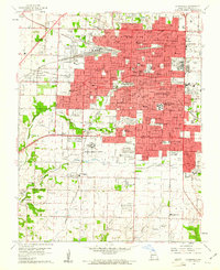 1960 Springfield1961 Print · USGSSpringfield and its surrounding Greene County townships appear in the early sixties during a season of post-war growth. Researchers can trace institutional roots at Southwest Missouri State College, explore the FEDERAL MEDICAL CENTER, or locate family sites near Hazelwood Cemetery and Bethany Ch.4 unique versions available
 - 1982 Map of Springfield, 1983 Print
 1982 Springfield1983 Print · USGSSpringfield and the surrounding Ozark plateau are captured in the early eighties as the region balanced urban growth with its agricultural roots. Genealogists and researchers can trace the locations of White Chapel, the State Sanatorium, and older rail stops like Brookline.
 - 1996 Map of Springfield, 2000 Print
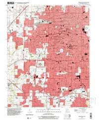 1996 Springfield2000 Print · USGSSpringfield and Greene County at the turn of the millennium show a city shaped by major institutions and growing suburbs. Researchers can trace the grounds of Southwest Missouri State University, Springfield National Cem, and the historic community of Nichols.
 - 2011 Map of Springfield, 2011 Print
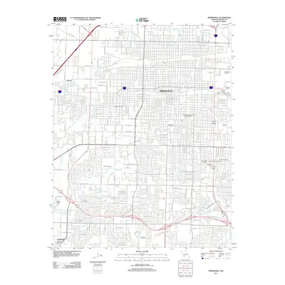 2011 Springfield2011 Print · USGSSpringfield at the start of the 2010s shows a thriving regional hub centered on its historic downtown and university campus. Researchers can trace local heritage through numerous sites like Payne Cemetery, the Downtown Airport, and Chadwick Junction.
 - 2015 Map of Springfield, 2015 Print
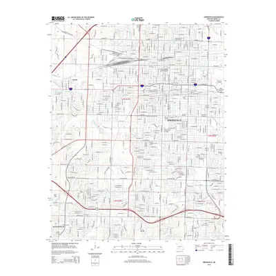 2015 Springfield2015 Print · USGSSpringfield and the community of Battlefield are shown in the mid-2010s during a period of sustained urban development. Researchers can trace historic burial sites like Hazelwood Cemetery and the grounds of Missouri State Univ or the Frisco Highline Trl.
 - 2017 Map of Springfield, 2017 Print
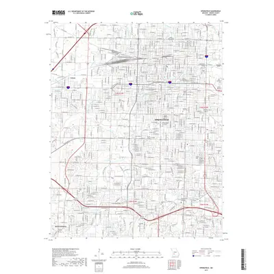 2017 Springfield2017 Print · USGSSpringfield and its surrounding suburbs like Nichols and Battlefield are captured here during a period of significant urban density. Genealogists can locate family sites across numerous grounds including Hazelwood Cem, Maple Park Cem, and Yarbrough Cem.
 - 2021 Map of Springfield, 2021 Print
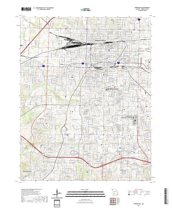 2021 Springfield2021 Print · USGSSpringfield and its southwestern suburbs are shown in 2021 as a major hub of industry, education, and historical preservation. Researchers can locate family sites and landmarks like Springfield National Cemetery, Nichols, and Payne Cemetery.
End of results
Showing maps 1-13 of 13
Frequently asked questions
- What are the different types of historical maps available for Park Central Square?
- What is the oldest map of Park Central Square?
- Where can I purchase historical maps of Park Central Square for my home or office?
- Where can I download high-res historical maps of Park Central Square?
- Are there historical topographic maps available for Park Central Square?
- Is there historical aerial imagery available for Park Central Square?
- Where are historical maps of Park Central Square sourced from?