2000s (21st Century) Maps of Holden, Missouri
Explore 8 historic maps of Holden from the 2000s (21st Century). These maps offer a rare glimpse into what life looked like during the 2000s — showing old roads, neighborhoods, homes, and landmarks that have changed or disappeared over time.
Whether you're researching your family's past, planning a metal detecting trip, or studying how Holden's landscape evolved across the 2000s, these high-resolution maps are a powerful tool for exploring the history of this region.
- Focus on a specific era: All maps on this page are from the 2000s, giving you a focused view of this time period.
- See what’s changed: Compare century-old streets, trails, and buildings to today's modern landscape using overlays and satellite layers.
- Research with precision: Use these maps for genealogy, historical research, land use analysis, or educational projects.
- View, download, or print: Maps are fully viewable online in high resolution, and can be downloaded or printed for your own records.
Start exploring Holden's history through authentic maps from the 2000s. This is your window into the past.
Holden, MO maps
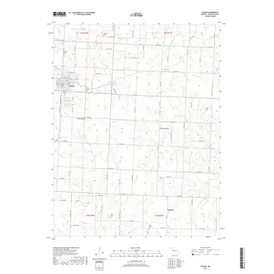
(8)- 2011 Map of Holden, 2011 Print
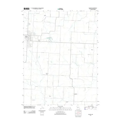 2011 Holden2011 Print · USGSCovers Holden, including Magnolia, Johnson County, and other nearby areas
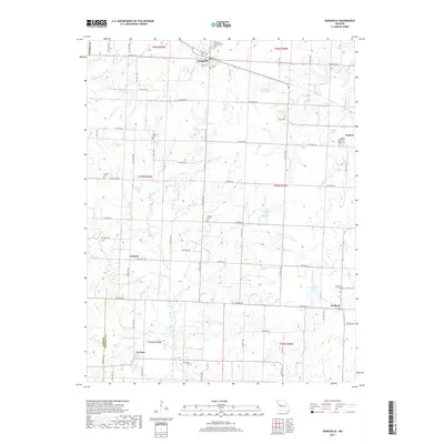
 - 2011 Map of Kingsville, 2011 Print
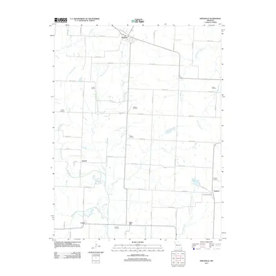 2011 Kingsville2011 Print · USGSCovers Holden, including Kingsville, Medford, and other nearby areas
 - 2014 Map of Kingsville, 2014 Print
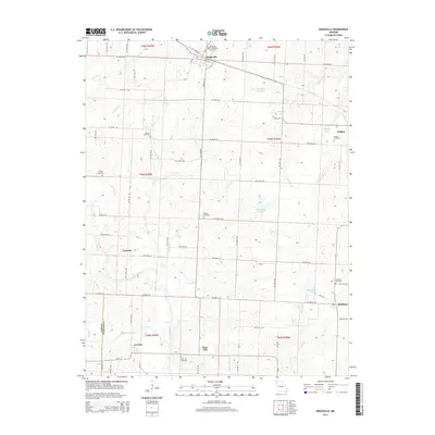 2014 Kingsville2014 Print · USGSCovers Holden, including Kingsville, Medford, and other nearby areas
 - 2014 Map of Holden, 2014 Print
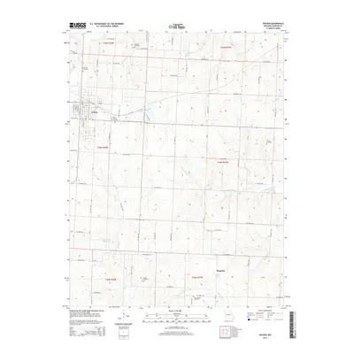 2014 Holden2014 Print · USGSCovers Holden, including Magnolia, Johnson County, and other nearby areas
 - 2017 Map of Holden, 2017 Print
 2017 Holden2017 Print · USGSCovers Holden, including Magnolia, Johnson County, and other nearby areas
 - 2017 Map of Kingsville, 2017 Print
 2017 Kingsville2017 Print · USGSCovers Holden, including Kingsville, Medford, and other nearby areas
 - 2021 Map of Holden, 2021 Print
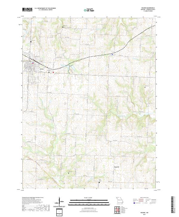 2021 Holden2021 Print · USGSJohnson County's agricultural heartland is captured here in the contemporary era, centered on the established township of Holden. Researchers can locate several distinct family and community burial grounds, including Fairview Cem, Ferguson Cem, and the southern settlement of Magnolia.
 - 2021 Map of Kingsville, 2021 Print
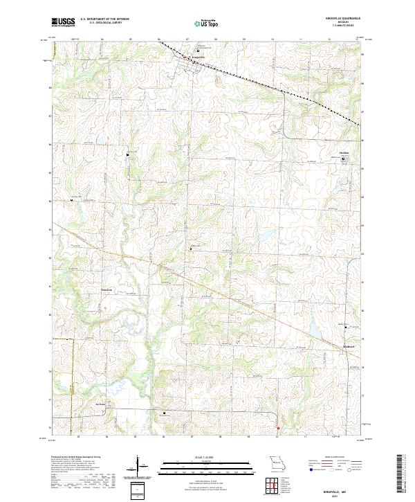 2021 Kingsville2021 Print · USGSThe rural landscape of Johnson and Cass counties comes into sharp focus here during the early twenty-first century. Genealogists and historians can trace family roots through several local burial sites, including Kingsville Consolidated Cemetery and Rose Hill Cemetery.
End of results
Showing maps 1-8 of 8
Top cities near Holden
- Lake Lotawana historical maps
- Garden City historical maps
- Lone Jack historical maps
- Creighton historical maps
- Chilhowee historical maps
- Kingsville historical maps
See more
Frequently asked questions
- What are the different types of historical maps available for Holden?
- What is the oldest map of Holden?
- Where can I purchase historical maps of Holden for my home or office?
- Where can I download high-res historical maps of Holden?
- Are there historical topographic maps available for Holden?
- Is there historical aerial imagery available for Holden?
- Where are historical maps of Holden sourced from?