2000s (21st Century) Maps of Joplin, Missouri
Explore 18 historic maps of Joplin from the 2000s (21st Century). These maps offer a rare glimpse into what life looked like during the 2000s — showing old roads, neighborhoods, homes, and landmarks that have changed or disappeared over time.
Whether you're researching your family's past, planning a metal detecting trip, or studying how Joplin's landscape evolved across the 2000s, these high-resolution maps are a powerful tool for exploring the history of this region.
- Focus on a specific era: All maps on this page are from the 2000s, giving you a focused view of this time period.
- See what’s changed: Compare century-old streets, trails, and buildings to today's modern landscape using overlays and satellite layers.
- Research with precision: Use these maps for genealogy, historical research, land use analysis, or educational projects.
- View, download, or print: Maps are fully viewable online in high resolution, and can be downloaded or printed for your own records.
Start exploring Joplin's history through authentic maps from the 2000s. This is your window into the past.
Joplin, MO maps
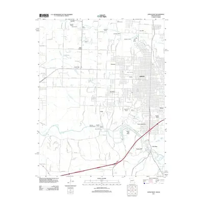
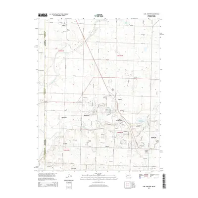
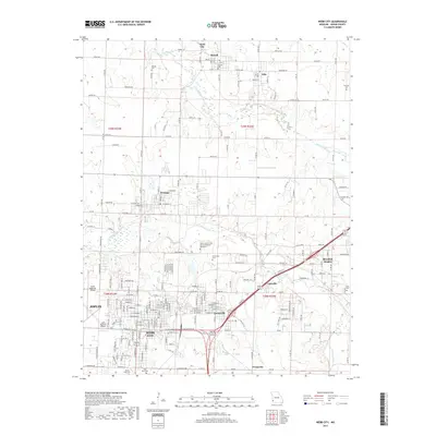
(18)- 2010 Map of Carl Junction, 2010 Print
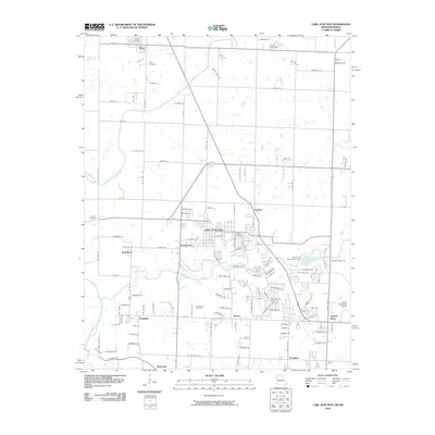 2010 Carl Junction2010 Print · USGSCovers Joplin, including Carl Junction, Airport Drive, and other nearby areas
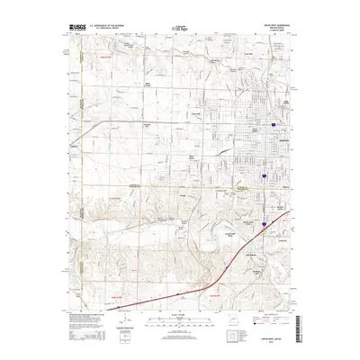
 - 2010 Map of Joplin West, 2010 Print
 2010 Joplin West2010 Print · USGSCovers Joplin, including Galena, Leawood, and other nearby areas
 - 2011 Map of Joplin East, 2011 Print
 2011 Joplin East2011 Print · USGSCovers Joplin, including Webb City, Duquesne, and other nearby areas
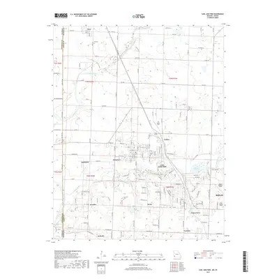
 - 2011 Map of Carl Junction, 2011 Print
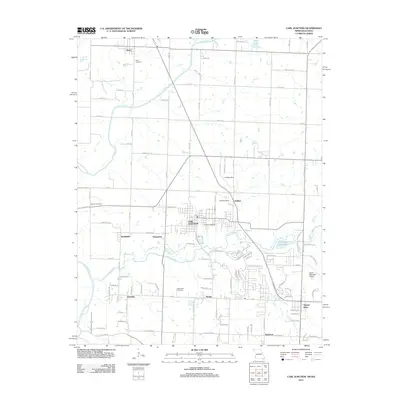 2011 Carl Junction2011 Print · USGSCovers Joplin, including Carl Junction, Airport Drive, and other nearby areas
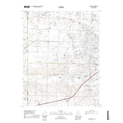
 - 2011 Map of Joplin West, 2011 Print
 2011 Joplin West2011 Print · USGSCovers Joplin, including Galena, Leawood, and other nearby areas
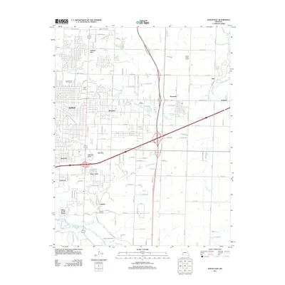
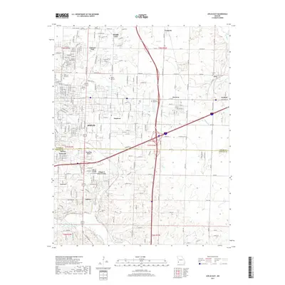
 - 2011 Map of Webb City, 2011 Print
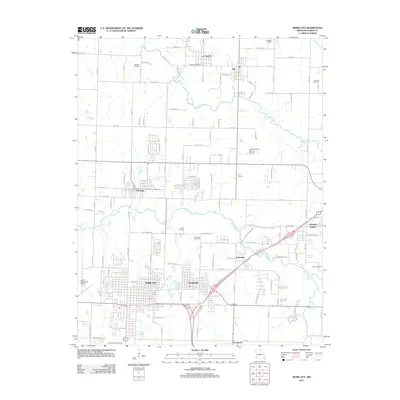 2011 Webb City2011 Print · USGSCovers Joplin, including Webb City, Oronogo, and other nearby areas
 - 2015 Map of Webb City, 2015 Print
 2015 Webb City2015 Print · USGSCovers Joplin, including Webb City, Oronogo, and other nearby areas
 - 2015 Map of Joplin East, 2015 Print
 2015 Joplin East2015 Print · USGSCovers Joplin, including Webb City, Duquesne, and other nearby areas
 - 2015 Map of Carl Junction, 2015 Print
 2015 Carl Junction2015 Print · USGSCovers Joplin, including Carl Junction, Airport Drive, and other nearby areas
 - 2015 Map of Joplin West, 2015 Print
 2015 Joplin West2015 Print · USGSCovers Joplin, including Galena, Leawood, and other nearby areas
 - 2017 Map of Joplin West, 2017 Print
 2017 Joplin West2017 Print · USGSCovers Joplin, including Galena, Leawood, and other nearby areas
 - 2017 Map of Carl Junction, 2017 Print
 2017 Carl Junction2017 Print · USGSCovers Joplin, including Carl Junction, Airport Drive, and other nearby areas
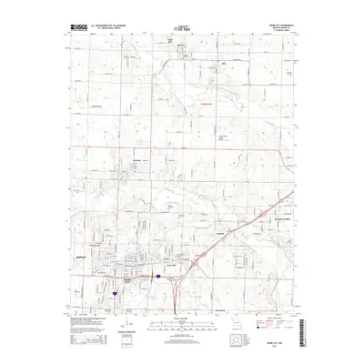
 - 2017 Map of Webb City, 2017 Print
 2017 Webb City2017 Print · USGSCovers Joplin, including Webb City, Oronogo, and other nearby areas
 - 2017 Map of Joplin East, 2017 Print
 2017 Joplin East2017 Print · USGSCovers Joplin, including Webb City, Duquesne, and other nearby areas
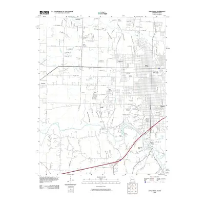
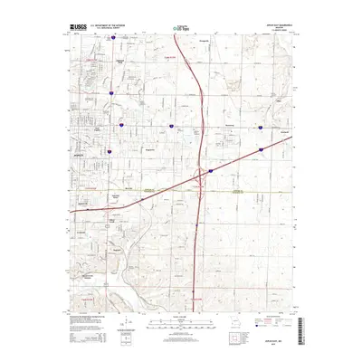
 - 2021 Map of Webb City, 2021 Print
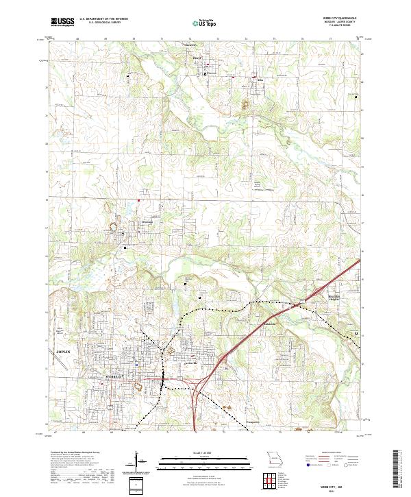 2021 Webb City2021 Print · USGSJasper County's historic mining and transit corridor comes into focus in this contemporary survey of the Webb City and Carterville area. Genealogists and local historians can trace the grounds of the Webb City Cem, Carterville Cem, and the path of Old 66 Blvd.
 - 2021 Map of Carl Junction, 2021 Print
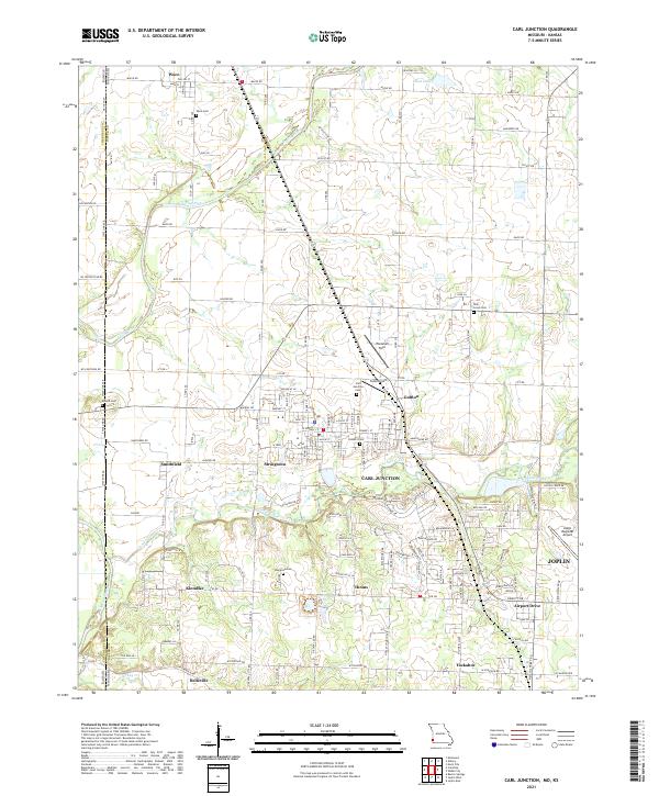 2021 Carl Junction2021 Print · USGSJasper County, Missouri, at the Kansas border appears here in the early twenty-first century, showing a landscape of river valleys and growing small towns. Researchers can locate numerous local burial sites like Waco Cem and Howard Cem or trace aviation hubs such as Cook Airport.
 - 2021 Map of Joplin West, 2021 Print
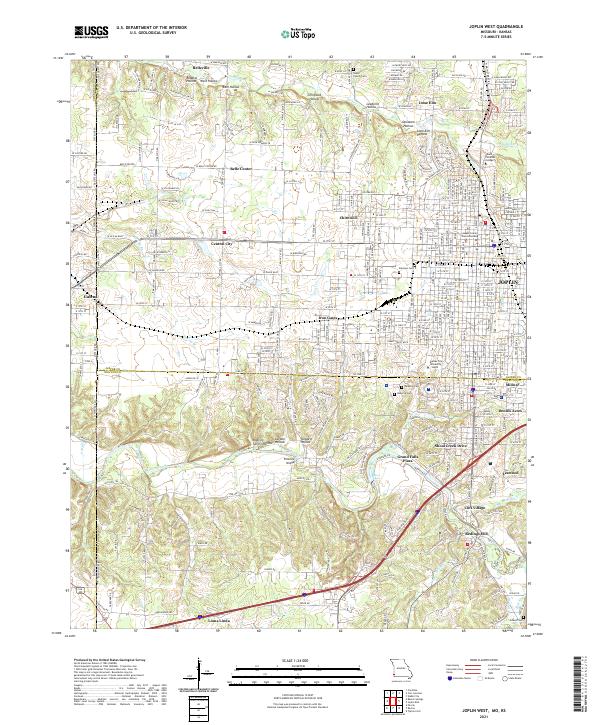 2021 Joplin West2021 Print · USGSJoplin and the Kansas borderlands appear in great detail during this period of 21st-century growth and institutional expansion. Researchers can trace the heritage of local mining hollows or locate the Jasper County Courts Building, Peace Church Cem, and Redings Mill.
 - 2021 Map of Joplin East, 2021 Print
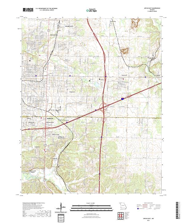 2021 Joplin East2021 Print · USGSThe Joplin area in the early 2020s shows a sophisticated blend of suburban growth and natural drainage. Researchers can trace family sites across Ozark Memorial Park Cem, the Village of Silver Creek, and the outskirts of Atlas.
End of results
Showing maps 1-18 of 18
Top cities near Joplin
- Carthage historical maps
- Neosho historical maps
- Webb City historical maps
- Carl Junction historical maps
- Baxter Springs historical maps
- Galena historical maps
See more
Top neighborhoods of Joplin
- Sunnyvale historical maps
- West Joplin historical maps
- East Joplin historical maps
- Gateway Drive historical maps
- Gregg historical maps
- Chitwood historical maps
See more
Frequently asked questions
- What are the different types of historical maps available for Joplin?
- What is the oldest map of Joplin?
- Where can I purchase historical maps of Joplin for my home or office?
- Where can I download high-res historical maps of Joplin?
- Are there historical topographic maps available for Joplin?
- Is there historical aerial imagery available for Joplin?
- Where are historical maps of Joplin sourced from?