Old Maps of Joplin, Missouri for Academic Research
Study the evolution of Joplin with 35 high-resolution historic maps. Whether you're teaching, researching, or modeling changes in land use, these maps provide essential visual documentation of urban, environmental, and geographic change.
- Analyze long-term change: Track patterns in development, transportation, and natural features.
- Ideal for environmental or urban studies: Support academic projects with primary historical map data.
- Use in the classroom or lab: Educators and researchers rely on these maps to bring historical context to life.
These maps are a powerful tool for teaching, research, and visualizing how Joplin has changed over the decades.
Joplin, MO maps
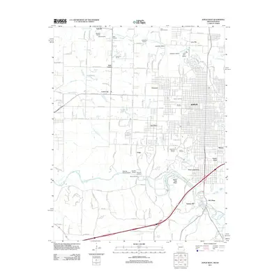
(35)- 1886 Map of Joplin
 1886 Joplin1886 Print · USGSThe Missouri-Kansas borderlands were rapidly developing in the late nineteenth century as rail lines and river valleys shaped new settlements. Researchers can trace the early footprints of towns like Columbus and Pittsburg or locate vanished points like Georgia City and Litchfield.
 - 1886 Map of Carthage
 1886 Carthage1886 Print · USGSJasper and Barton Counties thrive during the mid-1880s as the railroad era transforms the Missouri landscape into a bustling corridor of trade and industry. Genealogists and historians can trace the early footprints of Carthage, the mills at Bowers Mill, and the early rail connections through Webb City and Oronogo.
 - 1894 Map of Joplin
 1894 Joplin1894 Print · USGSSoutheastern Kansas and southwestern Missouri met at a crossroads of industry and rail during the late nineteenth century. Genealogists can trace the early streets of Pittsburg and Joplin or find vanished rail stops like Stippville and Stilson.6 unique versions available
 - 1894 Map of Carthage
 1894 Carthage1894 Print · USGSSouthwest Missouri thrived as a rail and mining hub in the late nineteenth century. Genealogists can trace family roots through old settlements like Diamond City, Dudenville, and Bowers Mill during this period of growth.5 unique versions available
 - 1947 Map of Joplin, 1954 Print
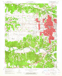
 1947 Joplin1954 Print · USGSThe borderlands of Missouri, Kansas, and Oklahoma are shown here during the late 1940s, a period of heavy industrial and military activity. Researchers can trace the extensive Tri-State Mining District, the layout of Camp Crowder, and local landmarks like Mount Hope Cem.
 - 1949 Map of Joplin
 1949 Joplin1949 Print · USGSThe Kansas-Missouri borderlands thrive in the late 1940s, showing a robust network of railroad towns and river valleys. Researchers can trace historic rail lines like the Missouri Pacific RR and locate rural centers such as Chanute, Iola, and Fort Scott.
 - 1954 Map of Joplin, 1967 Print
 1954 Joplin1967 Print · USGSThe tri-state border region of Kansas, Missouri, and Oklahoma is captured here during a peak era of mid-century industrial and agricultural activity. Researchers can trace family history through dozens of rural cemeteries or locate landmarks like the Kansas Army Ammunition Plant and Pittsburg State University.3 unique versions available
 - 1958 Map of Joplin
 1958 Joplin1958 Print · USGSThe tri-state border region of Missouri, Kansas, and Oklahoma is shown during the late fifties, a time of heavy rail traffic and mining activity. Local historians can trace the industrial landscape through the Joplin & Pittsburg Ry or locate family sites like Zion Ch and Bender Mounds.
 - 1959 Map of Joplin
 1959 Joplin1959 Print · USGSThe Tri-State region’s mining and rail-driven economy is on full display in the late fifties. Genealogists can locate Lead and Zinc Mines near Joplin, family markers at Oak Hill Cem, and military history at Camp Clark.
 - 1962 Map of Joplin West, 1964 Print
 1962 Joplin West1964 Print · USGSJoplin and the Missouri-Kansas borderlands are shown here in the early sixties, still bearing the visible scars and structures of the region's mining boom. Genealogists and historians can trace local families through many sites including Fairview Cemetery, Peace Church, and the neighborhood of Chitwood.2 unique versions available
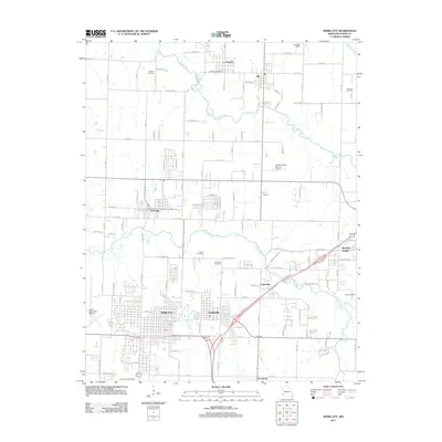
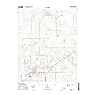
 - 1963 Map of Webb City, 1964 Print
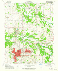 1963 Webb City1964 Print · USGSIn the early 1960s, this pocket of Jasper County shows the overlap of Missouri's mining heritage and mid-century growth. Researchers can trace historical lead-and-zinc sites like Oronogo alongside landmarks like Mark Twain School and Mt Hope Cemetery.2 unique versions available
 - 1963 Map of Joplin East, 1964 Print
 1963 Joplin East1964 Print · USGSJasper County in the early sixties shows the industrial transition of a major mining district. Trace the legacy of the lead belt through Tailings piles near Duenweg or find family landmarks like Underwood Sch and Harmony Grove Cem.3 unique versions available
 - 1963 Map of Carl Junction, 1964 Print
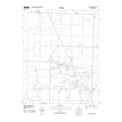
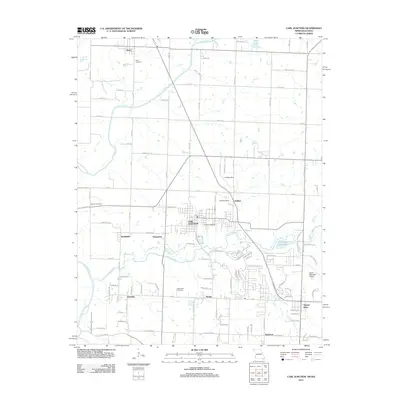
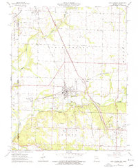 1963 Carl Junction1964 Print · USGSThe Joplin periphery during the early 1960s reveals a landscape shaped by mining and rail, from the Spring River to the growing suburbs. Researchers can locate vanished infrastructure like the Old Railroad Grade and trace family roots at Twin Grove Cem or Brick Sch.2 unique versions available
 - 1980 Map of Joplin West, 1982 Print
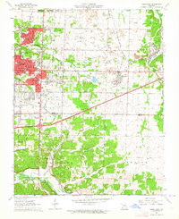
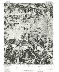 1980 Joplin West1982 Print · USGSThe Missouri-Kansas borderlands come into sharp focus in this early 1980s aerial survey, revealing the urban expansion of the Joplin area. Genealogists and historians can trace the exact building footprints and property lines in Joplin, Central City, and Galena.
 - 1980 Map of Joplin East, 1982 Print
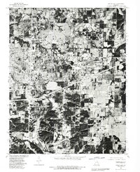 1980 Joplin East1982 Print · USGSJasper County undergoes significant expansion in the early eighties as the suburbs of eastern Joplin and Webb City begin to coalesce. Researchers can trace land use and property lines across small settlements and rural outposts such as Prosperity, Duenweg, and Silver Creek.
 - 1986 Map of Joplin
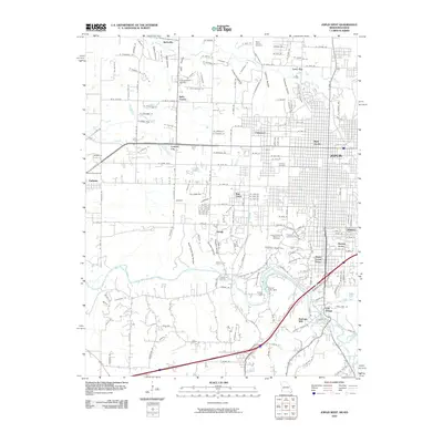
 1986 Joplin1986 Print · USGSThe tri-state border region comes alive in the mid-eighties as an industrial and transit powerhouse where Kansas and Missouri meet. Researchers can trace the heavy rail influence of the Missouri Pacific RR and explore sites like the Mined Land State Wildlife Area.
 - 1991 Map of Joplin
 1991 Joplin1991 Print · USGSThe tri-state mining district and the Ozark foothills meet in the early 1990s as industrial land transitions into conservation areas. Genealogists and historians can trace the growth of Joplin and Baxter Springs or locate rural sites like Mount Hope Cem and Blue Mound.
 - 2010 Map of Carl Junction, 2010 Print
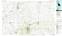
 2010 Carl Junction2010 Print · USGSCovers Joplin, including Carl Junction, Airport Drive, and other nearby areas
 - 2010 Map of Joplin West, 2010 Print
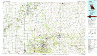
 2010 Joplin West2010 Print · USGSCovers Joplin, including Galena, Leawood, and other nearby areas
 - 2011 Map of Joplin East, 2011 Print
 2011 Joplin East2011 Print · USGSCovers Joplin, including Webb City, Duquesne, and other nearby areas
 - 2011 Map of Carl Junction, 2011 Print
 2011 Carl Junction2011 Print · USGSCovers Joplin, including Carl Junction, Airport Drive, and other nearby areas
 - 2011 Map of Joplin West, 2011 Print
 2011 Joplin West2011 Print · USGSCovers Joplin, including Galena, Leawood, and other nearby areas
 - 2011 Map of Webb City, 2011 Print
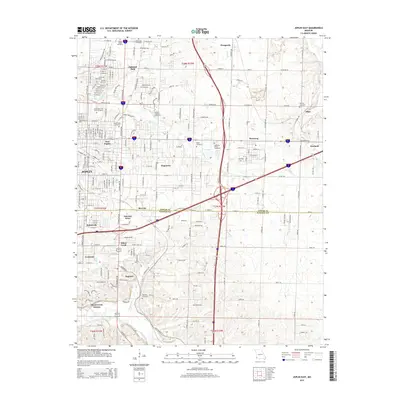
 2011 Webb City2011 Print · USGSCovers Joplin, including Webb City, Oronogo, and other nearby areas
 - 2015 Map of Webb City, 2015 Print
 2015 Webb City2015 Print · USGSCovers Joplin, including Webb City, Oronogo, and other nearby areas
 - 2015 Map of Joplin East, 2015 Print
 2015 Joplin East2015 Print · USGSCovers Joplin, including Webb City, Duquesne, and other nearby areas
Showing maps 1-25 of 35
Top cities near Joplin
- Carthage historical maps
- Neosho historical maps
- Webb City historical maps
- Carl Junction historical maps
- Baxter Springs historical maps
- Galena historical maps
See more
Top neighborhoods of Joplin
- Sunnyvale historical maps
- West Joplin historical maps
- East Joplin historical maps
- Gateway Drive historical maps
- Gregg historical maps
- Chitwood historical maps
See more
Frequently asked questions
- What are the different types of historical maps available for Joplin?
- What is the oldest map of Joplin?
- Where can I purchase historical maps of Joplin for my home or office?
- Where can I download high-res historical maps of Joplin?
- Are there historical topographic maps available for Joplin?
- Is there historical aerial imagery available for Joplin?
- Where are historical maps of Joplin sourced from?