Loading...
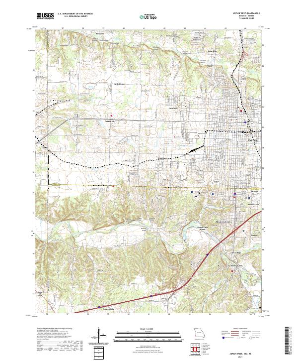
Loading map...2021 Map of Joplin West
USGS Topo · Published 2021About this map
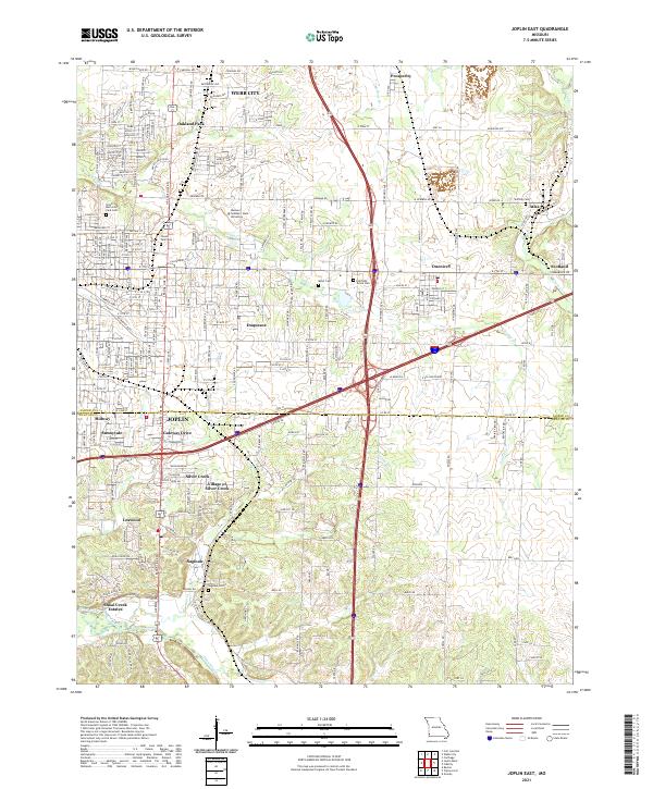
The western edge of Joplin meets the Kansas state line in this detailed study of the tri-state area's evolving landscape. The industrial and mining history of the region is etched into the terrain, visible through a series of namesake depressions including Chitwood Hollow, Leadville Hollow, and Opossum Hollow north of the city center. These features, along with settlements like Chitwood and Belleville, point to the area's zinc and lead heritage.
Find a feature on this map
117 named features on this map. Tap any name to fly to it.
Don’t see what you’re looking for? This feature index may not catch every label — zoom into the map to look around manually.
Map Details
Date Portrayed2021
Date Published2021
PublisherU.S. Geological Survey
Map TypeTopographic
Scale1:24000
Physical Dimensions24 x 29 inches
Editions of this 2021 Joplin West Map
This is the sole edition of this map. No revisions or reprints were ever made.
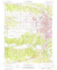
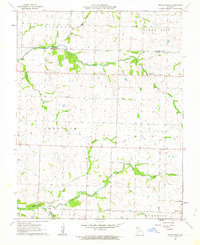
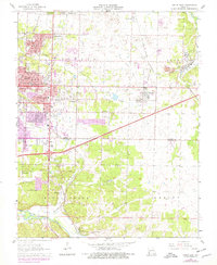
Historical Maps of Joplin Through Time
8 maps found
Featured Locations
Source Details
SourceU.S. Geological Survey
CopyrightPublic Domain