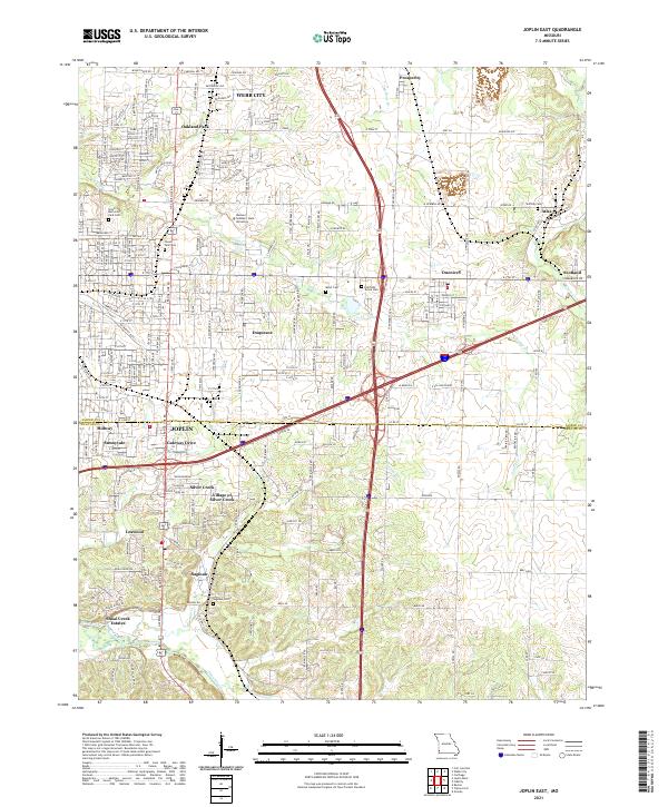
1980 Map of Joplin East
USGS Topo · Published 1982About this map
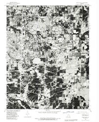
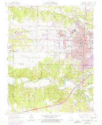
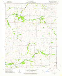
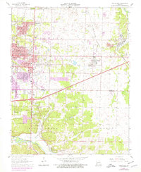
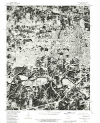
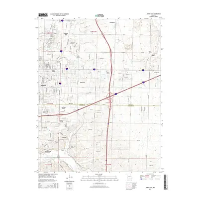
Webb City and eastern Joplin anchor this orthophotographic survey, which utilizes 1980 aerial imagery to reveal the complex development patterns of Jasper County. The map provides a hybrid perspective, overlaying 1963 land lines onto the photographic ground truth to show how residential and industrial growth shaped communities like Duenweg, Duquesne, and Prosperity. The interplay between the natural landscape and human footprint is evident where the dense urban grid transitions into the wooded bottomlands along Turkey Creek and the winding course of Shoal Creek near Saginaw. This document is particularly valuable for identifying specific property layouts and the proximity of industrial sites like Atlas to emerging suburban clusters such as Sunnyvale and Leawood. It serves as a literal visual record of the region's mid-century expansion before subsequent decades of redevelopment altered these corridors.
Find a feature on this map
15 named features on this map. Tap any name to fly to it.
Don’t see what you’re looking for? This feature index may not catch every label — zoom into the map to look around manually.
Map Details
Editions of this 1980 Joplin East Map
This is the sole edition of this map. No revisions or reprints were ever made.
Historical Maps of Joplin Through Time
18 maps found
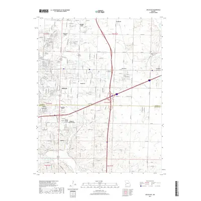
1962 Joplin West
Jasper County, MO
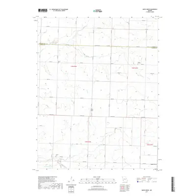
1962 Maple Grove
Jasper County, MO
1963 Joplin East
Jasper County, MO
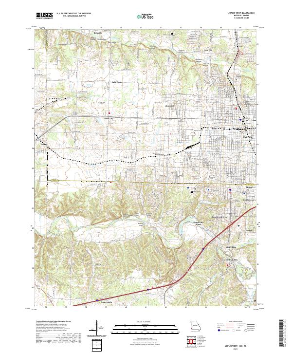
1980 Joplin East
Jasper County, MO
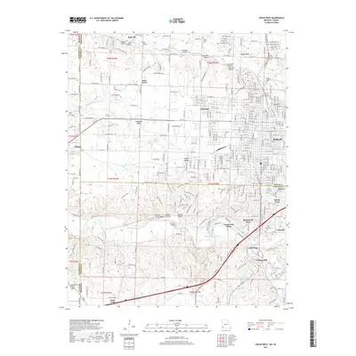
1980 Joplin West
Jasper County, MO
2010 Joplin West
Jasper County, MO
2011 Joplin East
Jasper County, MO
2011 Joplin West
Jasper County, MO
2011 Maple Grove
Jasper County, MO
2015 Joplin East
Jasper County, MO
2015 Joplin West
Jasper County, MO
2015 Maple Grove
Jasper County, MO
2017 Joplin East
Jasper County, MO
2017 Joplin West
Jasper County, MO
2017 Maple Grove
Jasper County, MO
2021 Joplin East
Jasper County, MO
2021 Joplin West
Jasper County, MO
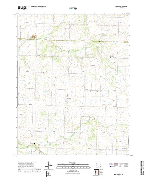
2021 Maple Grove
Jasper County, MO