
1949 Map of Racine
USGS Topo · Published 1973About this map
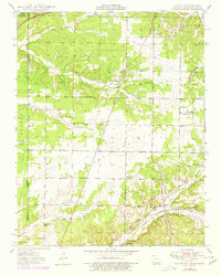
Tripoli Mines and industrial pockets mark this landscape where Missouri, Oklahoma, and Kansas meet. Surveyed just after the war, the terrain is defined by the broad Five Mile Prairie and the winding course of Shoal Creek. The St Louis San Francisco railroad cuts through the southern portion of the quadrangle, serving the village of Racine and providing a transport corridor for local mining operations.
Find a feature on this map
38 named features on this map. Tap any name to fly to it.
Don’t see what you’re looking for? This feature index may not catch every label — zoom into the map to look around manually.
Map Details
Editions of this 1949 Racine Map
2 editions found
Other maps of this area

1886 · Joplin
USGS Topo · 1:125,000

1886 · Carthage
USGS Topo · 1:125,000

1894 · Joplin
USGS Topo · 1:125,000

1894 · Carthage
USGS Topo · 1:125,000

1907 · Wyandotte
USGS Topo · 1:125,000

1909 · Wyandotte
USGS Topo · 1:125,000

1916 · Neosho
USGS Topo · 1:62,500

1947 · Joplin
USGS Topo · 1:250,000

1949 · Joplin
USGS Topo · 1:250,000

1949 · Seneca
USGS Topo · 1:24,000