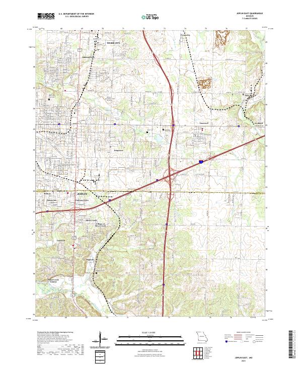
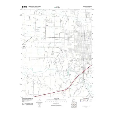
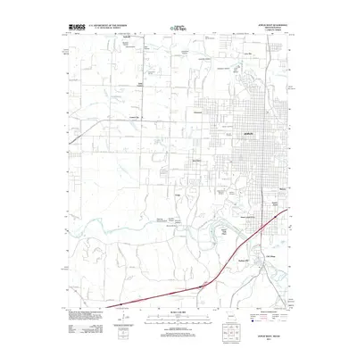
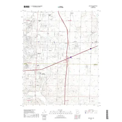
2021 Map of Joplin East
USGS Topo · Published 2021About this map
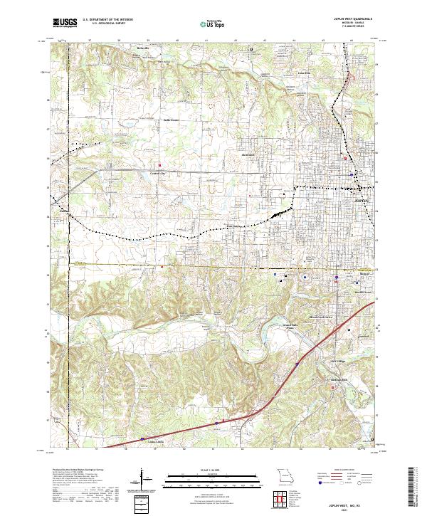
Joplin and Webb City anchor this landscape where residential neighborhoods and higher education meet a complex network of waterways. The campus of Missouri Southern State University occupies a central position, surrounded by numerous distinct communities including Oakland Park, Duquesne, and Duenweg. The terrain is defined by the winding paths of Turkey Cr and Shoal Creek, which flow through various suburban developments and green spaces.
Find a feature on this map
167 named features on this map. Tap any name to fly to it.
Don’t see what you’re looking for? This feature index may not catch every label — zoom into the map to look around manually.
Map Details
Editions of this 2021 Joplin East Map
This is the sole edition of this map. No revisions or reprints were ever made.
Historical Maps of Joplin Through Time
18 maps found
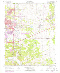
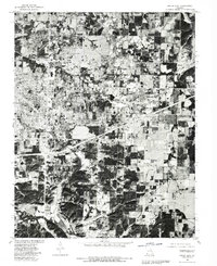
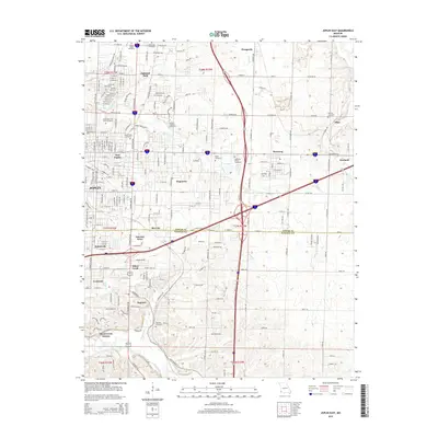
1962 Joplin West
Jasper County, MO
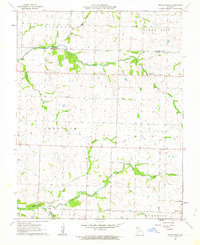
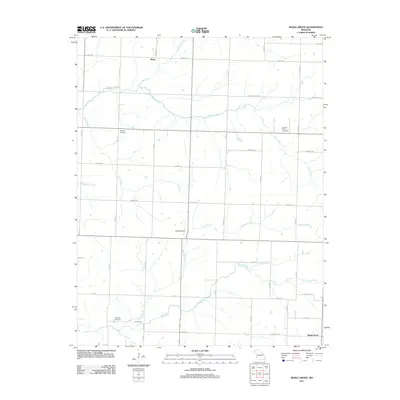
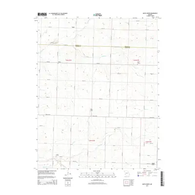
1962 Maple Grove
Jasper County, MO
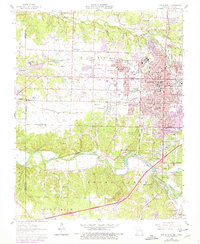
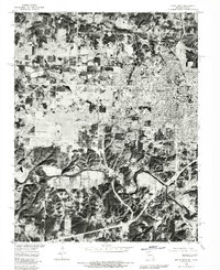
1963 Joplin East
Jasper County, MO
1980 Joplin East
Jasper County, MO
1980 Joplin West
Jasper County, MO
2010 Joplin West
Jasper County, MO
2011 Joplin East
Jasper County, MO
2011 Joplin West
Jasper County, MO
2011 Maple Grove
Jasper County, MO
2015 Joplin East
Jasper County, MO
2015 Joplin West
Jasper County, MO
2015 Maple Grove
Jasper County, MO
2017 Joplin East
Jasper County, MO
2017 Joplin West
Jasper County, MO
2017 Maple Grove
Jasper County, MO
2021 Joplin East
Jasper County, MO
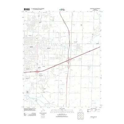
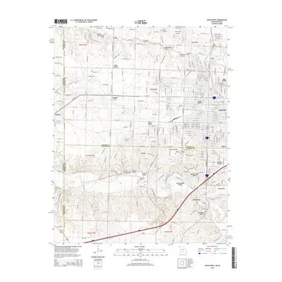
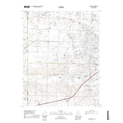
2021 Joplin West
Jasper County, MO
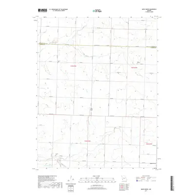
2021 Maple Grove
Jasper County, MO