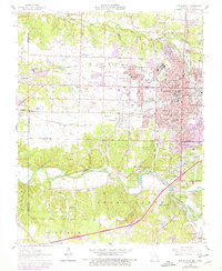
1962 Map of Joplin West
USGS Topo · Published 1979About this map
Joplin and its western outskirts are captured here during a period of transition, where the heavy industrial legacy of the tri-state mining district meets mid-century suburban expansion. The landscape is heavily marked by the region's lead and zinc heritage, with numerous tailings piles and quarries scattered near Chitwood and Galena. These remnants of extraction sit alongside 1960s civic markers like the Drive-in Theater, a Race Track, and the Twin Hills Country Club.
Find a feature on this map
70 named features on this map. Tap any name to fly to it.
Don’t see what you’re looking for? This feature index may not catch every label — zoom into the map to look around manually.
Map Details
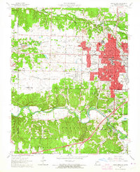
Editions of this 1962 Joplin West Map
2 editions found
Other maps of this area

1886 · Joplin
USGS Topo · 1:125,000

1886 · Carthage
USGS Topo · 1:125,000

1894 · Joplin
USGS Topo · 1:125,000

1894 · Carthage
USGS Topo · 1:125,000

1907 · Wyandotte
USGS Topo · 1:125,000

1909 · Wyandotte
USGS Topo · 1:125,000

1916 · Neosho
USGS Topo · 1:62,500

1947 · Joplin
USGS Topo · 1:250,000

1949 · Joplin
USGS Topo · 1:250,000

1949 · Racine
USGS Topo · 1:24,000