Old Maps of Greenton, Missouri for Hiking & Exploration
Hike through history with 12 historic maps of Greenton. Explore old trails, ghost towns, and forgotten backroads — perfect for outdoor adventurers and local explorers.
- Rediscover forgotten places: Map out old mining camps, roads, and footpaths that no longer exist on modern maps.
- Layer with modern tools: Combine with LiDAR or satellite views to plan hikes through historical terrain.
- Made for exploration: Popular among hikers, overlanders, and local history lovers.
Use these maps to find adventure and explore the hidden past of Greenton.
Greenton, MO maps
(12)- 1889 Map of Lexington
 1889 Lexington1889 Print · USGSLafayette and Ray Counties are captured here during the late nineteenth-century rail boom. Researchers can trace the development of river towns and rail junctions like Lexington, Lexington Junction, and the riverside landing at Miles Point.6 unique versions available
 - 1949 Map of Odessa North, 1976 Print
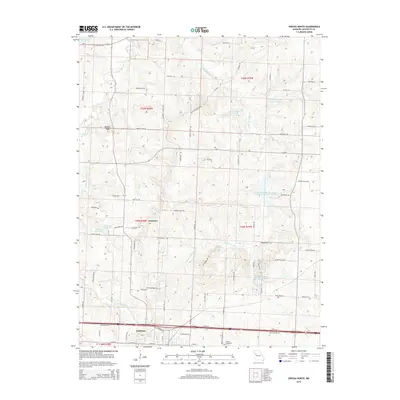
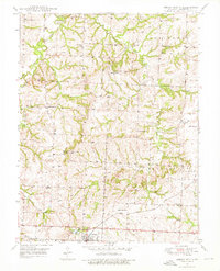 1949 Odessa North1976 Print · USGSLafayette County countryside is captured here in the late 1940s, just as the postwar era began to reshape rural Missouri. You can trace dozens of landmarks including the GULF MOBILE AND OHIO line, Greenton Ch, and old country schools like Cabbage Neck Sch.2 unique versions available
 - 1950 Map of Odessa North
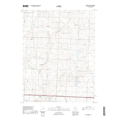
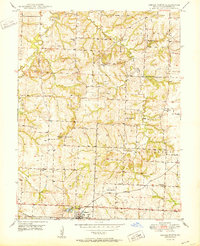 1950 Odessa North1950 Print · USGSLafayette County was a patchwork of small school districts and family farms at mid-century, centered around the town of Odessa. Genealogists and local historians can trace the locations of rural landmarks like Greenton Ch, Cabbage Neck Sch, and the Gulf Mobile and Ohio railroad.2 unique versions available
 - 1953 Map of Moberly
 1953 Moberly1953 Print · USGSMid-century north-central Missouri is documented here as a bustling intersection of river commerce and heavy rail. Researchers can trace historic family-named landmarks and transport hubs from the Missouri River corridor to the rail yards of Moberly, Chillicothe, and Macon.
 - 1954 Map of Moberly, 1969 Print
 1954 Moberly1969 Print · USGSMid-century Missouri is captured here during a period of transition for its river towns and rail hubs. Genealogists and historians can trace the paths of the Wabash railroad through Moberly or explore the riverside layout of Lexington and Brunswick.3 unique versions available
 - 1957 Map of Moberly
 1957 Moberly1957 Print · USGSNorth-central Missouri in the late nineteen-forties and fifties remains a landscape defined by its great rivers and a dense network of steam and diesel rail lines. Genealogists and historians can trace the paths of the Wabash RR and Santa Fe RR through historic junctions like Moberly, Brookfield, and Macon.
 - 1960 Map of Moberly
 1960 Moberly1960 Print · USGSCentral Missouri comes alive in the mid-twentieth century as a bustling network of river towns and significant rail corridors. Genealogists and historians can trace the paths of the Wabash RR through Moberly or explore the riverfronts of Lexington and Brunswick.
 - 1982 Map of Marshall
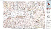 1982 Marshall1982 Print · USGSMid-Missouri river life and rail history meet in this early 1980s landscape, centered on the Missouri's winding course. Researchers can trace the historic Santa Fe Trail and explore sites like the Confederate Memorial State Park and Carrollton Mem Cemetery.
 - 2012 Map of Odessa North, 2012 Print
 2012 Odessa North2012 Print · USGSCovers Greenton, including Odessa, Lafayette County, and other nearby areas
 - 2015 Map of Odessa North, 2015 Print
 2015 Odessa North2015 Print · USGSCovers Greenton, including Odessa, Lafayette County, and other nearby areas
 - 2017 Map of Odessa North, 2017 Print
 2017 Odessa North2017 Print · USGSCovers Greenton, including Odessa, Lafayette County, and other nearby areas
 - 2021 Map of Odessa North, 2021 Print
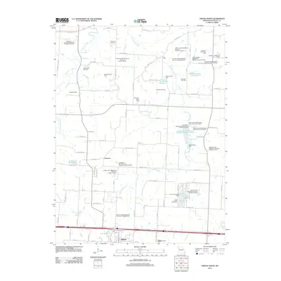
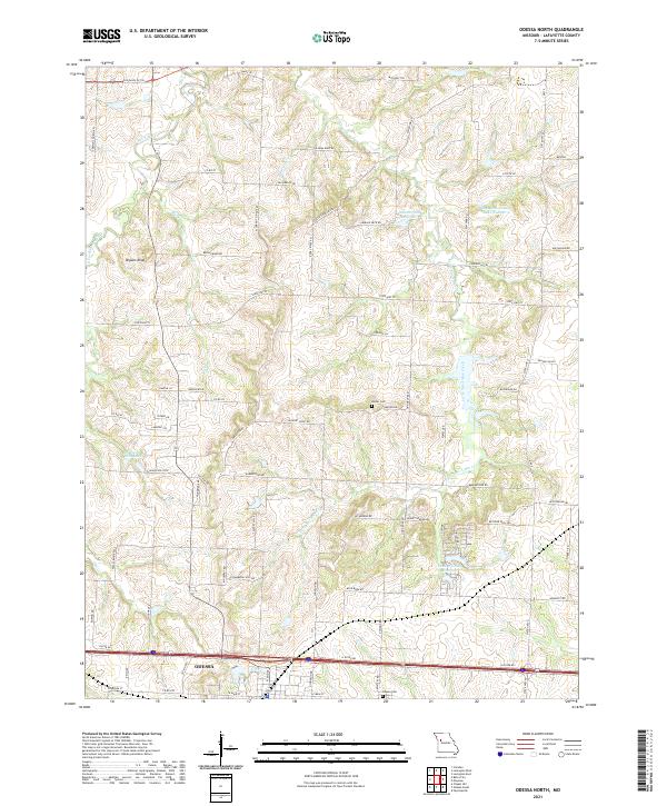 2021 Odessa North2021 Print · USGSThe northern environs of Odessa are shown here as they appeared in the early 2020s, dominated by the drainage basins of Sni-A-Bar Creek. Local historians can trace historical routes like the Old Santa Fe Trl and find family-named landmarks such as the Barker Cem and Flournoy School Rd.
End of results
Showing maps 1-12 of 12
Top cities near Greenton
- Grain Valley historical maps
- Oak Grove historical maps
- Richmond historical maps
- Odessa historical maps
- Higginsville historical maps
- Lexington historical maps
See more
Frequently asked questions
- What are the different types of historical maps available for Greenton?
- What is the oldest map of Greenton?
- Where can I purchase historical maps of Greenton for my home or office?
- Where can I download high-res historical maps of Greenton?
- Are there historical topographic maps available for Greenton?
- Is there historical aerial imagery available for Greenton?
- Where are historical maps of Greenton sourced from?