Old Maps of Cuivre Heights, Missouri for Metal Detecting
Plan your next treasure hunt with 10 historic maps of Cuivre Heights. Find old homesites, ghost towns, trails, and gathering spots that may be lost to time — perfect for identifying promising metal detecting locations.
- Locate forgotten sites: Uncover places like long-lost settlements, abandoned rail lines, or gathering spots.
- Plan better hunts: Use map overlays combined with LiDAR or satellite views to narrow in on historically rich areas.
- Made for detectorists: Thousands of hobbyists use these maps to discover relics, coins, and hidden history.
Use these historic maps to boost your research and find new opportunities beneath the surface of Cuivre Heights.
Cuivre Heights, MO maps
(10)- 1934 Map of Elsberry
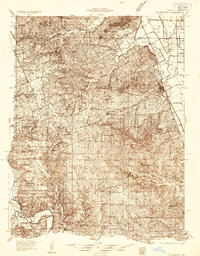 1934 Elsberry1934 Print · USGSLincoln County in the mid-1930s shows a landscape of ridge-top farms and river valley settlements along the Chicago Burlington and Quincy rail line. Genealogists can trace early rural life through numerous sites like Old Alexandria, Ashbury Chapel, and the Boyles Cem.2 unique versions available
 - 1942 Map of Elsberry
 1942 Elsberry1942 Print · USGSNortheastern Missouri's river bluffs and rail corridors are captured here during the early 1940s. Genealogists and historians can locate vanished landmarks like Brussels Sch, Penn Cave, and the rural Old Alexandria Ch.2 unique versions available
 - 1948 Map of Quincy
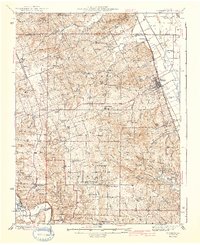
 1948 Quincy1948 Print · USGSThe Mississippi and Illinois River valleys are captured at a post-war crossroads as rail and river travel met the expanding highway system. Genealogists can trace family settlements from Quincy to Hannibal and smaller towns like Vandalia and Jerseyville.2 unique versions available
 - 1956 Map of Quincy, 1967 Print
 1956 Quincy1967 Print · USGSThe river and rail corridors of the Illinois-Missouri border are documented here during the mid-1950s. Researchers can trace historic river landings and regional transit hubs from Quincy and Hannibal to smaller settlements like Meredosia and Roodhouse.3 unique versions available
 - 1975 Map of Okete, 1978 Print
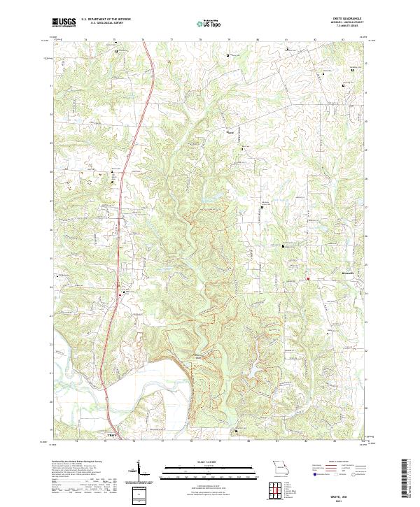
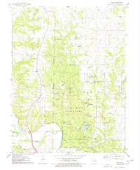 1975 Okete1978 Print · USGSLincoln County in the mid-seventies shows a landscape of conservation and quiet rural life. Genealogists can locate numerous family burial grounds like Gladney Cem and Reid Cem or trace the early community centers of Okete and Brussels.2 unique versions available
 - 1985 Map of Jerseyville
 1985 Jerseyville1985 Print · USGSThe confluence of the Illinois and Mississippi rivers defines this 1980s landscape of fertile bottomlands and rail-hub towns. Genealogists and historians can trace the foundations of communities like Jerseyville and White Hall alongside the Oak Grove Cem and St Mary Church.2 unique versions available
 - 2011 Map of Okete, 2011 Print
 2011 Okete2011 Print · USGSCovers Cuivre Heights, including Troy, Okete, and other nearby areas
 - 2014 Map of Okete, 2014 Print
 2014 Okete2014 Print · USGSCovers Cuivre Heights, including Troy, Okete, and other nearby areas
 - 2017 Map of Okete, 2017 Print
 2017 Okete2017 Print · USGSCovers Cuivre Heights, including Troy, Okete, and other nearby areas
 - 2021 Map of Okete, 2021 Print
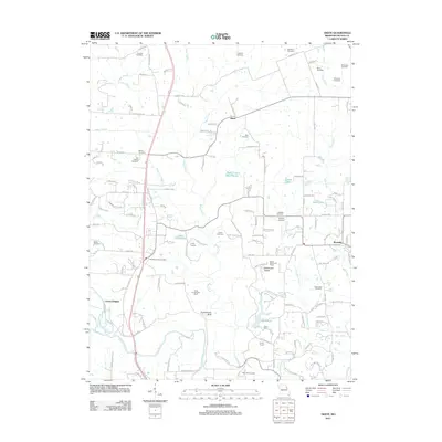
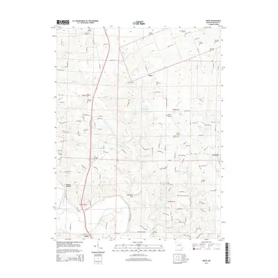
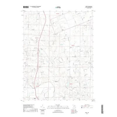
 2021 Okete2021 Print · USGSLincoln County in the early 2020s remains a landscape of historic family farmsteads and quiet creek bottoms along Sugar Creek. Genealogists and historians can trace dozens of local burial sites like Davis Cem and Thornhill Cem while exploring landmarks like Frenchman Bluff.
End of results
Showing maps 1-10 of 10
Top cities near Cuivre Heights
- O'Fallon historical maps
- Wentzville historical maps
- Troy historical maps
- Warrenton historical maps
- Wright City historical maps
- Elsberry historical maps
See more
Frequently asked questions
- What are the different types of historical maps available for Cuivre Heights?
- What is the oldest map of Cuivre Heights?
- Where can I purchase historical maps of Cuivre Heights for my home or office?
- Where can I download high-res historical maps of Cuivre Heights?
- Are there historical topographic maps available for Cuivre Heights?
- Is there historical aerial imagery available for Cuivre Heights?
- Where are historical maps of Cuivre Heights sourced from?