Old Maps of Stillhouse Ford, Missouri for Hiking & Exploration
Hike through history with 11 historic maps of Stillhouse Ford. Explore old trails, ghost towns, and forgotten backroads — perfect for outdoor adventurers and local explorers.
- Rediscover forgotten places: Map out old mining camps, roads, and footpaths that no longer exist on modern maps.
- Layer with modern tools: Combine with LiDAR or satellite views to plan hikes through historical terrain.
- Made for exploration: Popular among hikers, overlanders, and local history lovers.
Use these maps to find adventure and explore the hidden past of Stillhouse Ford.
Stillhouse Ford, MO maps
(11)- 1890 Map of Louisiana
 1890 Louisiana1890 Print · USGSUpper Missouri and Illinois river country in the 1890s is captured here at the height of the steam-rail era. Genealogists can trace family roots through old rural outposts like New Harmony, Prairieville, and the transit hub at Bowling Green.5 unique versions available
 - 1942 Map of Bellflower, 1966 Print
 1942 Bellflower1966 Print · USGSEastern Missouri farm country is captured here during the early years of the war, revealing a landscape defined by the Cuivre River and the Chicago Burlington and Quincy rail line. Genealogists can locate family-named landmarks and rural hubs like Middletown, Smyrna Ch, and the Prairie Flower Sch.
 - 1945 Map of Bellflower
 1945 Bellflower1945 Print · USGSThe rural borderlands of Montgomery, Audrain, and Pike counties are captured here in the mid-1940s as a network of tightly-knit farming communities. Genealogists can trace family footprints through dozens of local landmarks, including Payne Cem, Smyrna Ch, and the many namesake schoolhouses like Mudd Sch.2 unique versions available
 - 1948 Map of Quincy
 1948 Quincy1948 Print · USGSThe Mississippi and Illinois River valleys are captured at a post-war crossroads as rail and river travel met the expanding highway system. Genealogists can trace family settlements from Quincy to Hannibal and smaller towns like Vandalia and Jerseyville.2 unique versions available
 - 1956 Map of Quincy, 1967 Print
 1956 Quincy1967 Print · USGSThe river and rail corridors of the Illinois-Missouri border are documented here during the mid-1950s. Researchers can trace historic river landings and regional transit hubs from Quincy and Hannibal to smaller settlements like Meredosia and Roodhouse.3 unique versions available
 - 1973 Map of Bellflower North, 1977 Print
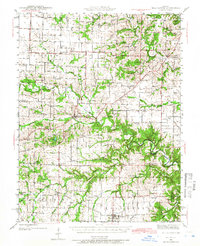
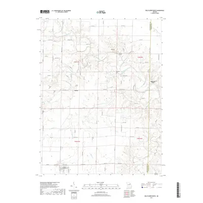
 1973 Bellflower North1977 Print · USGSMontgomery County was a landscape of small rural settlements and river-valley farms in the early 1970s. Researchers can trace family history through numerous landmarks like Union Chapel, Mabry Cem, and the old crossing at Stillhouse Ford.
 - 1986 Map of Mexico
 1986 Mexico1986 Print · USGSEast Central Missouri in the mid-eighties shows a landscape of steady agricultural towns and the expansive waters of Mark Twain Lake. Genealogists and historians can trace rail-side communities like Laddonia and Wellsville or locate family markers at Elwood Cem.2 unique versions available
 - 2012 Map of Bellflower North, 2012 Print
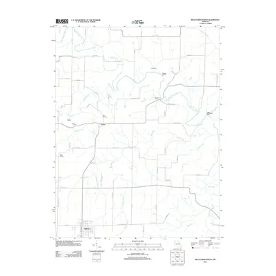 2012 Bellflower North2012 Print · USGSCovers Stillhouse Ford, including Bellflower, Gamma, and other nearby areas
 - 2014 Map of Bellflower North, 2014 Print
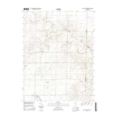 2014 Bellflower North2014 Print · USGSCovers Stillhouse Ford, including Bellflower, Gamma, and other nearby areas
 - 2017 Map of Bellflower North, 2017 Print
 2017 Bellflower North2017 Print · USGSCovers Stillhouse Ford, including Bellflower, Gamma, and other nearby areas
 - 2021 Map of Bellflower North, 2021 Print
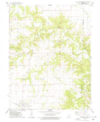
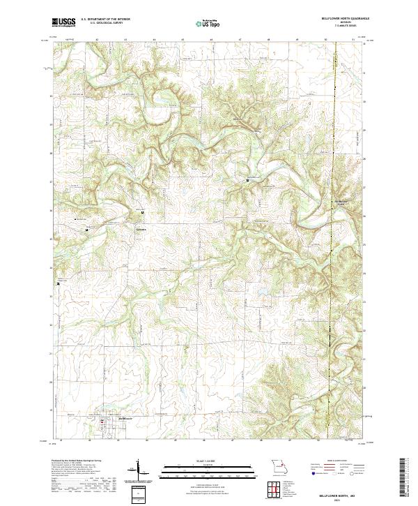 2021 Bellflower North2021 Print · USGSThe rural Montgomery County landscape south of the Cuivre River appears in detail just after the turn of the twenty-first century. Genealogists and local historians can trace family connections at Macedonia Cem, Union Chapel Cem, and the river crossing at Stillhouse Ford.
End of results
Showing maps 1-11 of 11
Top cities near Stillhouse Ford
- Warrenton historical maps
- Vandalia historical maps
- Wright City historical maps
- Montgomery City historical maps
- New Florence historical maps
- Jonesburg historical maps
See more
Frequently asked questions
- What are the different types of historical maps available for Stillhouse Ford?
- What is the oldest map of Stillhouse Ford?
- Where can I purchase historical maps of Stillhouse Ford for my home or office?
- Where can I download high-res historical maps of Stillhouse Ford?
- Are there historical topographic maps available for Stillhouse Ford?
- Is there historical aerial imagery available for Stillhouse Ford?
- Where are historical maps of Stillhouse Ford sourced from?