Old Maps of Leverton, Missouri for Genealogy
Trace your family roots with 12 historic maps of Leverton. These high-res maps reveal old neighborhoods, homesites, landmarks, and streets — helping you uncover where your ancestors lived and how the area evolved over time.
- Explore historic neighborhoods: Identify where your relatives may have lived in the 1800s or 1900s.
- Compare maps over time: Trace the changes in streets, buildings, and landmarks for multi-generational research.
- Perfect for genealogy & ancestry research: Used by family historians and researchers to map out lineage and migration.
These maps are an incredible resource for exploring your personal connection to Leverton's past.
Leverton, MO maps
(12)- 1946 Map of Brookfield, 1979 Print
 1946 Brookfield1979 Print · USGSLinn County is captured here in the mid-1940s, showing a landscape defined by the Chicago Burlington and Quincy rail line and dozens of rural school districts. Genealogists can trace family roots through numerous sites like South Salem Cem, Magnolia Ch, and the Prairie Seminary Sch.
 - 1948 Map of Brookfield
 1948 Brookfield1948 Print · USGSLinn County in the late 1940s is defined by its busy rail corridors and a remarkably dense network of small rural school districts. Genealogists and historians can trace the foundations of local life at Prairie Seminary Sch, Dryden Cem, and Laclede.2 unique versions available
 - 1953 Map of Moberly
 1953 Moberly1953 Print · USGSMid-century north-central Missouri is documented here as a bustling intersection of river commerce and heavy rail. Researchers can trace historic family-named landmarks and transport hubs from the Missouri River corridor to the rail yards of Moberly, Chillicothe, and Macon.
 - 1954 Map of Moberly, 1969 Print
 1954 Moberly1969 Print · USGSMid-century Missouri is captured here during a period of transition for its river towns and rail hubs. Genealogists and historians can trace the paths of the Wabash railroad through Moberly or explore the riverside layout of Lexington and Brunswick.3 unique versions available
 - 1957 Map of Moberly
 1957 Moberly1957 Print · USGSNorth-central Missouri in the late nineteen-forties and fifties remains a landscape defined by its great rivers and a dense network of steam and diesel rail lines. Genealogists and historians can trace the paths of the Wabash RR and Santa Fe RR through historic junctions like Moberly, Brookfield, and Macon.
 - 1960 Map of Moberly
 1960 Moberly1960 Print · USGSCentral Missouri comes alive in the mid-twentieth century as a bustling network of river towns and significant rail corridors. Genealogists and historians can trace the paths of the Wabash RR through Moberly or explore the riverfronts of Lexington and Brunswick.
 - 1981 Map of Chillicothe
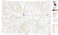 1981 Chillicothe1981 Print · USGSNorth Missouri's Grand River basin comes into focus during the early 1980s, showcasing a network of vital rail lines and river settlements. Genealogists and historians can trace rail-town development from Gallatin to Brookfield and explore extensive conservation lands like Swan Lake National Wildlife Refuge.
 - 1984 Map of Shelby, 1985 Print
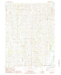 1984 Shelby1985 Print · USGSThe rural community of Shelby and the surrounding townships of Linn County are captured here in the early 1980s. Trace the winding paths of West Yellow Creek, Big Turkey Creek, and Bear Creek as they carve through this traditional Missouri farm landscape.
 - 2012 Map of Shelby, 2012 Print
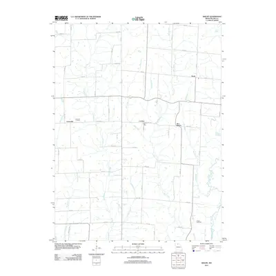 2012 Shelby2012 Print · USGSLinn County’s rural landscape is meticulously detailed here in the early twenty-first century. Genealogists and local historians can trace family roots through the Grantsville Cemetery or locate the site of the Leverton Post Office along the banks of Bear Creek.
 - 2015 Map of Shelby, 2015 Print
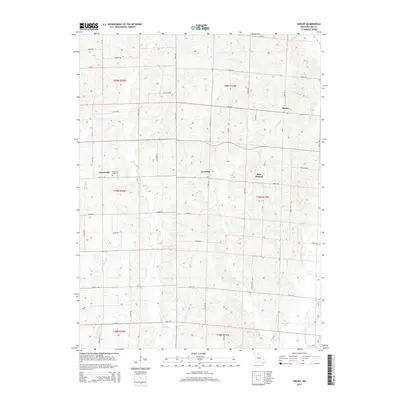 2015 Shelby2015 Print · USGSLinn County agriculture and rural life are captured here in the mid-2010s, showing a landscape defined by small settlements and a dense network of creeks. Genealogists and local historians can trace family roots around Grantsville, Leverton, and the Grantsville Cemetery.
 - 2017 Map of Shelby, 2017 Print
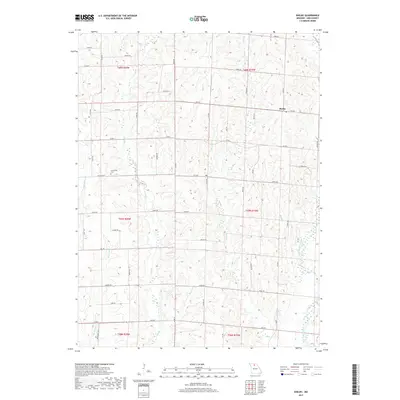 2017 Shelby2017 Print · USGSNorth-central Missouri farmland is shown here in the late 2010s, organized by a strict grid of rural section roads. Genealogists and local historians can locate Grantsville Cem, the settlement of Shelby, and numerous watercourses like West Yellow Creek.
 - 2021 Map of Shelby, 2021 Print
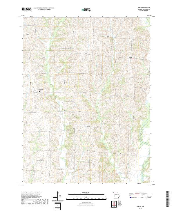 2021 Shelby2021 Print · USGSLinn County agriculture and local creek systems are captured here in the early twenty-first century. Researchers can locate Grantsville Cem and trace the complex drainage networks of West Yellow Creek and Big Turkey Cr across the rural township of Shelby.
End of results
Showing maps 1-12 of 12
Top cities near Leverton
- Brookfield historical maps
- Marceline historical maps
- Bucklin historical maps
- Laclede historical maps
- Linneus historical maps
- Browning historical maps
See more
Frequently asked questions
- What are the different types of historical maps available for Leverton?
- What is the oldest map of Leverton?
- Where can I purchase historical maps of Leverton for my home or office?
- Where can I download high-res historical maps of Leverton?
- Are there historical topographic maps available for Leverton?
- Is there historical aerial imagery available for Leverton?
- Where are historical maps of Leverton sourced from?