Old Maps of Bevier, Missouri for Genealogy
Trace your family roots with 17 historic maps of Bevier. These high-res maps reveal old neighborhoods, homesites, landmarks, and streets — helping you uncover where your ancestors lived and how the area evolved over time.
- Explore historic neighborhoods: Identify where your relatives may have lived in the 1800s or 1900s.
- Compare maps over time: Trace the changes in streets, buildings, and landmarks for multi-generational research.
- Perfect for genealogy & ancestry research: Used by family historians and researchers to map out lineage and migration.
These maps are an incredible resource for exploring your personal connection to Bevier's past.
Bevier, MO maps
(17)- 1937 Map of Elmer
 1937 Elmer1937 Print · USGSMacon County's rural heartland is meticulously documented in the late 1930s, showing a landscape defined by the winding Chariton River and its multiple rail lines. Genealogists can locate dozens of country schools and churches like Hopewell Sch & Ch or trace family plots at Shirley Cem and Sibel Cem.
 - 1942 Map of Elmer
 1942 Elmer1942 Print · USGSMacon County in the late thirties and early forties was a landscape of rail-connected towns and rural township schools. Researchers can trace family roots through numerous burial grounds like Shirley Cem or locate former community hubs such as Milam Chapel, Bloomington, and Kern Sch.3 unique versions available
 - 1953 Map of Moberly
 1953 Moberly1953 Print · USGSMid-century north-central Missouri is documented here as a bustling intersection of river commerce and heavy rail. Researchers can trace historic family-named landmarks and transport hubs from the Missouri River corridor to the rail yards of Moberly, Chillicothe, and Macon.
 - 1953 Map of Bevier South, 1955 Print
 1953 Bevier South1955 Print · USGSMacon County coal country is captured here in the mid-1950s, showing a landscape shaped by industrial mining and the rail lines that served it. Genealogists can trace family roots through rural landmarks like Keota, Ardmore, and New Salem Ch.2 unique versions available
 - 1954 Map of Moberly, 1969 Print
 1954 Moberly1969 Print · USGSMid-century Missouri is captured here during a period of transition for its river towns and rail hubs. Genealogists and historians can trace the paths of the Wabash railroad through Moberly or explore the riverside layout of Lexington and Brunswick.3 unique versions available
 - 1957 Map of Moberly
 1957 Moberly1957 Print · USGSNorth-central Missouri in the late nineteen-forties and fifties remains a landscape defined by its great rivers and a dense network of steam and diesel rail lines. Genealogists and historians can trace the paths of the Wabash RR and Santa Fe RR through historic junctions like Moberly, Brookfield, and Macon.
 - 1960 Map of Moberly
 1960 Moberly1960 Print · USGSCentral Missouri comes alive in the mid-twentieth century as a bustling network of river towns and significant rail corridors. Genealogists and historians can trace the paths of the Wabash RR through Moberly or explore the riverfronts of Lexington and Brunswick.
 - 1979 Map of Bevier North
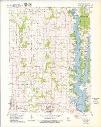 1979 Bevier North1979 Print · USGSMacon County underwent a major geographic shift in the late seventies as the filling of Long Branch Lake began. You can trace the footprint of the new reservoir alongside the Burlington Northern railroad and numerous cemeteries like Saint Charles Cem and Skinner Cem.
 - 1981 Map of Macon
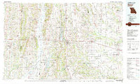 1981 Macon1981 Print · USGSNorthern Missouri's rail-and-river landscape is captured here in the early eighties, centered on the crossroads of Macon. Researchers can trace old cemetery sites like St Marys Cem, local landmarks such as College Mound, and the routes of the Burlington Northern railroad.
 - 2012 Map of Bevier North, 2012 Print
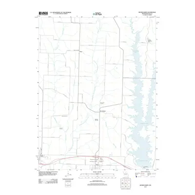 2012 Bevier North2012 Print · USGSMacon County's rural character and shifting landscapes are clear in this 2012 survey. Genealogists can trace family roots through several local cemeteries like Skinner Cemetery or Freedom Cemetery, while seeing how Long Branch Lake altered the eastern valley.
 - 2012 Map of Bevier South, 2012 Print
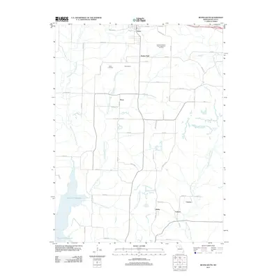 2012 Bevier South2012 Print · USGSMacon County's coal mining and reservoir landscape is captured here as it appeared in the early 2010s. Researchers can locate small communities like Keota and Ardmore, or trace the industrial footprint of the Central Coal and Coke Corporation Lake Dam.
 - 2014 Map of Bevier North, 2014 Print
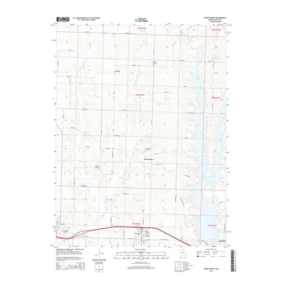 2014 Bevier North2014 Print · USGSNorth of Macon in the early twenty-first century, the landscape is defined by the significant waters of Long Br Lake. Genealogists can trace family histories through a high density of rural burial grounds, including Bloomington Cemetery, Old Callao Cemetery, and Freedom Cemetery.
 - 2014 Map of Bevier South, 2014 Print
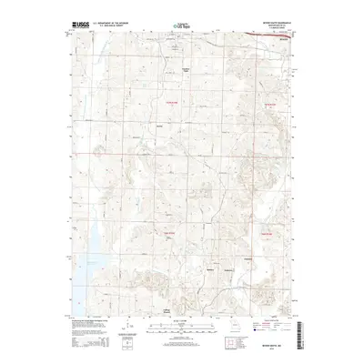 2014 Bevier South2014 Print · USGSMacon County, Missouri, is captured here in the early twenty-first century, showcasing a landscape defined by the Little Chariton River system. Researchers can trace rural lineages through the Union Cemetery or explore the vanished footprints of settlements like Keota and College Mound.
 - 2017 Map of Bevier South, 2017 Print
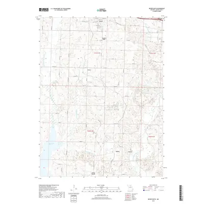 2017 Bevier South2017 Print · USGSMacon County in the late 2010s shows a landscape defined by river forks and a network of small upland communities. Genealogists and local historians can trace the roads connecting Bevier, College Mound, and the quiet grounds of Union Cem.
 - 2017 Map of Bevier North, 2017 Print
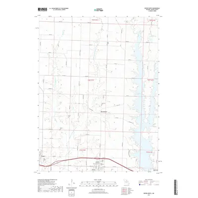 2017 Bevier North2017 Print · USGSNorth of Bevier during the late 2010s, this area of Macon County shows a landscape shaped by the Long Branch Lake and a high density of rural cemeteries. Genealogists can locate family sites like Milam Chapel Cem, Freedom Cem, and Skinner Cem along the Middle Fork Little Chariton River.
 - 2021 Map of Bevier South, 2021 Print
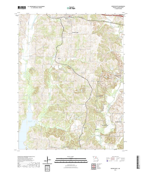 2021 Bevier South2021 Print · USGSMacon County's rural landscape is captured here in the early twenty-first century, showing the enduring layout of small Missouri communities. Researchers can trace the legacy of local settlements like Keota and College Mound or locate Union Cem near the headwaters of S Fork Claybank Cr.
 - 2021 Map of Bevier North, 2021 Print
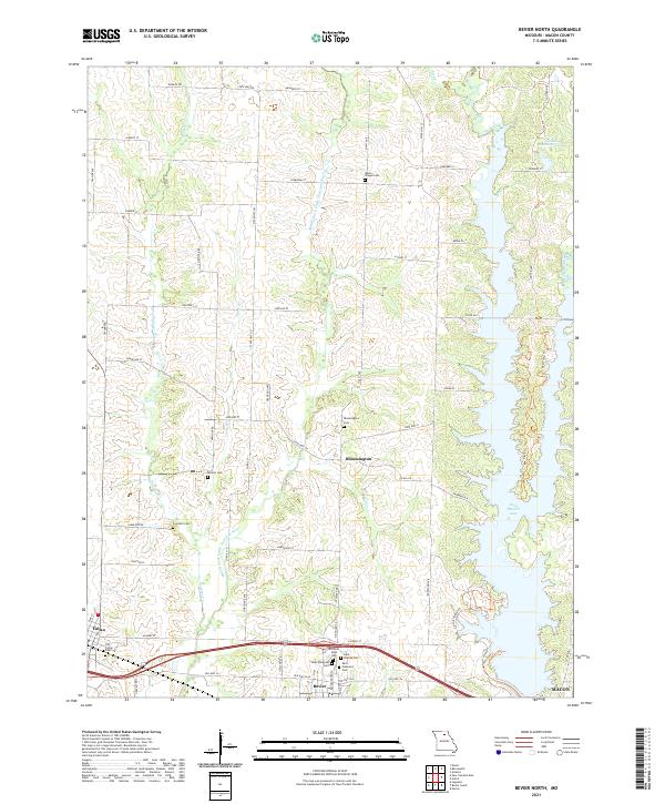 2021 Bevier North2021 Print · USGSMacon County's rural townships and river valleys are captured here in the early twenty-first century, showing the intersection of historic settlements and modern recreation. Researchers can locate numerous family burial sites such as Old Callao Cem and Milam Chapel Cem or trace the northern waters of Long Branch Lake.
End of results
Showing maps 1-17 of 17
Top cities near Bevier
- Macon historical maps
- Callao historical maps
- New Cambria historical maps
- Jacksonville historical maps
- Ethel historical maps
- Elmer historical maps
Frequently asked questions
- What are the different types of historical maps available for Bevier?
- What is the oldest map of Bevier?
- Where can I purchase historical maps of Bevier for my home or office?
- Where can I download high-res historical maps of Bevier?
- Are there historical topographic maps available for Bevier?
- Is there historical aerial imagery available for Bevier?
- Where are historical maps of Bevier sourced from?