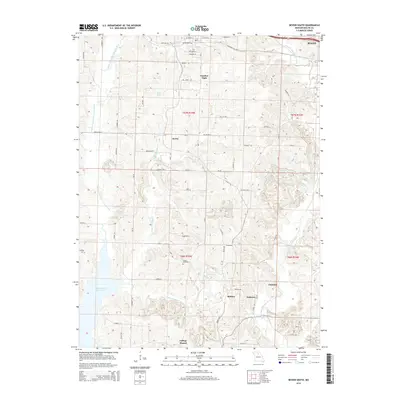
2014 Map of Bevier South
USGS Topo · Published 2014About this map
Macon anchors the northeast corner of this central Missouri landscape, where the town’s grid meets the rural reaches of Macon County. The area is defined by the winding paths of the Middle Fork Little Chariton River and the E Fork Little Chariton River, which carve through the terrain and feed into the expansive Thomas Hill Reservoir to the southwest. Smaller water features like Keota Lake and the N Fork Claybank Cr further shape the drainage patterns of this agricultural region.
Find a feature on this map
61 named features on this map. Tap any name to fly to it.
Don’t see what you’re looking for? This feature index may not catch every label — zoom into the map to look around manually.
Map Details
Editions of this 2014 Bevier South Map
This is the sole edition of this map. No revisions or reprints were ever made.
Other maps of this area

1908 · Atlanta
USGS Topo · 1:62,500

1908 · Macon
USGS Topo · 1:62,500

1910 · Macon
USGS Topo · 1:62,500

1937 · Elmer
USGS Topo · 1:48,000

1942 · Elmer
USGS Topo · 1:62,500

1953 · Moberly
USGS Topo · 1:250,000

1953 · Bevier South
USGS Topo · 1:24,000

1953 · College Mound
USGS Topo · 1:24,000

1953 · Prairie Hill
USGS Topo · 1:24,000

1953 · Lagonda
USGS Topo · 1:24,000