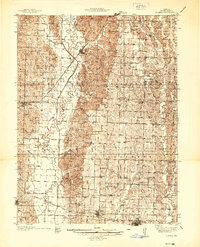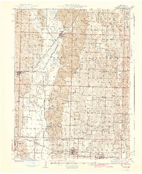
1942 Map of Elmer
USGS Topo · Published 1942About this map
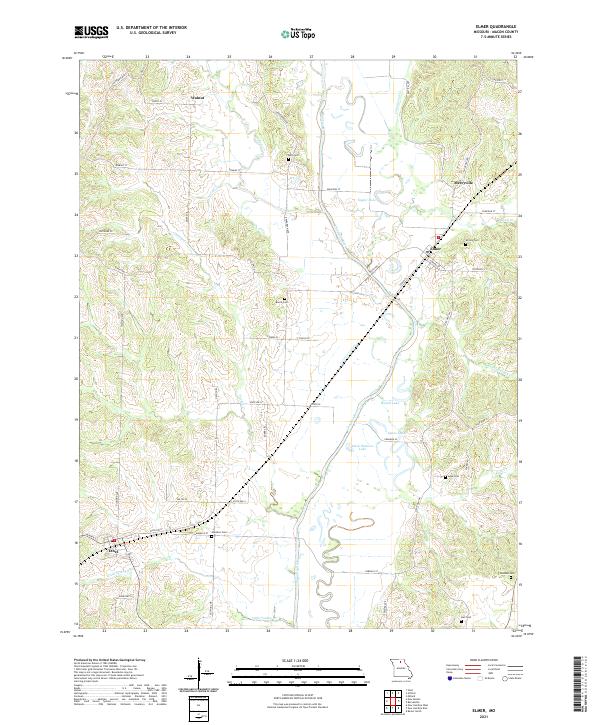
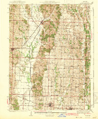
The Old Chariton River Channel meanders through Macon County, tracing the ancient path of a river system that defined early settlement patterns in this region. This mid-century survey by H.A. Buehler reveals a landscape organized into civil townships like Walnut and Richland, where a high density of rural schools and churches anchored the community. Significant transportation corridors divide the terrain, with the Atchison Topeka and Santa Fe railroad serving Elmer and the Chicago Burlington and Quincy line connecting the southern towns of New Cambria, Callao, and Bevier.
Find a feature on this map
83 named features on this map. Tap any name to fly to it.
Don’t see what you’re looking for? This feature index may not catch every label — zoom into the map to look around manually.
Map Details
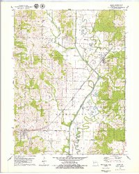
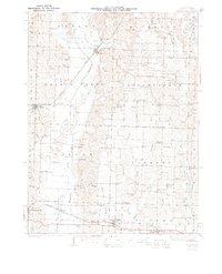
Editions of this 1942 Elmer Map
3 editions found
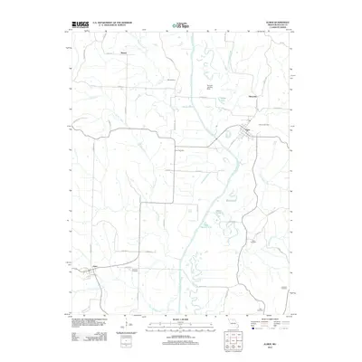
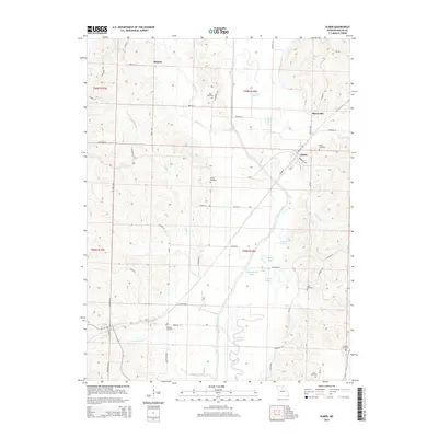
Historical Maps of Macon Through Time
7 maps found