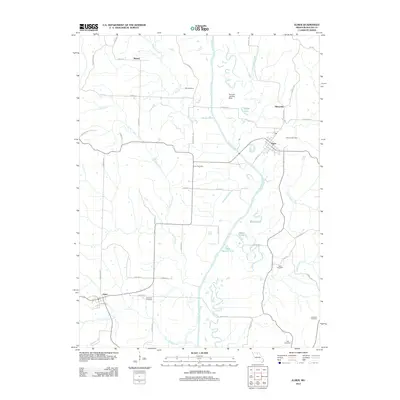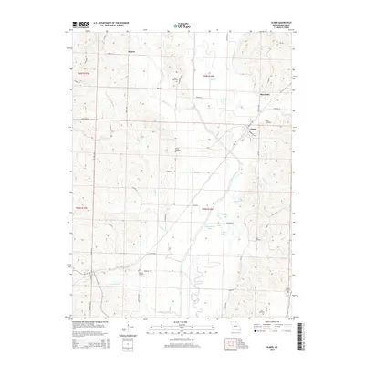
1937 Map of Elmer
USGS Topo · Published 1937About this map
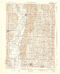
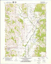
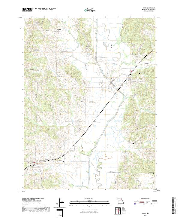
The Chariton River carves a complex, winding path through central Macon County, defining the agricultural and transport rhythms of this mid-1930s landscape. The main settlement of Elmer sits at a strategic junction where the river's Old Channel meets the modern flow, bordered by the tracks of the Atchison Topeka and Santa Fe. This survey reveals a remarkably dense network of rural infrastructure, where nearly every section supports a neighborhood schoolhouse such as Diamond Sch, Plainview Sch, or Hazel Grove Sch. Social life is anchored by country churches including Little Zion Ch and Milam Chapel, alongside long-established family burial grounds like Bell Cem and Shirley Cem. In the south, the Chicago Burlington and Quincy railroad connects the communities of New Cambria, Kern, and Callao, highlighting the vital role of rail transit in connecting these Missouri farm towns to broader markets.
Find a feature on this map
87 named features on this map. Tap any name to fly to it.
Don’t see what you’re looking for? This feature index may not catch every label — zoom into the map to look around manually.
Map Details
Editions of this 1937 Elmer Map
This is the sole edition of this map. No revisions or reprints were ever made.
Historical Maps of Macon Through Time
7 maps found