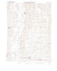
1942 Map of Elmer
USGS Topo · Published 1942About this map
The Old Channel Chariton River meanders through the heart of Macon County, defining a landscape of traditional agricultural townships like Walnut Creek and Independence. In the late 1930s, this region was a network of rural school districts and small villages connected by major rail lines. The Atchison Topeka and Santa Fe railroad serves Elmer and Ethel in the north, while the Chicago Burlington and Quincy runs through New Cambria and Callao in the south.
Find a feature on this map
85 named features on this map. Tap any name to fly to it.
Don’t see what you’re looking for? This feature index may not catch every label — zoom into the map to look around manually.
Map Details
Editions of this 1942 Elmer Map
3 editions found
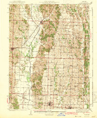
Other maps of this area

1903 · Edina
USGS Topo · 1:125,000

1908 · Atlanta
USGS Topo · 1:62,500

1908 · Macon
USGS Topo · 1:62,500

1910 · Macon
USGS Topo · 1:62,500

1937 · Elmer
USGS Topo · 1:48,000

1938 · Kirksville
USGS Topo · 1:62,500

1940 · Kirksville
USGS Topo · 1:62,500

1942 · Elmer
USGS Topo · 1:62,500

1950 · New Cambria West
USGS Topo · 1:24,000

1951 · New Boston
USGS Topo · 1:24,000