Old Maps of Madison County, Missouri
Explore 52 old maps of Madison County, spanning from 1910 to today. These high-resolution historic maps reveal how streets, neighborhoods, landmarks, and natural features evolved over time — perfect for genealogy, metal detecting, research, and local history exploration.
What you can do with these maps:
- See how Madison County changed over time: Compare historical maps to modern-day views to trace roads, homesites, rail lines & more.
- View detailed metadata: Each map includes creators, publishers, year, scale, and archive source.
- Overlay maps with satellite & LiDAR: Visualize the past alongside modern tools to explore terrain & human change.
- Trusted historical sources: Maps sourced from the USGS, Library of Congress, and other archives.
- Access maps your way: View online, download high-res files, or order prints for personal or research use.
Start exploring old maps of Madison County to uncover forgotten places, hidden landmarks, and the deep history beneath your feet.
Madison County, MO maps
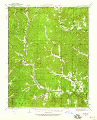
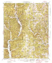
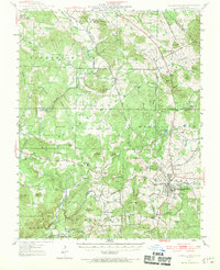
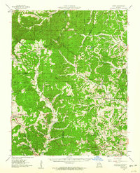
(52)- 1910 Map of Higdon
 1910 Higdon1910 Print · USGSCovers Madison County, including North Patton, Hahns Mill, and other nearby areas2 unique versions available
 - 1926 Map of Des Arc, 1960 Print
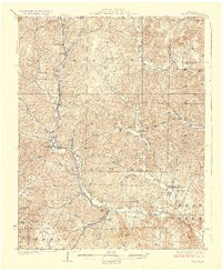
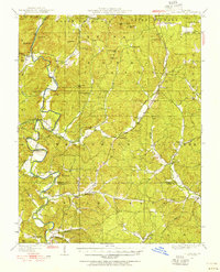
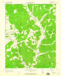
 1926 Des Arc1960 Print · USGSCovers Madison County, including Annapolis, Des Arc, and other nearby areas2 unique versions available
 - 1929 Map of Des Arc
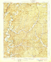
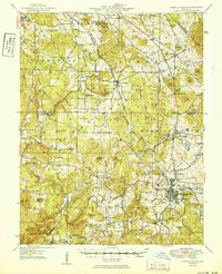
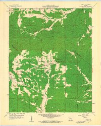
 1929 Des Arc1929 Print · USGSCovers Madison County, including Annapolis, Des Arc, and other nearby areas3 unique versions available
 - 1930 Map of Coldwater
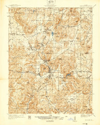
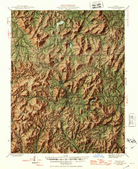
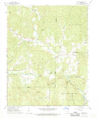
 1930 Coldwater1930 Print · USGSCovers Madison County, including Gravelton, Cherokee Pass, and other nearby areas4 unique versions available
 - 1933 Map of Marquand, 1966 Print
 1933 Marquand1966 Print · USGSCovers Madison County, including Marble Hill, Marquand, and other nearby areas2 unique versions available
 - 1937 Map of Ironton
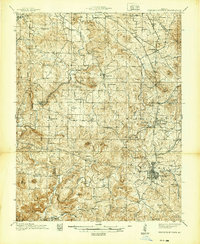
 1937 Ironton1937 Print · USGSCovers Madison County, including Ironton, Iron Mountain Lake, and other nearby areas
 - 1938 Map of Marquand
 1938 Marquand1938 Print · USGSCovers Madison County, including Marble Hill, Marquand, and other nearby areas2 unique versions available
 - 1939 Map of Fredericktown
 1939 Fredericktown1939 Print · USGSCovers Madison County, including Farmington, Fredericktown, and other nearby areas
 - 1945 Map of Ironton, 1955 Print
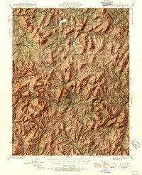 1945 Ironton1955 Print · USGSCovers Madison County, including Ironton, Iron Mountain Lake, and other nearby areas6 unique versions available
 - 1946 Map of Ironton
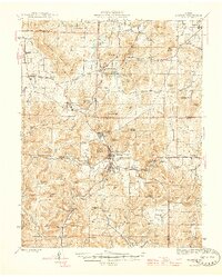 1946 Ironton1946 Print · USGSCovers Madison County, including Ironton, Iron Mountain Lake, and other nearby areas2 unique versions available
 - 1947 Map of Fredericktown, 1970 Print
 1947 Fredericktown1970 Print · USGSCovers Madison County, including Farmington, Fredericktown, and other nearby areas
 - 1949 Map of Rolla, 1950 Print
 1949 Rolla1950 Print · USGSCovers Madison County, including Rolla, Farmington, and other nearby areas
 - 1949 Map of Coldwater, 1955 Print
 1949 Coldwater1955 Print · USGSCovers Madison County, including Gravelton, Cherokee Pass, and other nearby areas2 unique versions available
 - 1950 Map of Fredericktown
 1950 Fredericktown1950 Print · USGSCovers Madison County, including Farmington, Fredericktown, and other nearby areas2 unique versions available
 - 1953 Map of Ironton
 1953 Ironton1953 Print · USGSCovers Madison County, including Ironton, Iron Mountain Lake, and other nearby areas
 - 1953 Map of Rolla
 1953 Rolla1953 Print · USGSCovers Madison County, including Rolla, Farmington, and other nearby areas
 - 1954 Map of Rolla, 1970 Print
 1954 Rolla1970 Print · USGSCovers Madison County, including Rolla, Farmington, and other nearby areas2 unique versions available
 - 1958 Map of Rolla
 1958 Rolla1958 Print · USGSCovers Madison County, including Rolla, Farmington, and other nearby areas
 - 1959 Map of Rolla
 1959 Rolla1959 Print · USGSCovers Madison County, including Rolla, Farmington, and other nearby areas
 - 1959 Map of Higdon, 1960 Print
 1959 Higdon1960 Print · USGSCovers Madison County, including North Patton, Hahns Mill, and other nearby areas2 unique versions available
 - 1959 Map of Higdon, 1960 Print
 1959 Higdon1960 Print · USGSCovers Madison County, including Hahns Mill, Castor Station, and other nearby areas3 unique versions available
 - 1959 Map of Womack, 1960 Print
 1959 Womack1960 Print · USGSCovers Madison County, including Womack, Cross Roads, and other nearby areas4 unique versions available
 - 1960 Map of Rolla
 1960 Rolla1960 Print · USGSCovers Madison County, including Rolla, Farmington, and other nearby areas
 - 1966 Map of Rolla
 1966 Rolla1966 Print · USGSCovers Madison County, including Rolla, Farmington, and other nearby areas
 - 1968 Map of Brunot, 1969 Print
 1968 Brunot1969 Print · USGSCovers Madison County, including Brunot, Beulah, and other nearby areas3 unique versions available
Showing maps 1-25 of 52
Top cities of Madison County
Frequently asked questions
- What are the different types of historical maps available for Madison County?
- What is the oldest map of Madison County?
- Where can I purchase historical maps of Madison County for my home or office?
- Where can I download high-res historical maps of Madison County?
- Are there historical topographic maps available for Madison County?
- Is there historical aerial imagery available for Madison County?
- Where are historical maps of Madison County sourced from?