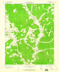
1959 Map of Higdon
USGS Topo · Published 1960About this map
The Castor River meanders through the heart of the Clark National Forest in this late 1950s survey of Madison County. The landscape is defined by the winding river valley and its numerous tributaries, including Turkey Creek, Saline Creek, and Spring Valley Creek. Local life at this time centered around small settlements and rural institutions like the Mt Gilead Ch and Spring Valley Ch. Evidence of the area's older social fabric is visible in the placement of the East Madison Sch and Underwood Sch, alongside family-named landmarks such as Hahns Mill and Peterman Cem.
Find a feature on this map
33 named features on this map. Tap any name to fly to it.
Don’t see what you’re looking for? This feature index may not catch every label — zoom into the map to look around manually.
Map Details
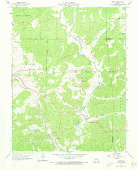
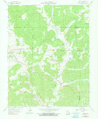
Editions of this 1959 Higdon Map
3 editions found
Other maps of this area

1910 · Higdon
USGS Topo · 1:62,500

1930 · Coldwater
USGS Topo · 1:62,500

1933 · Marquand
USGS Topo · 1:62,500

1938 · Marquand
USGS Topo · 1:62,500

1939 · Fredericktown
USGS Topo · 1:48,000

1947 · Fredericktown
USGS Topo · 1:62,500

1949 · Rolla
USGS Topo · 1:250,000

1949 · Coldwater
USGS Topo · 1:62,500

1950 · Fredericktown
USGS Topo · 1:62,500

1953 · Rolla
USGS Topo · 1:250,000