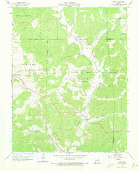
1959 Map of Higdon
USGS Topo · Published 1973About this map
The Castor River winds through the heart of this landscape on the Madison and Bollinger County border, framing a mid-century rural society rooted in small valley settlements and timberlands. Much of the western terrain is protected within the Clark National Forest, where the topography is defined by the steep drainage of Turkey Creek and Saline Creek. Outside the forest boundary, the community life of Higdon and Cornwall is clearly visible through a network of country schools and churches.
Find a feature on this map
35 named features on this map. Tap any name to fly to it.
Don’t see what you’re looking for? This feature index may not catch every label — zoom into the map to look around manually.
Map Details
Editions of this 1959 Higdon Map
3 editions found
Other maps of this area

1910 · Higdon
USGS Topo · 1:62,500

1930 · Coldwater
USGS Topo · 1:62,500

1933 · Marquand
USGS Topo · 1:62,500

1938 · Marquand
USGS Topo · 1:62,500

1939 · Fredericktown
USGS Topo · 1:48,000

1947 · Fredericktown
USGS Topo · 1:62,500

1949 · Rolla
USGS Topo · 1:250,000

1949 · Coldwater
USGS Topo · 1:62,500

1950 · Fredericktown
USGS Topo · 1:62,500

1953 · Rolla
USGS Topo · 1:250,000