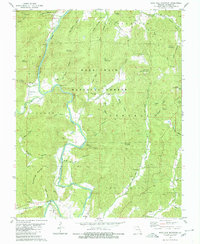
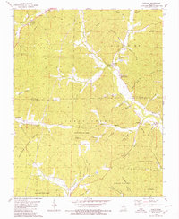
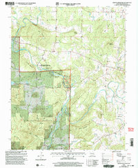
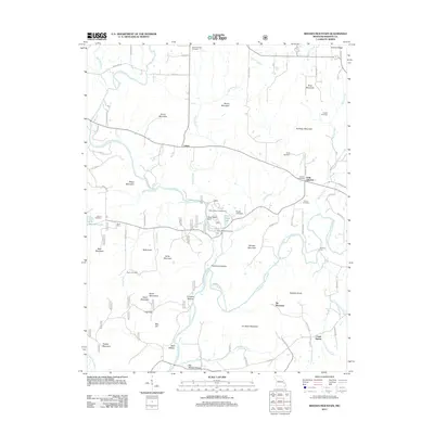
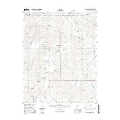
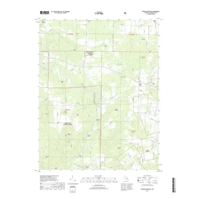
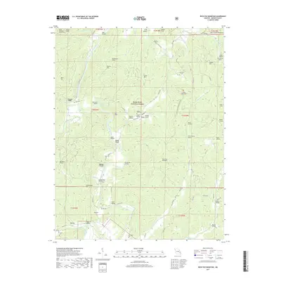
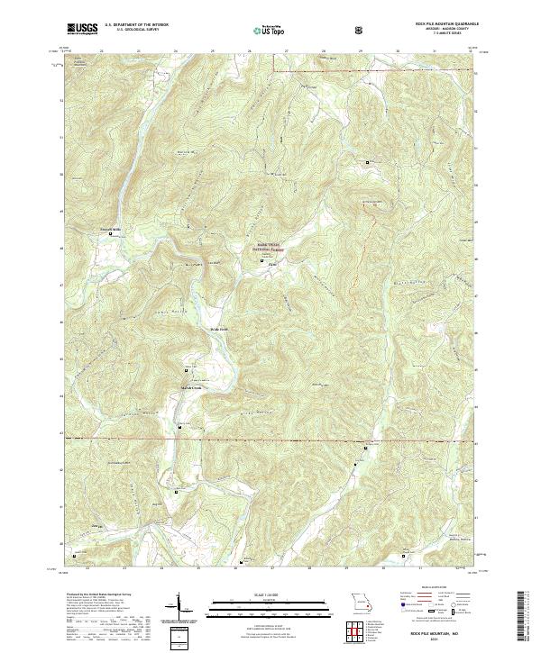
1980 Map of Rock Pile Mountain
USGS Topo · Published 1980About this map
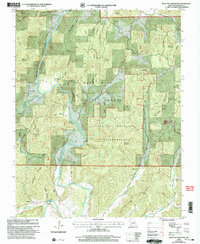
St Francis River winds through the heart of the Mark Twain National Forest in this 1980 survey, carving a path between significant peaks like Black Mountain and Arnett Mountain. The settlement of French Mills is positioned along the riverbank near Shoemaker Cem, indicating a historic nexus of milling and community life in this part of Madison County. The map is particularly rich with small family and community burial grounds, from Berry Cem near Hicks Creek to Gregory Cem and Jewett Cem, providing a detailed record for genealogical research.
Find a feature on this map
67 named features on this map. Tap any name to fly to it.
Don’t see what you’re looking for? This feature index may not catch every label — zoom into the map to look around manually.
Map Details
Editions of this 1980 Rock Pile Mountain Map
This is the sole edition of this map. No revisions or reprints were ever made.
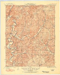
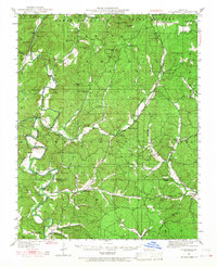
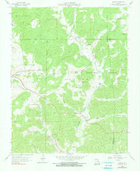
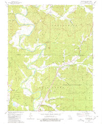
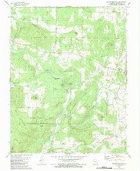
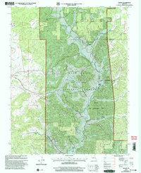
Historical Maps of French Mills Through Time
31 maps found
1930 Coldwater
Madison County, MO
1949 Coldwater
Madison County, MO
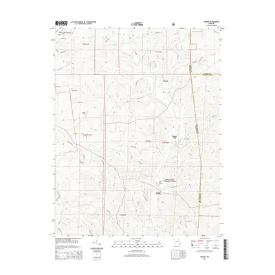
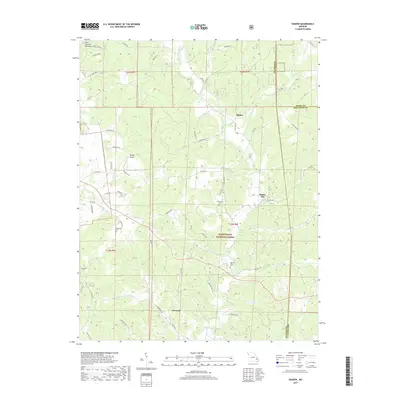
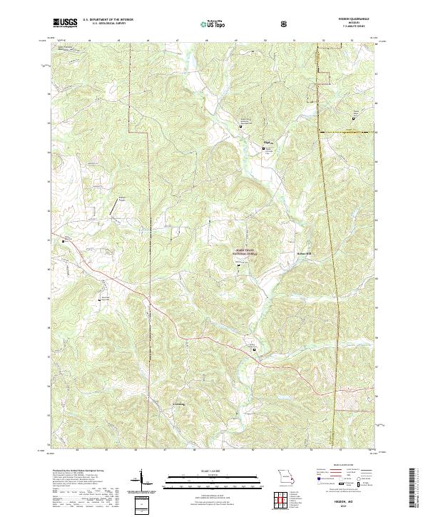
1959 Higdon
Madison County, MO
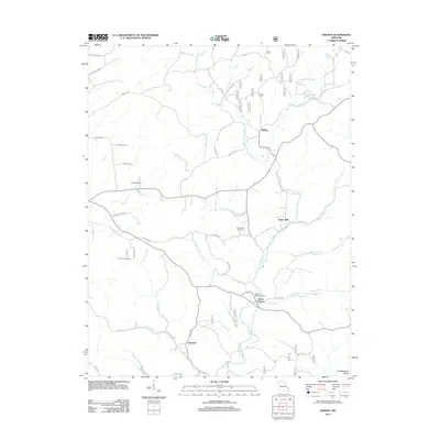
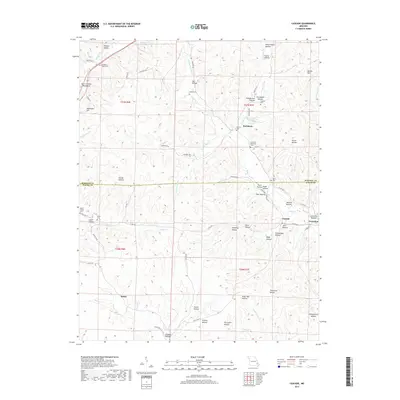
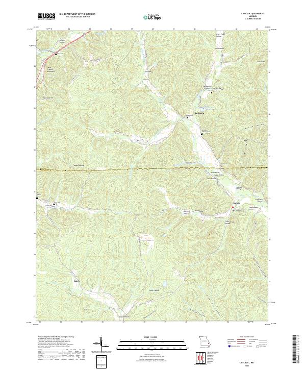
1980 Cascade
Madison County, MO
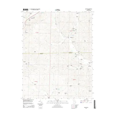
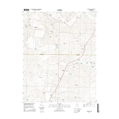
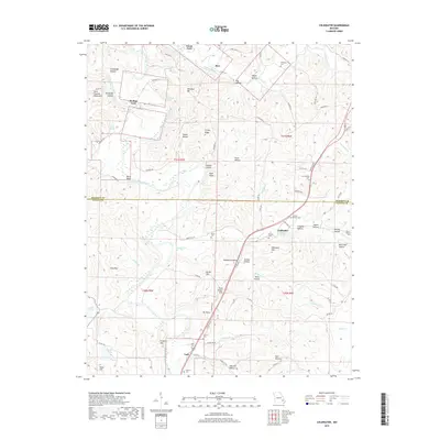
1980 Coldwater
Madison County, MO
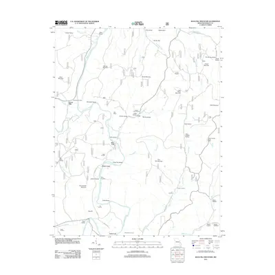
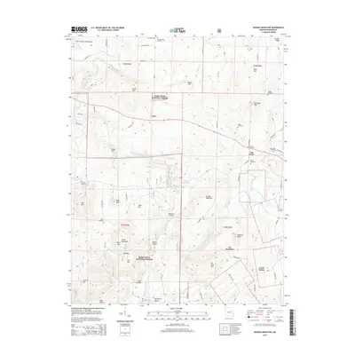
1980 Rhodes Mountain
Madison County, MO
1980 Rock Pile Mountain
Madison County, MO
2000 Higdon
Madison County, MO
2000 Rhodes Mountain
Madison County, MO
2000 Rock Pile Mountain
Madison County, MO
2011 Cascade
Madison County, MO
2011 Coldwater
Madison County, MO
2011 Higdon
Madison County, MO
2011 Rhodes Mountain
Madison County, MO
2011 Rock Pile Mountain
Madison County, MO
2015 Cascade
Madison County, MO
2015 Coldwater
Madison County, MO
2015 Higdon
Madison County, MO
2015 Rhodes Mountain
Madison County, MO
2015 Rock Pile Mountain
Madison County, MO
2017 Cascade
Madison County, MO
2017 Coldwater
Madison County, MO
2017 Higdon
Madison County, MO
2017 Rhodes Mountain
Madison County, MO
2017 Rock Pile Mountain
Madison County, MO
2021 Cascade
Madison County, MO
2021 Coldwater
Madison County, MO
2021 Higdon
Madison County, MO
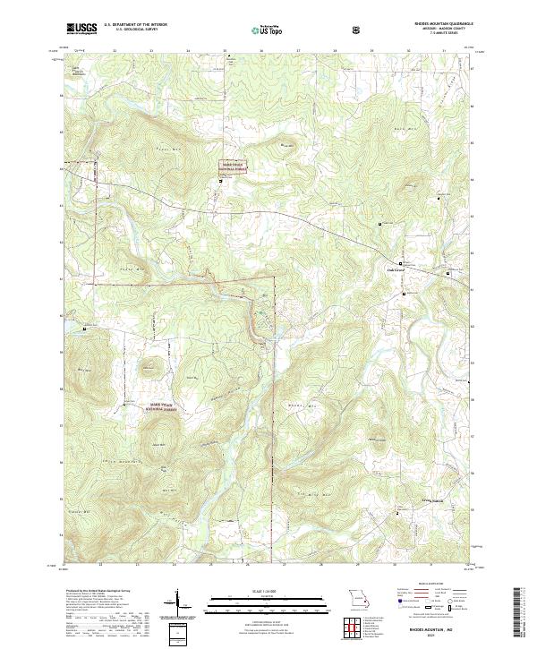
2021 Rhodes Mountain
Madison County, MO
2021 Rock Pile Mountain
Madison County, MO
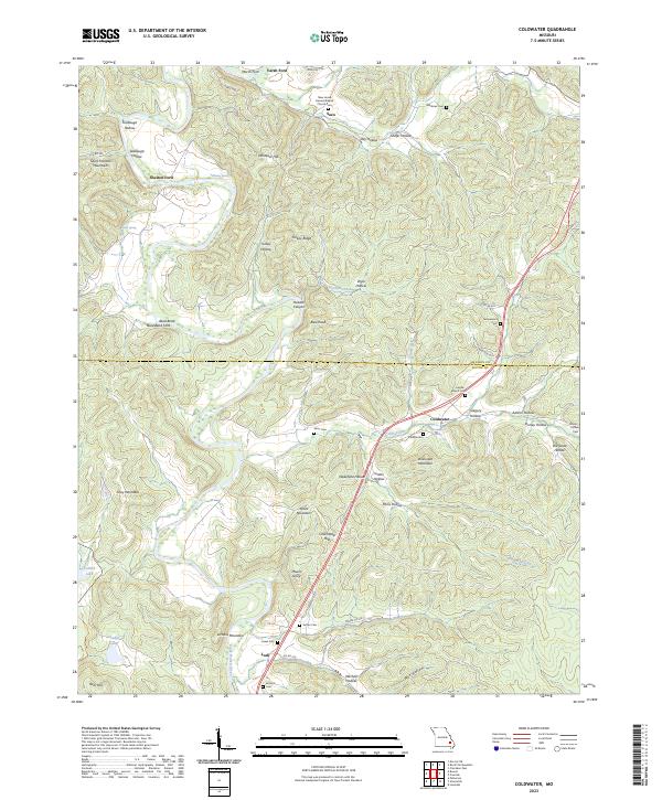
2023 Coldwater
Madison County, MO