Old Maps of Cove, Missouri for Hiking & Exploration
Hike through history with 11 historic maps of Cove. Explore old trails, ghost towns, and forgotten backroads — perfect for outdoor adventurers and local explorers.
- Rediscover forgotten places: Map out old mining camps, roads, and footpaths that no longer exist on modern maps.
- Layer with modern tools: Combine with LiDAR or satellite views to plan hikes through historical terrain.
- Made for exploration: Popular among hikers, overlanders, and local history lovers.
Use these maps to find adventure and explore the hidden past of Cove.
Cove, MO maps
(11)- 1941 Map of Rocky Comfort, 1962 Print
 1941 Rocky Comfort1962 Print · USGSThe Missouri Ozarks are captured here in the early 1940s, showing a landscape defined by the winding Big Sugar Creek and the Missouri and Arkansas railroad. Researchers can trace rural life through dozens of local sites like Chitwood Cem, Rocky Comfort, and the Spring Hill Sch.2 unique versions available
 - 1943 Map of Rocky Comfort
 1943 Rocky Comfort1943 Print · USGSThe Ozark highlands of McDonald County come into sharp focus during the early 1940s, showing a landscape of deep hollows and high ridges. Genealogists can trace family roots through numerous rural landmarks like Seven Star Sch, Greason Cem, and the village of Powell.3 unique versions available
 - 1954 Map of Tulsa
 1954 Tulsa1954 Print · USGSNortheast Oklahoma and the Ozark border are shown here during a period of massive industrial and infrastructure growth. Researchers can trace the legacy of the Tri-State Mining District and the development of major reservoirs like Grand Lake O' The Cherokees.2 unique versions available
 - 1958 Map of Tulsa, 1968 Print
 1958 Tulsa1968 Print · USGSNortheast Oklahoma and the Ozark borderlands are captured here during a massive era of reservoir construction and highway expansion. Researchers can trace the mid-century footprints of Tulsa, the sprawling Lake O' the Cherokees, and historical sites like Pea Ridge National Military Park.3 unique versions available
 - 1963 Map of Tulsa
 1963 Tulsa1963 Print · USGSThe Oklahoma and Arkansas borderlands are shown here in the early sixties, a time of massive reservoir construction and heavy mining. Genealogists can trace family roots through settlements like Nowata, Pryor, and Jay, or locate historical zinc and lead mines and coal mines.
 - 1982 Map of Jacket
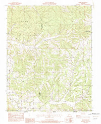 1982 Jacket1982 Print · USGSThe Missouri-Arkansas border region in the early eighties was a landscape of deep hollows and isolated Ozark settlements. Local historians can trace the road networks connecting Jacket, Trent, and Cove or locate family sites near Big Sugar Creek and Eggleston Mountain.
 - 1986 Map of Neosho
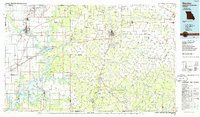 1986 Neosho1986 Print · USGSThe tri-state border region comes alive in the mid-eighties as a landscape of mining heritage and river valleys. Researchers can trace the rail lines of the Kansas City Southern Ry and locate rural landmarks like Gibson Cem and Peoria.2 unique versions available
 - 2012 Map of Jacket, 2012 Print
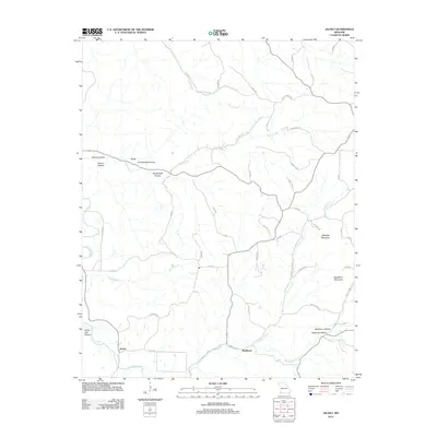 2012 Jacket2012 Print · USGSIn the early 21st century, this corner of McDonald County remains a landscape of deep hollows and high ridges. Genealogists and local historians can trace family-named terrain and remote outposts like Jacket, Eggleston Mountain, and Washburn Hollow.
 - 2015 Map of Jacket, 2015 Print
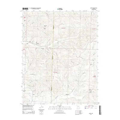 2015 Jacket2015 Print · USGSThe rural Ozarks of McDonald and Barry counties are mapped here in the mid-2010s, showing a landscape defined by ridges and deep hollows. Researchers can trace family-named landmarks and remote homesteads along Fletcher Ridge, Pendergraff Hollow, and the banks of Big Sugar Creek.
 - 2017 Map of Jacket, 2017 Print
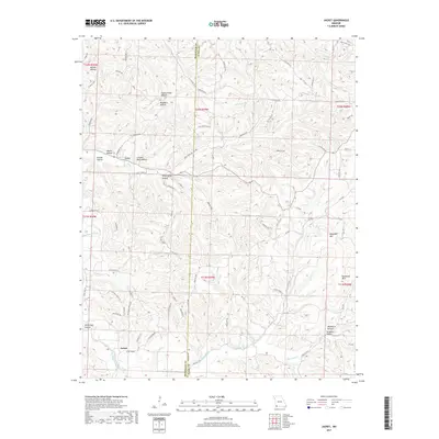 2017 Jacket2017 Print · USGSThe rural borderlands of McDonald and Barry counties come into focus here during the early twenty-first century. Local historians can trace old thoroughfares like the Old Mail Route Rd and explore family-named landmarks such as Pendergraff Hollow and Eggleston Mtn.
 - 2021 Map of Jacket, 2021 Print
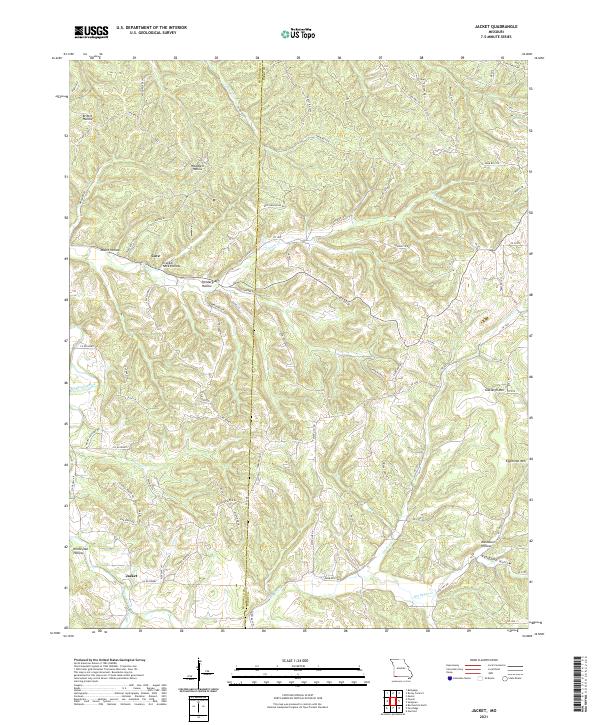 2021 Jacket2021 Print · USGSThe borderlands of Barry and McDonald County come into focus in this contemporary survey of the Ozark plateau. Genealogists and local historians can trace the topography of family-named landmarks like Pendergraff Hollow, Eggleston Mtn, and the small community of Jacket.
End of results
Showing maps 1-11 of 11
Top cities near Cove
- Rogers historical maps
- Bentonville historical maps
- Bella Vista historical maps
- Centerton historical maps
- Pea Ridge historical maps
- Gravette historical maps
See more
Frequently asked questions
- What are the different types of historical maps available for Cove?
- What is the oldest map of Cove?
- Where can I purchase historical maps of Cove for my home or office?
- Where can I download high-res historical maps of Cove?
- Are there historical topographic maps available for Cove?
- Is there historical aerial imagery available for Cove?
- Where are historical maps of Cove sourced from?