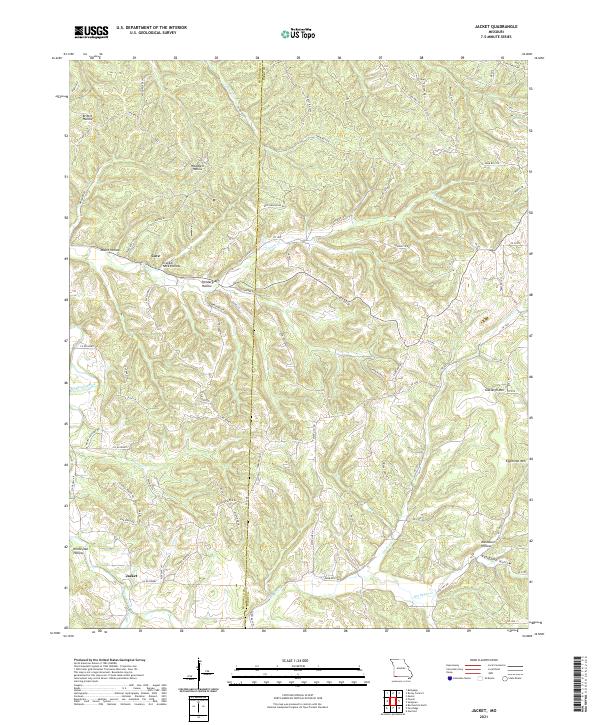
2021 Map of Jacket
USGS Topo · Published 2021About this map
Jacket and Cove anchor this portion of the Ozark plateau at the McDonald Co and Barry Co line. The landscape is defined by an intricate network of hollows and ridges, where narrow roads follow the high ground or the path of descending waters. Prominent elevations like Oakleigh Mtn and Eggleston Mtn rise above deep drainages such as Big Sugar Creek and Greasy Creek.
Find a feature on this map
83 named features on this map. Tap any name to fly to it.
Don’t see what you’re looking for? This feature index may not catch every label — zoom into the map to look around manually.
Map Details
Editions of this 2021 Jacket Map
This is the sole edition of this map. No revisions or reprints were ever made.
Other maps of this area

1899 · Fayetteville
USGS Topo · 1:125,000

1900 · Eureka Springs
USGS Topo · 1:125,000

1901 · Eureka Springs
USGS Topo · 1:125,000

1901 · Fayetteville
USGS Topo · 1:125,000

1904 · Fayetteville
USGS Topo · 1:125,000

1937 · Cassville
USGS Topo · 1:48,000

1941 · Rocky Comfort
USGS Topo · 1:62,500

1943 · Rocky Comfort
USGS Topo · 1:62,500

1944 · Cassville
USGS Topo · 1:62,500

1945 · Harrison
USGS Topo · 1:250,000