
1943 Map of Rocky Comfort
USGS Topo · Published 1943About this map
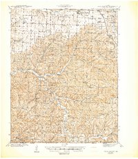
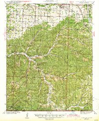
Rocky Comfort serves as a central hub in this Ozark highland region, situated at the junction of Highway 44 and Highway 86 in northern McDonald County. The landscape is defined by the deep incisions of Big Sugar Creek and Kings Creek, which create a network of ridges and hollows such as Little Blue Hollow and the Whittenburg Hills. The early 1940s settlement pattern is remarkably dense with rural institutions, featuring numerous one-room schoolhouses like Seven Star Sch, Love Sch, and Maple Grove Sch that anchored these remote hollows.
Find a feature on this map
60 named features on this map. Tap any name to fly to it.
Don’t see what you’re looking for? This feature index may not catch every label — zoom into the map to look around manually.
Map Details
Editions of this 1943 Rocky Comfort Map
3 editions found
Other maps of this area

1899 · Fayetteville
USGS Topo · 1:125,000

1900 · Eureka Springs
USGS Topo · 1:125,000

1901 · Eureka Springs
USGS Topo · 1:125,000

1901 · Fayetteville
USGS Topo · 1:125,000

1904 · Fayetteville
USGS Topo · 1:125,000

1916 · Neosho
USGS Topo · 1:62,500

1937 · Cassville
USGS Topo · 1:48,000

1940 · Noel
USGS Topo · 1:62,500

1941 · Rocky Comfort
USGS Topo · 1:62,500

1943 · Ritchey
USGS Topo · 1:62,500