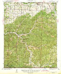
1943 Map of Rocky Comfort
USGS Topo · Published 1943About this map
Rocky Comfort serves as a primary hub in the north-central portion of this southwest Missouri landscape, situated near the confluence of the Indian Creek and South Indian Creek drainages. The topography is defined by the Ozark Plateau's characteristic dissected ridges and narrow valleys, where small farming communities like Powell, Bethpage, and Ridgely are connected by a network of winding county roads. The map documents an era when one-room schoolhouses and rural churches remained the pillars of community life, evidenced by dozens of local institutions such as Success Sch, Kings Valley Sch, and the Shiloh Ch. Along the southern border near the Arkansas line, the terrain becomes increasingly complex around Big Sugar Creek, showing the scattered homesteads and family cemeteries like Cowan Cem that characterize the remote reaches of McDonald and Barry Counties during the early 1940s.
Find a feature on this map
75 named features on this map. Tap any name to fly to it.
Don’t see what you’re looking for? This feature index may not catch every label — zoom into the map to look around manually.
Map Details
Editions of this 1943 Rocky Comfort Map
3 editions found

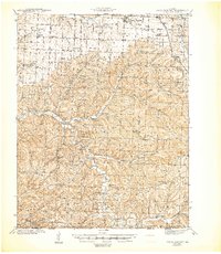
Other maps of this area

1899 · Fayetteville
USGS Topo · 1:125,000

1900 · Eureka Springs
USGS Topo · 1:125,000

1901 · Eureka Springs
USGS Topo · 1:125,000

1901 · Fayetteville
USGS Topo · 1:125,000

1904 · Fayetteville
USGS Topo · 1:125,000

1916 · Neosho
USGS Topo · 1:62,500

1937 · Cassville
USGS Topo · 1:48,000

1940 · Noel
USGS Topo · 1:62,500

1941 · Rocky Comfort
USGS Topo · 1:62,500

1943 · Ritchey
USGS Topo · 1:62,500