1941 Map of Rocky Comfort
USGS Topo · Published 1967About this map
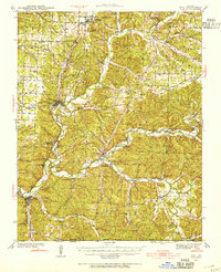
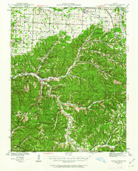
The Ozark plateau south of Rocky Comfort comes into sharp focus during the late 1930s and early 1940s, revealing a landscape defined by small-scale farming and communal centers. The network of rural schools, such as Horton Sch and Poplar Hill Sch, shows how education was distributed across the ridges and hollows before the mid-century trend toward school consolidation. Deep in the valley of Big Sugar Creek, the community of Powell serves as a local hub, while the surrounding terrain is marked by family-named landmarks like the Wittenburg Hills and Eggleston Mtn. Significant water sources like Christian Spring and the Kings River dictated the placement of early homesteads. The map also documents numerous country houses of worship, including Shiloh Ch and Mt Zion Ch, which often sat adjacent to early cemeteries like Cowan Cem, providing essential primary source data for local genealogy and land-use studies.
Find a feature on this map
67 named features on this map. Tap any name to fly to it.
Don’t see what you’re looking for? This feature index may not catch every label — zoom into the map to look around manually.
Map Details
Editions of this 1941 Rocky Comfort Map
2 editions found
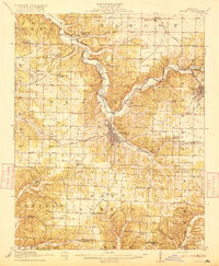
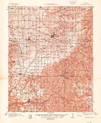
Other maps of this area

1899 · Fayetteville
USGS Topo · 1:125,000

1900 · Eureka Springs
USGS Topo · 1:125,000

1901 · Eureka Springs
USGS Topo · 1:125,000

1901 · Fayetteville
USGS Topo · 1:125,000

1904 · Fayetteville
USGS Topo · 1:125,000
1916 · Neosho
USGS Topo · 1:62,500
1937 · Cassville
USGS Topo · 1:48,000
1940 · Noel
USGS Topo · 1:62,500
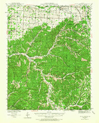
1941 · Rocky Comfort
USGS Topo · 1:62,500

1943 · Ritchey
USGS Topo · 1:62,500