Old Maps of Aurora Springs, Missouri for Academic Research
Study the evolution of Aurora Springs with 17 high-resolution historic maps. Whether you're teaching, researching, or modeling changes in land use, these maps provide essential visual documentation of urban, environmental, and geographic change.
- Analyze long-term change: Track patterns in development, transportation, and natural features.
- Ideal for environmental or urban studies: Support academic projects with primary historical map data.
- Use in the classroom or lab: Educators and researchers rely on these maps to bring historical context to life.
These maps are a powerful tool for teaching, research, and visualizing how Aurora Springs has changed over the decades.
Aurora Springs, MO maps
(17)- 1888 Map of Versailles
 1888 Versailles1888 Print · USGSCentral Missouri in the late 1880s shows the winding Osage River valley long before the creation of the Lake of the Ozarks. Researchers can trace the original locations of Linn Creek, find the Osage Iron Works, and follow the Missouri Pacific Railroad to its end in Versailles.
 - 1893 Map of Versailles
 1893 Versailles1893 Print · USGSCentral Missouri's river-and-rail landscape is captured here in the late nineteenth century, decades before the valley was transformed by dams. Genealogists can trace family roots in early settlements like Versailles, Bagnell, and the original site of Linn Creek.4 unique versions available
 - 1904 Map of Eldon
 1904 Eldon1904 Print · USGSMiller and Morgan counties thrived at the turn of the century as the new railroad network connected agricultural hills to outside markets. Genealogists can trace family roots through early settlements like Barnett Sta. and Olean or locate the historic Simpson Coalmine.
 - 1935 Map of Eldon
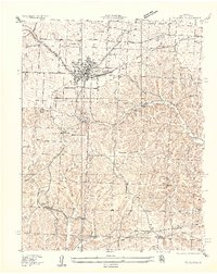 1935 Eldon1935 Print · USGSMiller County's rail and ridge lands are captured here in the mid-1930s as Eldon grew around the Chicago Rock Island and Pacific tracks. Researchers can trace the footprint of early rural education at Franklin School or locate family plots at Salem Cem and Vaughn Cem.2 unique versions available
 - 1947 Map of Jefferson City, 1949 Print
 1947 Jefferson City1949 Print · USGSCentral Missouri and the northern Ozarks come into focus in this late 1940s survey of the river-and-rail landscape. Genealogists and historians can trace the growth of Jefferson City and Sedalia or locate family roots near Bagnell Dam and the Lake of the Ozarks.
 - 1954 Map of Jefferson City
 1954 Jefferson City1954 Print · USGSCentral Missouri in the early postwar years showcases a landscape defined by the winding Lake of the Ozarks and the state capital at Jefferson City. Researchers can trace the mid-century rail networks of the Missouri Pacific RR and locate rural communities like Tuscumbia, St Elizabeth, and St Anthony.2 unique versions available
 - 1955 Map of Jefferson City, 1967 Print
 1955 Jefferson City1967 Print · USGSCentral Missouri in the mid-fifties is defined by the winding Missouri River and the expanding reach of Lake of the Ozarks. Researchers can trace the rail corridors of the Missouri Pacific or locate the early footprint of Whiteman AFB and Jefferson City.4 unique versions available
 - 1958 Map of Jefferson City
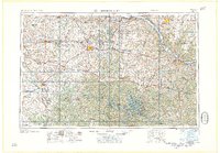 1958 Jefferson City1958 Print · USGSCentral Missouri in the late fifties shows a region transforming through the growth of Whiteman Air Force Base and the Lake of the Ozarks. Researchers can trace rail lines like the Missouri Pacific or find family roots at Enloe Cemetery and Mount Pleasant Cem.
 - 1959 Map of Jefferson City
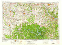 1959 Jefferson City1959 Print · USGSCentral Missouri is captured during the mid-fifties as the river economy and rail networks like the Missouri Pacific met the rise of the automobile. Local researchers can trace family landmarks and rural infrastructure from the Lake of the Ozarks up to Providence Cemetery and Knob Noster State Park.
 - 1959 Map of Eldon, 1960 Print
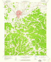 1959 Eldon1960 Print · USGSEldon sits at a vital rail crossroads in Miller County during the late fifties, where the town’s grid meets winding creek valleys and ridges. Local historians can trace the paths of the Missouri Pacific railroad, locate the Vernon Sch, and find family sites at Salem Cem and Aurora Springs.3 unique versions available
 - 1960 Map of Eldon, 1965 Print
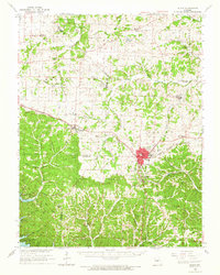 1960 Eldon1965 Print · USGSMid-century Miller County is centered around the railroad town of Eldon and the developing northern reaches of the Lake of the Ozarks. Researchers can locate rural landmarks like Hopewell Sch, the Simpson Mine, and several family cemeteries including Kelsey Cem.
 - 1983 Map of Eldon
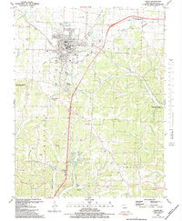 1983 Eldon1983 Print · USGSEldon and the surrounding Miller County townships are captured in the early eighties as the community balanced its railroad heritage with modern expansion. Researchers can trace numerous family burial sites like Artz-Wenzel Cem and landmarks such as Fantastic Caverns or the Eldon Model Airpark.
 - 1983 Map of Lake Of The Ozarks, 1984 Print
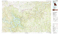 1983 Lake Of The Ozarks1984 Print · USGSThe Lake of the Ozarks region in the early eighties shows a landscape of deep river bends and growing recreation. Genealogists can trace family names and small settlements from Versailles to Meta and locate old mining sites like Tiff Mine.
 - 2011 Map of Eldon, 2011 Print
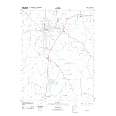 2011 Eldon2011 Print · USGSMiller County at the start of the 2010s shows the expansion of Eldon alongside its deep-rooted rural cemeteries and valley settlements. Genealogists and local historians can trace family locations near Artz-Wenzel Cemetery, Aurora Springs, and Thompson Ridge.
 - 2015 Map of Eldon, 2015 Print
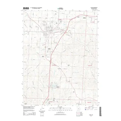 2015 Eldon2015 Print · USGSMiller County at the start of the 2010s reveals the detailed development of Eldon and its surrounding rural townships. Genealogists and local historians can trace family roots through numerous sites like Artz-Wenzel Cemetery, Vaughn Cemetery, and the community of Aurora Springs.
 - 2017 Map of Eldon, 2017 Print
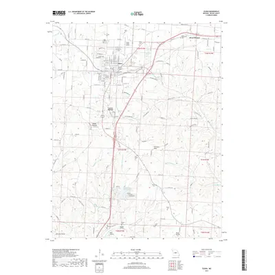 2017 Eldon2017 Print · USGSThe Miller County hills near Eldon are captured here in the late twenty-teens, showing the intersection of rural heritage and modern development. Researchers can locate numerous family burial grounds like Tol Wood and Kelsay Cemeteries or trace the early paths of Aurora Springs.
 - 2021 Map of Eldon, 2021 Print
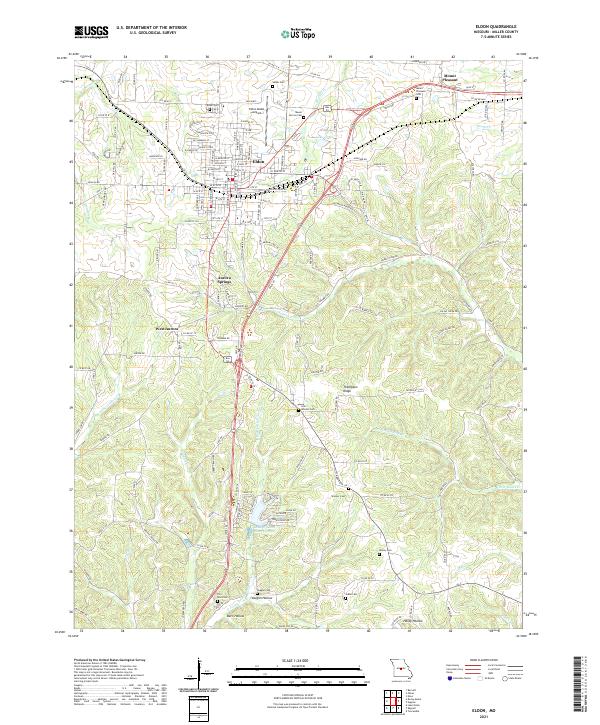 2021 Eldon2021 Print · USGSEldon and the surrounding Miller County hills are shown in detail as they appeared in the early 2020s. Researchers can trace family history through numerous rural cemeteries like Salem Cem and Skinner Cem or locate settlements at Aurora Springs and Mount Pleasant.
End of results
Showing maps 1-17 of 17
Top cities near Aurora Springs
- Eldon historical maps
- Osage Beach historical maps
- Four Seasons historical maps
- Lake Ozark historical maps
- Russellville historical maps
- Laurie historical maps
See more
Frequently asked questions
- What are the different types of historical maps available for Aurora Springs?
- What is the oldest map of Aurora Springs?
- Where can I purchase historical maps of Aurora Springs for my home or office?
- Where can I download high-res historical maps of Aurora Springs?
- Are there historical topographic maps available for Aurora Springs?
- Is there historical aerial imagery available for Aurora Springs?
- Where are historical maps of Aurora Springs sourced from?