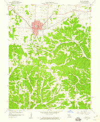
1959 Map of Eldon
USGS Topo · Published 1960About this map
Eldon serves as the primary hub of this Central Missouri landscape, where the Chicago Rock Island and Pacific and Missouri Pacific railroads once intersected. The town's mid-century character is defined by a mix of civic infrastructure and leisure sites, including the Eldon-Model Airpark, a Drive-in Theater, and nearby Stark Caverns. Moving south, the terrain becomes more complex as it transitions from the flatter uplands into the drainage basins of Saline Creek and Little Gravois Creek. Small rural communities and historic markers such as Aurora Springs, Mt Pleasant, and the Vernon Sch are scattered across the townships of Saline and Franklin. Genealogists will find several burial grounds, from the Salem Cem in the north to the Vaughn Cem near Vaughn Hollow in the south, documenting the area's established family history.
Find a feature on this map
35 named features on this map. Tap any name to fly to it.
Don’t see what you’re looking for? This feature index may not catch every label — zoom into the map to look around manually.
Map Details
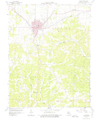
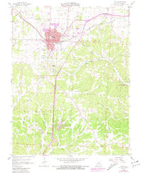
Editions of this 1959 Eldon Map
3 editions found
Other maps of this area

1888 · Versailles
USGS Topo · 1:125,000

1888 · Tuscumbia
USGS Topo · 1:125,000

1893 · Versailles
USGS Topo · 1:125,000

1894 · Tuscumbia
USGS Topo · 1:125,000

1904 · Eldon
USGS Topo · 1:62,500

1932 · Versailles No 4
USGS Topo · 1:48,000

1933 · Iberia
USGS Topo · 1:62,500

1934 · Lake Ozark
USGS Topo · 1:24,000

1934 · Bagnell
USGS Topo · 1:24,000

1935 · Rocky Mount
USGS Topo · 1:24,000