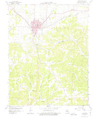
1959 Map of Eldon
USGS Topo · Published 1975About this map
The railroad hub of Eldon serves as the focal point of this 1950s survey, showing the town at a mid-century peak of regional importance. The Chicago Rock Island And Pacific railroad cuts a diagonal path through the northern landscape, while the southern portion of the quadrangle reveals a shift toward rugged topography and natural landmarks. Local landmarks like Stark Caverns and a Drive-in Theater south of town highlight the era's recreational economy alongside traditional rural mainstays like Mt Carmel Ch and Vernon Sch.
Find a feature on this map
37 named features on this map. Tap any name to fly to it.
Don’t see what you’re looking for? This feature index may not catch every label — zoom into the map to look around manually.
Map Details
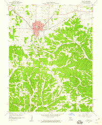
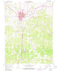
Editions of this 1959 Eldon Map
3 editions found
Other maps of this area

1888 · Versailles
USGS Topo · 1:125,000

1888 · Tuscumbia
USGS Topo · 1:125,000

1893 · Versailles
USGS Topo · 1:125,000

1894 · Tuscumbia
USGS Topo · 1:125,000

1904 · Eldon
USGS Topo · 1:62,500

1932 · Versailles No 4
USGS Topo · 1:48,000

1933 · Iberia
USGS Topo · 1:62,500

1934 · Lake Ozark
USGS Topo · 1:24,000

1934 · Bagnell
USGS Topo · 1:24,000

1935 · Rocky Mount
USGS Topo · 1:24,000