Old Maps of East Prairie, Missouri for Genealogy
Trace your family roots with 14 historic maps of East Prairie. These high-res maps reveal old neighborhoods, homesites, landmarks, and streets — helping you uncover where your ancestors lived and how the area evolved over time.
- Explore historic neighborhoods: Identify where your relatives may have lived in the 1800s or 1900s.
- Compare maps over time: Trace the changes in streets, buildings, and landmarks for multi-generational research.
- Perfect for genealogy & ancestry research: Used by family historians and researchers to map out lineage and migration.
These maps are an incredible resource for exploring your personal connection to East Prairie's past.
East Prairie, MO maps
(14)- 1939 Map of Charleston, 1941 Print
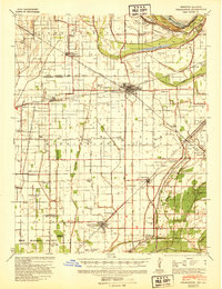 1939 Charleston1941 Print · USGSThe Missouri Bootheel near Charleston is shown here just as the modern levee and ditch systems were taking final shape. Researchers can trace the era's rural social fabric through numerous local landmarks like Pulltight Sch, Maynard Cem, and the St Louis Southwestern rail line.2 unique versions available
 - 1954 Map of Charleston
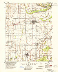 1954 Charleston1954 Print · USGSSoutheastern Missouri's river country is captured here during the mid-1950s, showing the complex drainage systems of the Bootheel. Researchers can locate dozens of rural landmarks like Bridges Ch & Sch, Maynard Cem, and the Missouri Pacific line.2 unique versions available
 - 1956 Map of Dyersburg, 1960 Print
 1956 Dyersburg1960 Print · USGSThe Four Rivers region comes alive in the mid-fifties, capturing the intricate borderlands of Tennessee, Kentucky, and Missouri. Genealogists and historians can trace the rail-and-river networks connecting Dyersburg, Caruthersville, and the shoreline of Reelfoot Lake.4 unique versions available
 - 1969 Map of East Prairie, 1971 Print
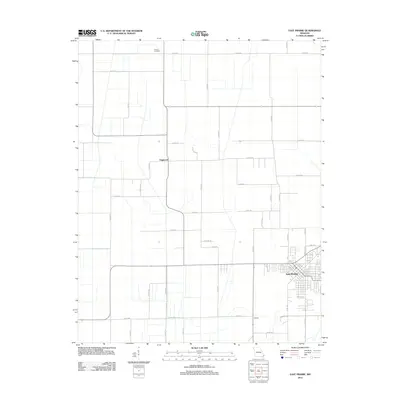
 1969 East Prairie1971 Print · USGSMissouri's Bootheel region is captured here in the late sixties, showing a landscape of productive agricultural prairies and drainage works. Genealogists and historians can trace local landmarks like Armour Cem, Bement Ch, and the schools of East Prairie.
 - 1969 Map of Anniston, 1971 Print
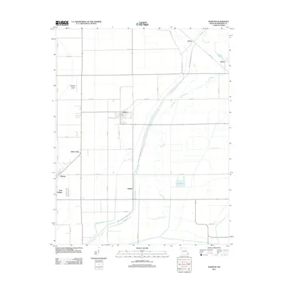
 1969 Anniston1971 Print · USGSSoutheast Missouri in the late 1960s centers on the junction of rail and floodway engineering in Mississippi County. Genealogists and local historians can trace family roots through sites like New Bethel Ch, Anniston, and the small community of Whiting.
 - 1985 Map of Sikeston, 1986 Print
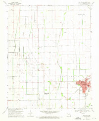
 1985 Sikeston1986 Print · USGSThe Missouri Bootheel and the four-state river convergence are captured in the mid-eighties as the modern agricultural and rail networks matured. Researchers can locate regional landmarks like the Towosahgy State Historic Site, Oak Grove Cem, and towns along the St Louis Southwestern Railroad.2 unique versions available
 - 2012 Map of East Prairie, 2012 Print
 2012 East Prairie2012 Print · USGSCovers East Prairie, including Dogwood, New Madrid County, and other nearby areas
 - 2012 Map of Anniston, 2012 Print
 2012 Anniston2012 Print · USGSCovers East Prairie, including Anniston, Airline Acres, and other nearby areas
 - 2015 Map of East Prairie, 2015 Print
 2015 East Prairie2015 Print · USGSCovers East Prairie, including Dogwood, New Madrid County, and other nearby areas
 - 2015 Map of Anniston, 2015 Print
 2015 Anniston2015 Print · USGSCovers East Prairie, including Anniston, Airline Acres, and other nearby areas
 - 2017 Map of East Prairie, 2017 Print
 2017 East Prairie2017 Print · USGSCovers East Prairie, including Dogwood, New Madrid County, and other nearby areas
 - 2017 Map of Anniston, 2017 Print
 2017 Anniston2017 Print · USGSCovers East Prairie, including Anniston, Airline Acres, and other nearby areas
 - 2021 Map of Anniston, 2021 Print
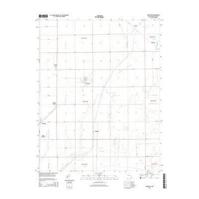
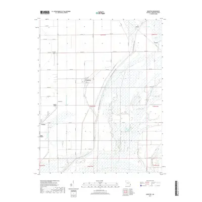
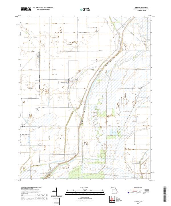 2021 Anniston2021 Print · USGSThe Missouri Bootheel's agricultural and drainage history is on full display in this modern survey of the lowlands near the Mississippi River. Researchers can trace local lineage at Anniston Cem or explore the development of Anniston, Whiting, and Airline Acres.
 - 2021 Map of East Prairie, 2021 Print
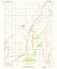
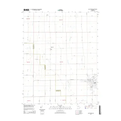
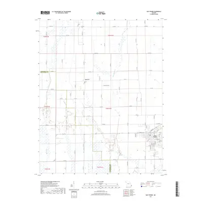
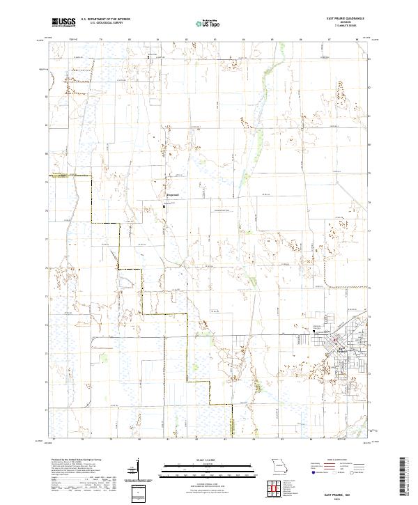 2021 East Prairie2021 Print · USGSSoutheast Missouri's agricultural heartland is documented here in the early twenty-first century, showing the reclaimed lands of the Bootheel. Genealogists and local historians can locate East Prairie and the Dogwood Cem, alongside the complex drainage of Maple Slough Ditch.
End of results
Showing maps 1-14 of 14
Top cities near East Prairie
- Sikeston historical maps
- Charleston historical maps
- New Madrid historical maps
- Cairo historical maps
- Hickman historical maps
- Lilbourn historical maps
See more
Frequently asked questions
- What are the different types of historical maps available for East Prairie?
- What is the oldest map of East Prairie?
- Where can I purchase historical maps of East Prairie for my home or office?
- Where can I download high-res historical maps of East Prairie?
- Are there historical topographic maps available for East Prairie?
- Is there historical aerial imagery available for East Prairie?
- Where are historical maps of East Prairie sourced from?