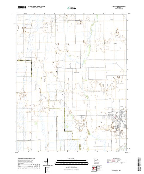
2021 Map of East Prairie
USGS Topo · Published 2021About this map
The low-lying Bootheel terrain of Southeast Missouri is defined here by an extensive network of drainage channels, including Maple Slough Ditch and Ash Ditch, which were critical for reclaiming the fertile soils of Dogwood Bottoms. The town of East Prairie serves as the primary hub in the southeastern corner, where a traditional grid of streets like W Washington St and Prairie Dr meets the agricultural hinterland. Farther north, the small settlement of Dogwood remains centered near the Dogwood Cem. This 2021 survey by the U.S. Geological Survey also records the Armer Cem near the northern boundary and Memorial Park Cem on the outskirts of East Prairie. The map illustrates the contemporary intersection of modern county roads and state routes, such as State Hwy B and State Hwy BB, against a landscape shaped by a century of hydraulic engineering.
Find a feature on this map
71 named features on this map. Tap any name to fly to it.
Don’t see what you’re looking for? This feature index may not catch every label — zoom into the map to look around manually.
Map Details
Editions of this 2021 East Prairie Map
This is the sole edition of this map. No revisions or reprints were ever made.
Other maps of this area

1931 · Sikeston
USGS Topo · 1:62,500

1934 · Sikeston
USGS Topo · 1:62,500

1939 · Sikeston
USGS Topo · 1:62,500

1939 · Charleston
USGS Topo · 1:62,500

1939 · New Madrid
USGS Topo · 1:62,500

1939 · Bayouville
USGS Topo · 1:62,500

1954 · Charleston
USGS Topo · 1:62,500

1954 · New Madrid
USGS Topo · 1:62,500

1955 · Bayouville
USGS Topo · 1:62,500

1956 · Dyersburg
USGS Topo · 1:250,000