Old Maps of Three States, Missouri for Genealogy
Trace your family roots with 12 historic maps of Three States. These high-res maps reveal old neighborhoods, homesites, landmarks, and streets — helping you uncover where your ancestors lived and how the area evolved over time.
- Explore historic neighborhoods: Identify where your relatives may have lived in the 1800s or 1900s.
- Compare maps over time: Trace the changes in streets, buildings, and landmarks for multi-generational research.
- Perfect for genealogy & ancestry research: Used by family historians and researchers to map out lineage and migration.
These maps are an incredible resource for exploring your personal connection to Three States's past.
Three States, MO maps
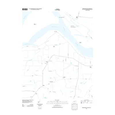
(12)- 1939 Map of Bayouville, 1942 Print
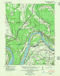 1939 Bayouville1942 Print · USGSThe Missouri bootheel and the winding Kentucky riverfront are shown here just before the war. Genealogists can trace family names and local hubs like Pinhook Ch & Sch, Sugar Tree Ridge Sch, and the St Louis Southwestern RR.2 unique versions available
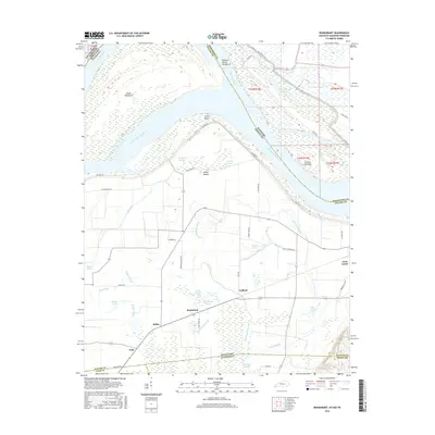
 - 1951 Map of Bondurant, 1952 Print
 1951 Bondurant1952 Print · USGSThe Kentucky-Tennessee borderlands and the Mississippi River bottoms are captured here during the early fifties. Genealogists and historians can trace the Illinois Central rail line through rural hubs like Bondurant, Sassafras Ridge, and Tyler.
 - 1955 Map of Bayouville
 1955 Bayouville1955 Print · USGSThe river bottomlands of the Missouri-Kentucky border are shown in the mid-1950s as a landscape of intensive levee engineering and rural community nodes. Researchers can locate many now-obscure sites like Henderson Mound, Barnes Ridge Ch, and the school at Madrid Bend.
 - 1956 Map of Dyersburg, 1960 Print
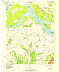
 1956 Dyersburg1960 Print · USGSThe Four Rivers region comes alive in the mid-fifties, capturing the intricate borderlands of Tennessee, Kentucky, and Missouri. Genealogists and historians can trace the rail-and-river networks connecting Dyersburg, Caruthersville, and the shoreline of Reelfoot Lake.4 unique versions available
 - 1969 Map of Bondurant, 1972 Print
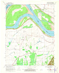 1969 Bondurant1972 Print · USGSThe tri-state border region of Kentucky, Missouri, and Tennessee comes alive in this late-sixties study of the Mississippi river bends. Genealogists can locate family landmarks like Sassafras Ridge Ch, Western Sch, and the Indian Mound.2 unique versions available
 - 1972 Map of Bayouville
 1972 Bayouville1972 Print · USGSThe tri-state river country of Missouri, Kentucky, and Tennessee is mapped here in the early seventies as a land of massive river bends and ancient mounds. Researchers can trace historic earthworks at Corner Stone Indian Mound, find rural burials at Cole Cem, and locate settlements like Dorena and Farrenburg.
 - 1985 Map of Sikeston, 1986 Print
 1985 Sikeston1986 Print · USGSThe Missouri Bootheel and the four-state river convergence are captured in the mid-eighties as the modern agricultural and rail networks matured. Researchers can locate regional landmarks like the Towosahgy State Historic Site, Oak Grove Cem, and towns along the St Louis Southwestern Railroad.2 unique versions available
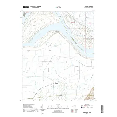
 - 2010 Map of Bondurant, 2010 Print
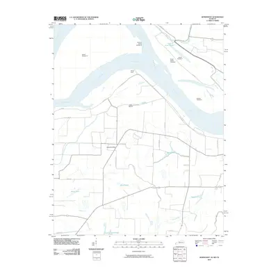 2010 Bondurant2010 Print · USGSCovers Three States, including Tyler, Bondurant, and other nearby areas
 - 2013 Map of Bondurant, 2013 Print
 2013 Bondurant2013 Print · USGSCovers Three States, including Tyler, Bondurant, and other nearby areas
 - 2016 Map of Bondurant, 2016 Print
 2016 Bondurant2016 Print · USGSCovers Three States, including Tyler, Bondurant, and other nearby areas
 - 2019 Map of Bondurant, 2019 Print
 2019 Bondurant2019 Print · USGSCovers Three States, including Tyler, Bondurant, and other nearby areas
 - 2022 Map of Bondurant, 2022 Print
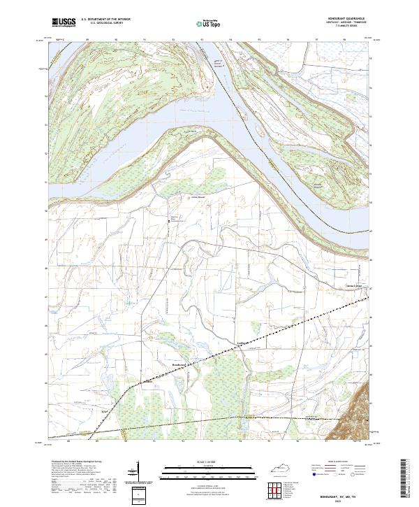 2022 Bondurant2022 Print · USGSThe Mississippi River bottomlands of Kentucky and Tennessee are mapped here during the early 2020s, showing a landscape defined by alluvial plains and flood control. Researchers can trace family roots through the Sassafras Ridge Community Cem or locate the historic sites of Bondurant and Tyler among the winding channels of Hogpen Slough and Willow Pond.
End of results
Showing maps 1-12 of 12
Top cities near Three States
- Union City historical maps
- Tiptonville historical maps
- East Prairie historical maps
- Hickman historical maps
- Woodland Mills historical maps
- Anniston historical maps
See more
Frequently asked questions
- What are the different types of historical maps available for Three States?
- What is the oldest map of Three States?
- Where can I purchase historical maps of Three States for my home or office?
- Where can I download high-res historical maps of Three States?
- Are there historical topographic maps available for Three States?
- Is there historical aerial imagery available for Three States?
- Where are historical maps of Three States sourced from?