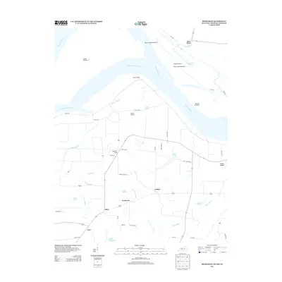
2013 Map of Bondurant
USGS Topo · Published 2013About this map
The Mississippi River snakes through the tri-state border region of Kentucky, Missouri, and Tennessee in this 2013 survey. The landscape is defined by the river’s historic path, featuring prominent alluvial formations like Island Number 8, Island Number 7, and the Bend of Island Number 8. Inland from the riverbanks, the map reveals a complex system of sloughs and ponds, including Rittenhouse Slough, Owens Slough, and Hamby Pond, which dictate the local drainage and agricultural patterns.
Find a feature on this map
53 named features on this map. Tap any name to fly to it.
Don’t see what you’re looking for? This feature index may not catch every label — zoom into the map to look around manually.
Map Details
Editions of this 2013 Bondurant Map
This is the sole edition of this map. No revisions or reprints were ever made.
Other maps of this area

1925 · Reelfoot Lake
USGS Topo · 1:62,500

1939 · Reelfoot Lake
USGS Topo · 1:62,500

1939 · Hickman
USGS Topo · 1:62,500

1939 · Bayouville
USGS Topo · 1:62,500

1951 · Bondurant
USGS Topo · 1:24,000

1951 · Hickman
USGS Topo · 1:24,000

1951 · Wolf Island
USGS Topo · 1:24,000

1951 · Hubbard Lake
USGS Topo · 1:24,000

1954 · Hickman
USGS Topo · 1:62,500
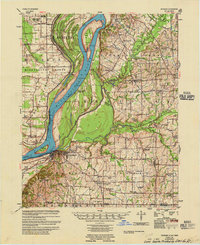
1955 · Hickman
USGS Topo · 1:62,500