Old Maps of Wolf Island, Missouri for Hiking & Exploration
Hike through history with 13 historic maps of Wolf Island. Explore old trails, ghost towns, and forgotten backroads — perfect for outdoor adventurers and local explorers.
- Rediscover forgotten places: Map out old mining camps, roads, and footpaths that no longer exist on modern maps.
- Layer with modern tools: Combine with LiDAR or satellite views to plan hikes through historical terrain.
- Made for exploration: Popular among hikers, overlanders, and local history lovers.
Use these maps to find adventure and explore the hidden past of Wolf Island.
Wolf Island, MO maps
(13)- 1939 Map of Hickman, 1941 Print
 1939 Hickman1941 Print · USGSWestern Kentucky and the Missouri bootheel meet at the river in the late 1930s, showing a landscape of flood control and rural growth. Genealogists can locate family-named sites like Hubbard Cem, Stubbs Sch, and the riverside settlement of Dorena.4 unique versions available
 - 1951 Map of Wolf Island, 1953 Print
 1951 Wolf Island1953 Print · USGSThe Mississippi River floodplain at the Kentucky-Missouri border is captured here in the early fifties, showing a landscape shaped by shifting currents. Researchers can trace the mid-century channel and landforms like Wolf Island No 5, Medley Bar, and the banks near Chalk Bluff.2 unique versions available
 - 1954 Map of Hickman, 1966 Print
 1954 Hickman1966 Print · USGSThe tristate river country of Kentucky, Missouri, and Tennessee is captured here during the mid-century era of river control and rural rail. Genealogists can trace family landmarks like Sylvan Shade Sch, Dorena, and the river landings at Williams Ldg.
 - 1955 Map of Hickman
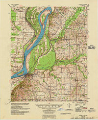 1955 Hickman1955 Print · USGSMid-century life along the Mississippi River meanders is captured here during a period of heavy river engineering and rural expansion. Genealogists can trace family names and local sites like Sassafras Ridge Cem, Dorena Ch, and the Illinois Central rail line.2 unique versions available
 - 1956 Map of Dyersburg, 1960 Print
 1956 Dyersburg1960 Print · USGSThe Four Rivers region comes alive in the mid-fifties, capturing the intricate borderlands of Tennessee, Kentucky, and Missouri. Genealogists and historians can trace the rail-and-river networks connecting Dyersburg, Caruthersville, and the shoreline of Reelfoot Lake.4 unique versions available
 - 1969 Map of Wolf Island, 1972 Print
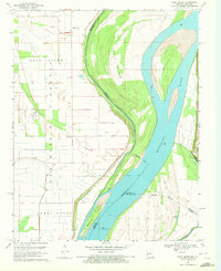 1969 Wolf Island1972 Print · USGSThe Mississippi River borderlands between Missouri and Kentucky are captured here in the late sixties. Genealogists can trace family landmarks like Ivie Cem, Mt Zion Ch, and the grounds of Towosahgy State Park.2 unique versions available
 - 1972 Map of Hickman
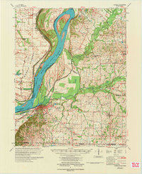 1972 Hickman1972 Print · USGSThe Kentucky and Tennessee borderlands come alive in the early 1970s, as the mighty Mississippi winds past riverfront settlements. Researchers can trace the Illinois Central rail line through rural hubs like Moscow and Cayce, or locate family landmarks such as Mt Hermon Ch and Ivie Cem.
 - 1985 Map of Sikeston, 1986 Print
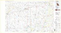 1985 Sikeston1986 Print · USGSThe Missouri Bootheel and the four-state river convergence are captured in the mid-eighties as the modern agricultural and rail networks matured. Researchers can locate regional landmarks like the Towosahgy State Historic Site, Oak Grove Cem, and towns along the St Louis Southwestern Railroad.2 unique versions available
 - 2010 Map of Wolf Island, 2010 Print
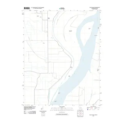 2010 Wolf Island2010 Print · USGSThe Missouri-Kentucky borderlands along the Mississippi River are captured here in the early twenty-first century. Genealogists and historians can locate numerous burial sites such as Ivie Cemetery and Lee Cemetery near the settlement of Wolf Island.
 - 2012 Map of Wolf Island, 2012 Print
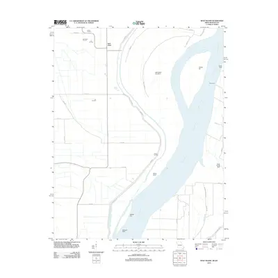 2012 Wolf Island2012 Print · USGSThe Missouri-Kentucky borderlands along the Mississippi River are captured here in the early twenty-first century. Genealogists can trace family roots at Wolf Island Cemetery or Lee Cemetery, while river historians can locate Medley Landing and Beckwith Bend.
 - 2015 Map of Wolf Island, 2015 Print
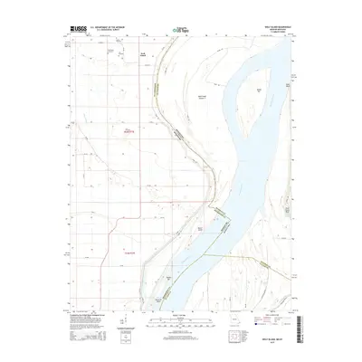 2015 Wolf Island2015 Print · USGSThe Mississippi River bottomlands along the Missouri-Kentucky border are captured here in the mid-2010s. Genealogists and local researchers can trace family landmarks like Barnes Cemetery and Lee Cemetery or explore the river geography of Beckwith Bend and Chalk Bluff.
 - 2017 Map of Wolf Island, 2017 Print
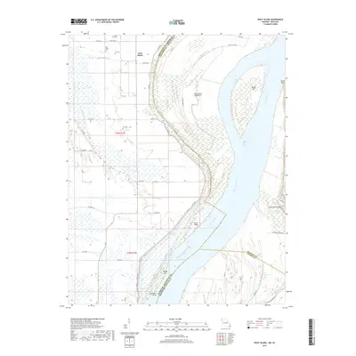 2017 Wolf Island2017 Print · USGSThe Missouri-Kentucky borderlands along the Mississippi River are captured here in the late 2010s. Local researchers can locate several historic burial sites, including Ivie Cem and Wolf Island Cem, or trace the river's path past Chalk Bluff.
 - 2021 Map of Wolf Island, 2021 Print
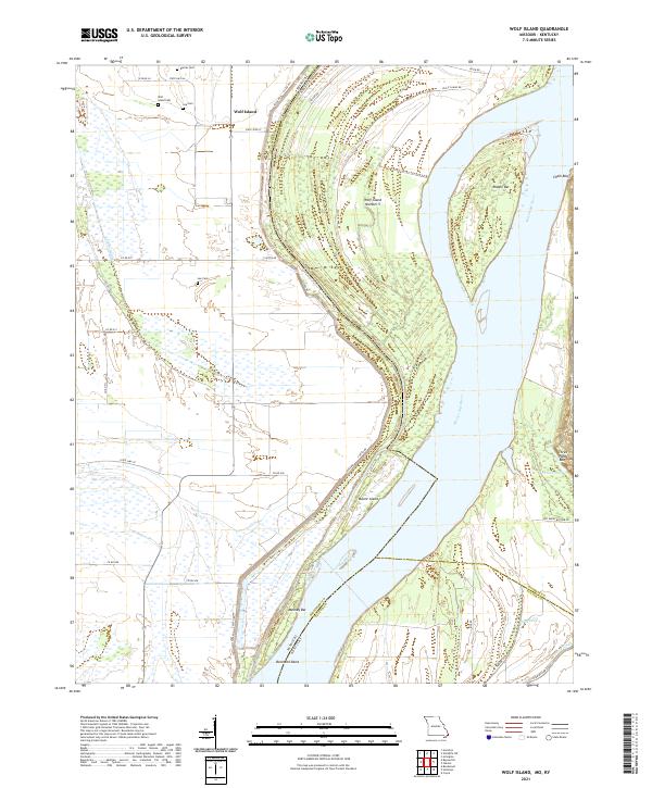 2021 Wolf Island2021 Print · USGSThe Missouri-Kentucky borderlands are defined by the river's changing course in the early 2020s. Genealogists can trace family footprints at Wolf Island Cem and Lee Cem near the riverfront landings at Beckwith Bend.
End of results
Showing maps 1-13 of 13
Top cities near Wolf Island
- Charleston historical maps
- East Prairie historical maps
- Hickman historical maps
- Clinton historical maps
- Bardwell historical maps
- Wickliffe historical maps
See more
Frequently asked questions
- What are the different types of historical maps available for Wolf Island?
- What is the oldest map of Wolf Island?
- Where can I purchase historical maps of Wolf Island for my home or office?
- Where can I download high-res historical maps of Wolf Island?
- Are there historical topographic maps available for Wolf Island?
- Is there historical aerial imagery available for Wolf Island?
- Where are historical maps of Wolf Island sourced from?